
Pillar: Ground, hazard and utilities
Διαβάστε το άρθρο στα ελληνικά.
Greek flood zones: what a ΖΔΥΚΠ result means for a property buyer
On this page
The parcel in Νέα Προποντίδα is inside a ΖΔΥΚΠ and close to a modelled flood corridor. The two findings answer different questions, and neither is a parcel-scale permit decision.
This guide is a preliminary screen for a cost or timing question, not legal, surveying, engineering or tax advice; read the full scope and limits before relying on it.
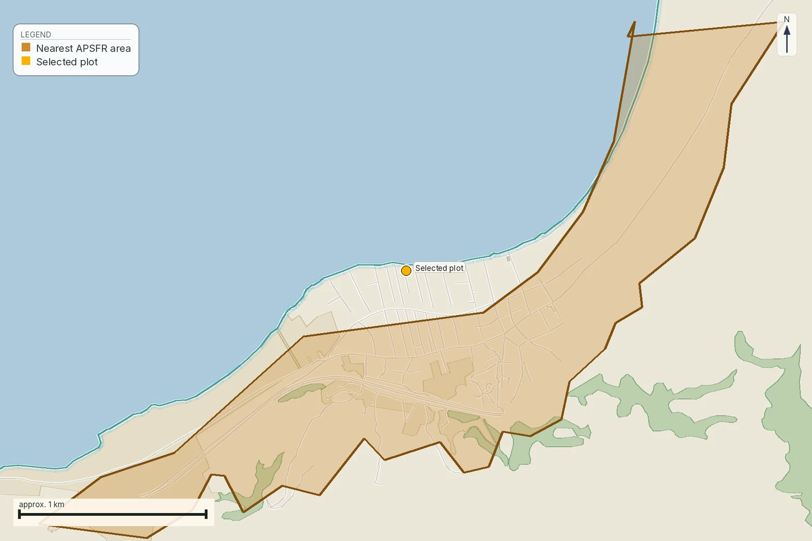
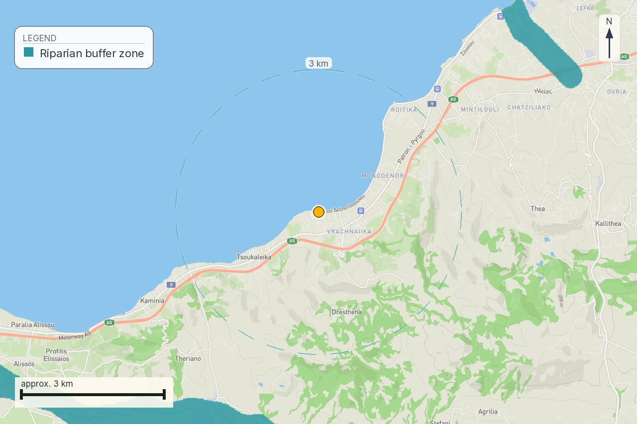
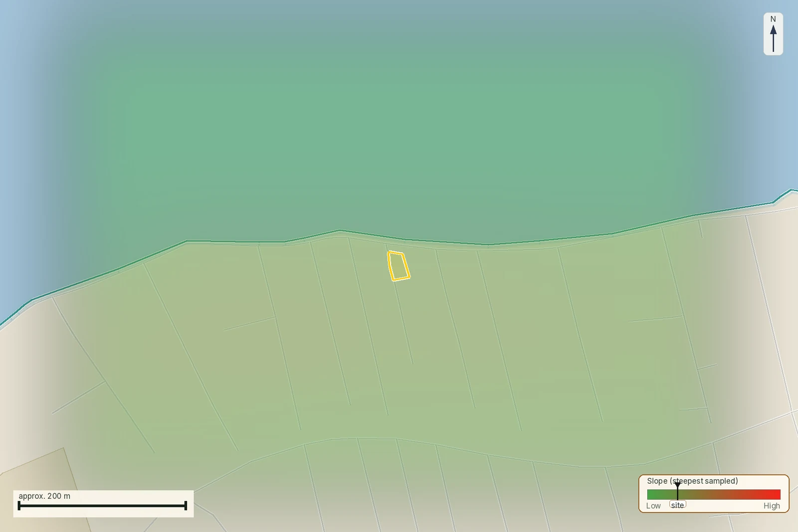
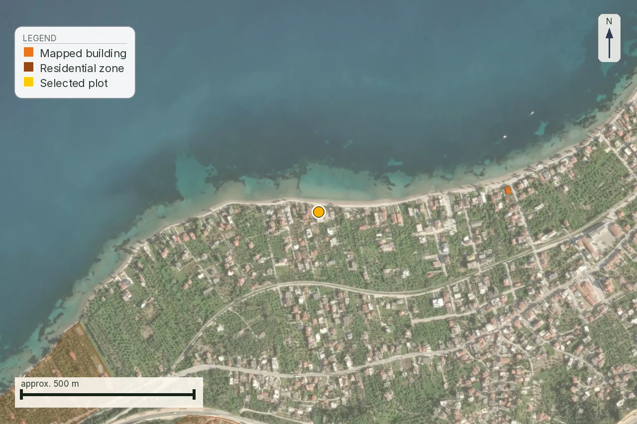
This report follows a small coastal parcel in Νέα Προποντίδα, Halkidiki, KAEK 490450120002: 601 m² at an elevation of 3.0 m. The public launch report reads it inside a ΖΔΥΚΠ, the Zone of Potentially High Flood Risk, while the nearest modelled flood corridor sits about 12–16 metres away. That is a useful result: it leaves the parcel-level question open. It is two public observations at two scales.
For the next file, compare this page with the stream-boundary guide and the buyer’s purchase checklist. The parcel needs both because the flood layer and the stream act answer different parts of the same proposed build.
The distinction matters because the first map is drawn around a catchment and the second around a modelled water extent. This low coastal parcel, close to the line, shows why a broad designation should lead to a parcel-scale question before any money moves.
The correction that starts this page
Greek flood maps do not rest on a law called “ν. …/2010”. The instrument identified in the research is ΚΥΑ Η.Π. 31822/1542/Ε103/2010, ΦΕΚ Β΄ 1108/21.7.2010, which transposes Directive 2007/60/ΕΚ. It was amended by ΚΥΑ 177772/924/2017, ΦΕΚ Β΄ 2140/22.6.2017. A buyer who has been told that the flood maps come from “Law 2010” has been given the wrong type of legal reference. The maps and management plans are ministerial acts under the joint ministerial decision.
That correction is practical. A citation should let a lawyer, engineer or public service locate the instrument. Calling it a law hides the route by which the plan was made and makes it harder to ask which act, district and scenario govern the parcel.
ΖΔΥΚΠ means a study area separate from the parcel’s boundary
Article 4 paragraph 5 of the 2010 ΚΥΑ describes the Ζώνη Δυνητικά Υψηλού Κινδύνου Πλημμύρας as an area identified through the preliminary flood-risk assessment where significant risk exists or can reasonably be foreseen. The designation is made by water district and at catchment scale. It identifies an area for flood-risk planning; it does not trace the title boundary of one parcel.
The parcel is inside the named Ν. Μουδανιά stream basins designation. That tells the buyer the wider drainage setting has been selected for study. It does not tell the buyer that water reaches the house footprint, what depth it reaches, or whether the visible corridor beside the parcel is the same modelled object. Those are separate questions.
The second-cycle plans cover all fourteen Greek water districts. The relevant nearby districts in this corpus are EL08 Θεσσαλίας, EL10 Κεντρικής Μακεδονίας and EL14 Νήσων Αιγαίου. The first revision was gazetted between 24 April and 5 June 2025; EL10 is listed as ΦΕΚ Β΄ 2480/21.05.2025. The third cycle is open on the public site, which is another reason to keep the edition and date of a map in the report.
The other object is the water that a model puts on the ground
A hazard map is different from a ΖΔΥΚΠ. Article 5 paragraph 4 says the hazard maps show the inundation extent, water depth or level and, where relevant, flow velocity for the scenario being modelled. A risk map is different again: article 5 paragraph 5 concerns consequences, including indicative inhabitants affected, economic activity, Seveso installations that could cause accidental pollution and protected areas.
The parcel's report measurement is therefore best read in layers. “Inside ΖΔΥΚΠ” describes the study area. “About 12–16 m from the flood corridor” describes the relation to a modelled polygon. Each observation answers its own map question. The distance runs from parcel geometry to polygon edge; a proposed foundation needs a verified flood line on the ground.
The harvested flood-hazard layer in the research snapshot contains 35,174 polygons and represents the modelled maximum, the low-probability or extreme envelope. Its attributes do not carry a return-period field. The data held by the report engine cannot honestly label this edge T = 50 or T = 1000. That missing field is part of the finding.
What T = 50, T = 100 and T = 1000 actually say
Article 5 paragraph 3 requires three scenario families: low-probability or extreme events, medium-probability events with a possible return period of at least 100 years, and high-probability events where applicable. In the second-cycle implementation used in the research, these are expressed as T = 1000, T = 100 and T = 50 years.
The phrase “100-year flood” is where the ordinary-language mistake begins. T = 100 does not mean that a flood arrives once and then waits a century. It means an annual exceedance probability of about 1%. A later year starts with its own probability. Two T = 100 events in consecutive years do not break the definition.
For a thirty-year mortgage, the chance of at least one event at roughly 1% per year is about 26%, assuming the simple independent-year interpretation used to explain the number. That is neither a prediction for the parcel nor an insurance quote; it simply stops the return-period label being read as a timetable.
A national model cannot answer a foundation question by itself
Keep three things separate when you read the report. The first is extent: whether a modelled polygon reaches the parcel. The second is scenario: which return-period run produced that polygon. The third is consequence at the intended use: depth, level, velocity, drainage, finished floor and the location of the proposed building. The public layer may answer the first, sometimes the second, and does not replace the third.
The report can say that the parcel is at elevation 3.0 m, that it is inside the ΖΔΥΚΠ and that the modelled corridor is close. It cannot say how high water will stand in the proposed house, whether a local culvert changes the flow, or whether a defence will perform during an event. Those answers require the current parcel drawing, the intended footprint and a professional hydraulic reading.
The research also records that the modelled polygon is a low-probability envelope with no return-period attribute. A confident sentence assigning it to T = 100 would be invented precision. The honest result is “scenario unavailable in this harvested layer; obtain the scenario-specific map or engineering file.”
What the flood plan does to a permit, and what is not established
The research found no provision that makes a plot unbuildable purely because it falls inside a mapped flood extent. That is reported as a reading of the material; the result remains unverified as a standalone legal rule. No ΥΠΕΝ circular or ΣτΕ ruling was opened that settles the point in those exact terms. The page must not turn that absence of a found rule into a promise that a permit will issue.
What the research does establish is the indirect connection. Article 6 paragraph 7 of the ΚΥΑ requires environmental terms and operating permits for projects and activities with potential flood risk to be consistent with the approved flood-risk management plan. The management plan binds the authorities in that route; it is not presented as a stand-alone building-permit clause for a private house.
The practical sentence for the parcel is therefore: the flood result is a reason to obtain the parcel-specific hydraulic and planning file, while the buildability answer belongs to that file. Price the uncertainty before the deposit. Do not make a design decision from the colour of a national polygon.
The stream file is where the line can become decisive
Flood maps and watercourses meet through Ν. 4258/2014, ΦΕΚ Α΄ 94/14.4.2014. Article 1 paragraph 1 defines a υδατόρεμα as the natural bed or channel, permanent or intermittent, of flowing water. Artificial irrigation and drainage ditches are excluded. A channel that is dry for most of the year can still be a ρέμα; a ditch on the ground is not automatically one.
Article 2 paragraph 2 requires the delimitation dossier to take the flood hazard maps into account. Article 5 paragraph 3β places the ζώνη υδατορέματος outside town planning. If a delimited stream line or zone affects the intended footprint, that is a different and more direct question than the parcel’s membership of the ΖΔΥΚΠ.
Article 5 paragraph 2 sends the building distance near a stream to article 28 paragraph 1 of Ν. 4067/2012. The same text is carried into article 225 paragraph 1 of Ν. 5306/2026, ΦΕΚ Α΄ 88/8.6.2026, which says that a presidential decree sets the terms and conditions for building near streams. The research found no such decree issued. There is consequently no national metre figure we can print as the ordinary setback from a delimited stream.
The 20 m and 50 m figures that circulate come from article 374 of Ν. 5306/2026 and apply exclusively to the treatment of existing unauthorised structures. They are not the new-building setback. The page keeps that distinction visible because a buyer who hears “50 metres from the stream” may otherwise reject a useful file or, worse, rely on the number as permission.
When the stream is not yet delimited
Where a single project needs a temporary delimitation, article 5 paragraph 2 of Ν. 4258/2014 requires a hydraulic study of the whole upstream catchment, plots the T = 50 flood lines on a topographic diagram and sends the work to the Regional Technical Service for checking. This is a project route with no national price list. The research explicitly did not establish a per-plot cost for that study, so this article gives no invented estimate.
Article 4 paragraph 2 contains a small-catchment exception: a full delimitation is not required below 1.0 km² upstream, or below 0.5 km² inside a settlement or plan. Whether that exception applies to the parcel is not decided by this guide. The engineer must identify the reach, the catchment and the applicable file.
Treat the parcel’s result as a dated finding
On 1 August 2026 the flood measurements behind the public launch sample were recomputed from the two ΥΠΕΝ layers. The parcel returned inside the ΖΔΥΚΠ and near the modelled flood extent, with the parcel record showing a corridor within about 16 m. The same record carries the parcel’s 601 m² area and 3.0 m elevation. That is the dated finding this article can stand behind.
The same date matters for the limitation. The second-cycle designation held in the data is the 2019 designation, while the public site says the first revision of the management plans was completed in 2025 and a third cycle is open. A later map edition may change the evidence. Save the layer name, source date and scenario with the PDF so the next check can show what moved.
The answer a buyer can carry forward
| Layer result | What it establishes | What remains open |
|---|---|---|
| Inside ΖΔΥΚΠ | The parcel lies in a named catchment-scale study area. | The depth, level, scenario and building footprint. |
| Corridor about 12–16 m away | A measured relation to a modelled polygon edge. | The natural channel, approved line and local drainage. |
| No return-period field | The held layer cannot label its edge T50, T100 or T1000. | A scenario-specific source or engineering file. |
That table is the useful translation of the parcel’s result. It gives the seller, engineer and lawyer three different tasks instead of a single colour-coded conclusion.
| Ask | Why it changes the next step |
|---|---|
| Is the map current? | The second-cycle designation and an open third cycle are different points in time. |
| Is the watercourse natural and delimited? | A stream act can control the building line more directly than the broad ΖΔΥΚΠ. |
| Does the file show depth or only extent? | A polygon edge cannot set a finished floor or foundation level. |
For the parcel, a useful report line therefore carries a date beside every answer. The reader should be able to see which fact came from the public layer, which question belongs to the stream archive and which conclusion still belongs to the engineer.
Questions to put in the purchase file
- Which water district and named ΖΔΥΚΠ cover the parcel, and what act or plan edition was read?
- Which scenario reaches the proposed footprint: T = 50, T = 100 or T = 1000?
- Does the source expose depth, level or velocity at the parcel, or only a polygon extent?
- Is there a natural watercourse, and is there a ratified delimitation act with a ΦΕΚ?
- If the reach is undelimited, has a temporary delimitation already been prepared for a nearby project?
- Does the intended house, access and wastewater route use the same parcel boundary in every drawing?
Ask the engineer for written answers tied to the same KAEK and current topographic diagram. Ask the seller for any existing hydraulic or stream file. Ask the competent authority for the operative act when the file refers to a designation without naming its edition. The report can organize the request; it cannot answer for an office it has not queried.
Scope of this page
This is a property preflight, not a hydraulic design, legal opinion, building-permit decision or insurance promise. It describes public flood objects, their dates and their limits. For the parcel, “inside a ΖΔΥΚΠ” and “near a modelled corridor” are findings to carry into an engineer’s parcel-scale review. They are not a statement that the parcel is safe, unsafe, buildable or unbuildable.
What the map does not confirm
The result does not confirm a water depth at the house, a national stream setback, a clean permit route or the absence of a later flood-plan edition. Those are named gaps, and the next professional request should answer each one separately.
Common questions
Is my parcel automatically a flood zone because it is inside a ΖΔΥΚΠ?
No. A ΖΔΥΚΠ is a catchment-scale designation. Compare the parcel with the scenario-specific hazard extent, depth or level, then have an engineer read the intended footprint.
Does T = 100 mean a flood can happen only once in a century?
No. It means about a 1% chance of exceedance in any one year. Two such events close together are possible; the label is probability, not a timetable.
Which flood scenario reaches the house site on this parcel?
The harvested layer behind the dated finding does not expose a return-period attribute. Ask for the scenario-specific source or hydraulic file instead of assigning T = 50, 100 or 1000 from the colour alone.
Can a mapped flood extent alone stop a building permit in Greece?
The research did not establish a provision that makes a plot unbuildable solely for that reason. It did establish links to environmental terms, operating permits and stream delimitation. Treat the result as an open professional question.
What should I request if a stream is shown near the boundary?
Request the operative delimitation act and its Gazette, identify the reach upstream and downstream, and ask the engineer whether the intended building, access and wastewater route cross the approved lines.
Is there one national metre setback from every Greek stream?
The research found no issued presidential decree supplying one national figure under the cited NΟΚ provision. A distance must be traced to the stream act, local decree or applicable planning file.
Does the 12–16 metre corridor measurement prove flooding at the parcel’s house?
No. It is a distance from parcel geometry to a modelled polygon edge. It does not provide a design water depth, finished-floor level, local drainage assessment or event forecast.
What must I save from the flood check before paying a deposit?
Save the parcel boundary, layer name, source date, plan edition, scenario if exposed, named ΖΔΥΚΠ and stream documents. Make any condition refer to those documents and to the engineer’s written answer.
Keep reading
Check this on your own parcel
Pin the plot, confirm the KAEK, and every check in this guide is read against it and written up with its source and date. EUR 39 total · VAT included.