
Pillar: Ground, hazard and utilities
Διαβάστε το άρθρο στα ελληνικά.
Renewable energy projects near Greek property: the 2008 decision, the 2026 draft and a real parcel
On this page
The framework that actually governs a wind or solar project next to Greek land is a 2008 joint ministerial decision; the widely covered 2026 plan is still a draft, short of the gazette. What that decision requires, what its 2026 successor would change if it is ever gazetted, and how both apply to a real island parcel with its own KAEK and forest-map code.
This guide is a preliminary screen for a cost or timing question, not legal, surveying, engineering or tax advice; read the full scope and limits before relying on it.
Πόρος, on Lefkada, is 41,307 m² of hillside running at a mean slope of 28.6%, checked against the Hellenic Cadastre and this page's own forest-map read. A track ten metres from the boundary is not the same thing as road frontage. None of that is unusual for a Greek island plot, and none of it is why we are opening with it here. What is: a buyer looking at this parcel today has probably read news coverage of a new spatial plan for wind and solar, one that would exclude smaller islands, cap ground coverage and set an altitude ceiling for turbines. None of that plan binds anyone yet. It went to public consultation on 20 May 2026, the window closed on 24 June 2026, and it has not been gazetted, so none of its reported figures should be repeated as current. What actually governs where a wind installation can be sited next to a Greek parcel today is a joint ministerial decision from 2008, and most of what gets written about this subject skips straight past it.
Read this alongside the forest-map guide and the restrictions overview: a wind project's siting rules and a plot's own forest-map character turn out to be two different questions, and keeping them apart is most of what this page is for.
The 2008 decision binds today, and the plan in the news still does not
ΚΥΑ 49828/2008, «Έγκριση ειδικού πλαισίου χωροταξικού σχεδιασμού και αειφόρου ανάπτυξης για τις ανανεώσιμες πηγές ενέργειας και της στρατηγικής μελέτης περιβαλλοντικών επιπτώσεων αυτού», ΦΕΚ Β' 2464/3.12.2008, is the national spatial framework for renewable energy that is actually in force. It is a joint ministerial decision, a κοινή υπουργική απόφαση. It is not a law: a seller or an agent who calls it a νόμος is naming something that does not exist, and the distinction matters because a κοινή υπουργική απόφαση can be amended by the same route it was made, which is a large part of why a 2026 draft is able to propose replacing pieces of it without a parliamentary act. The gazette text is published at ypen.gov.gr, and nothing found while preparing this page supersedes it. Whether the 2026 draft below would replace ΚΥΑ 49828/2008 outright, amend specific articles, or run alongside a revised version once one is issued, is not stated anywhere we read, and this page does not guess.
The Παράρτημα ΙΙ distance table, and how we actually read it
Άρθρο 6 παρ. 5α of the 2008 decision requires that, across every zone the decision designates, siting a wind installation must satisfy the minimum distances from neighbouring land uses, activities and technical-infrastructure networks that its own Παράρτημα ΙΙ sets out in tabular form. Παρ. 5β narrows what that distance rule actually governs: it applies to the wind installation itself, while the works that go with it, access roads and connection infrastructure among them, are read against general legislation and any special standards that apply to them. They are not read against the Παράρτημα ΙΙ tables. Everything in this section is about wind installations only; solar siting sits in different articles of the same decision and is not covered here.
We read the gazette text of both paragraphs directly. Παράρτημα ΙΙ itself sits in the same PDF as a scanned image on the pages that carry it, with no extractable text underneath, which is why nobody preparing an earlier version of this page could read it. We rendered those pages at 300 dpi and ran them through Greek-language OCR. An OCR reading is a different exercise from reading the gazette itself, so every figure below carries the confidence our own pass earned it, and a reader whose purchase turns on one exact metre figure should open ΦΕΚ Β' 2464/3.12.2008, pages 17–18, and check it directly; treat every summary, this one included, as a starting point only.
Read that last row twice. A single lawful house standing alone in the countryside does not get a metre figure at all: it gets a decibel limit. A buyer whose plot carries one dwelling, and who assumes the 500 m settlement rule protects them the same way, has misread the instrument; those rows govern villages and organised developments only, and a single house sits outside every one of them.
Two more things the table alone will not tell you. Where a settlement has no delimited boundary, which our own corpus documents as the situation for most of Greece, the distance is measured instead from the settlement's centre plus 500 metres, and must in every case exceed 500 m from the last dwelling, so this footnote governs more often than the main rows do. And a row for World Heritage sites, other major monuments and archaeological Ζώνη Α also exists in the same annex, at distances the OCR pass read with lower confidence for anything past the headline 3,000 m figure for World Heritage; ask an engineer working from the gazette directly for those.
Forest and αναδασωτέα land is not automatically closed to a wind project
Άρθρο 6 παρ. 4 of the same decision says a wind installation may be sited inside δάση, δασικές and αναδασωτέες εκτάσεις, under άρθρα 45 and 58 ν. 998/1979 and άρθρο 13 ν. 1734/1987 as those provisions currently stand, with particular care taken over limiting damage to forest vegetation. Most buyers hear "the neighbouring land is forest" and assume that settles the matter for a wind project the way it would for a house. It does not. A forest character, or even a formal αναδασωτέα declaration after a fire, does not by itself keep a turbine off that ground; it adds a permitting route through the forest legislation instead of ruling the site out. This is the same distinction the forest-map guide makes for building a house on forest land: the character code answers what the land legally is, and a separate body of law, here the renewables framework instead of the building-permit rules, answers what may be sited on land of that character.
Every marker is working toward one decision: the ΑΕΠΟ, and the consultation that precedes it
A project cannot go from a portal marker to a working turbine or panel field without an ΑΕΠΟ, an Απόφαση Έγκρισης Περιβαλλοντικών Όρων, the environmental-terms approval decision. The statute that gets a project there is ν. 4014/2011 (ΦΕΚ Α' 209/21.9.2011), as amended by ν. 4685/2020 (ΦΕΚ Α' 92/7.5.2020). Before that decision issues, the developer's ΜΠΕ, the Μελέτη Περιβαλλοντικών Επιπτώσεων, is published and put out for comment. That step is a different consultation from the spatial-plan consultation covered below: it runs for every individual project, on its own timetable, whether or not the national framework is ever revised.
Άρθρο 3 παρ. 2 περ. β' υποπερ. δδ' sets that timetable exactly. Read from the gazette text: «Συλλογή γνωμοδοτήσεων από τους αρμόδιους δημόσιους φορείς και υπηρεσίες και των απόψεων του κοινού στο πλαίσιο της δημόσιας διαβούλευσης εντός αποκλειστικής προθεσμίας τριάντα (30) εργάσιμων ημερών από την αποστολή και δημοσιοποίηση της ΜΠΕ.» Thirty working days from the dispatch and publication of the ΜΠΕ, and the deadline is exclusive: miss it and the file moves on regardless, because the same provision lets the process proceed past any opinion the administration does not treat as essential. A figure that circulates instead is forty-five working days. That is not what governs this thirty-day window: forty-five is a real, separate deadline of ν. 4608/2019 άρθρο 13 παρ. 1, as replaced by ν. 4635/2019 άρθρο 1 παρ. 3, and it is forty-five calendar days, not working days, for any licence a Στρατηγική Επένδυση needs. The same provision then cuts this specific ΑΕΠΟ consultation deadline down to the thirty working days above, for a strategic investment specifically, which is why the two figures now read close together and get confused for one another.
The completeness check that has to finish before the ΜΠΕ is published runs ten working days from submission, five more where documents were missing, and publication follows within one working day of that check ending. Add the two together and a developer's filing turns into a neighbour's open window in roughly eleven to sixteen working days. That is the honest answer to how much warning a consultation actually gives, and it is short.
The consultation runs on a named register with an address
Applications, ΜΠΕ studies, the opinions collected under the paragraph above, draft ΑΕΠΟ decisions and the correspondence around all of them move through one place: the Ηλεκτρονικό Περιβαλλοντικό Μητρώο (ΗΠΜ). Άρθρο 18 παρ. 6 ν. 4014/2011, added by άρθρο 8 ν. 4685/2020, states it directly: «…διακινούνται αποκλειστικά μέσω του Ηλεκτρονικού Περιβαλλοντικού Μητρώου (ΗΠΜ). Η δημόσια διαβούλευση στις περιπτώσεις όπου απαιτείται, θα διεξάγεται μέσω του ΗΠΜ.» A project's consultation is not something a buyer has to happen to hear about from a neighbour or a headline. It sits on a register with an address, eprm.ypen.gr, open for the same thirty working days the law sets out above.
Bookmark it beside the ΡΑΑΕΥ portals already named on this page: the GeoPortal viewer at geo.rae.gr and the electronic register at licensing.rae.gr. All three answer to a plain visit, and none of them requires waiting for a summary written after the fact.
A «βεβαίωση παραγωγού» is not an ΑΕΠΟ, and the gap between them is the whole point
Ν. 4685/2020 replaced the old Άδεια Παραγωγής with the «βεβαίωση παραγωγού», a certificate of expediency issued electronically by the Φορέας Αδειοδότησης. It is transferable: a holder can pass it to another person on a joint application, and where an existing Άδεια Παραγωγής is transferred it is replaced by a βεβαίωση in the new holder's name (άρθρο 11). Άρθρο 18 provides for the Κανονισμός Βεβαιώσεων, which sets the criteria and the electronic filing procedure.
Read a βεβαίωση παραγωγού on a map for what it actually says: somebody has established that a project on that ground is expedient. Financing, consent and an ΑΕΠΟ sit further down the same line and none of them arrives with the certificate. A buyer who reads a βεβαίωση as though it already were an ΑΕΠΟ is frightened over a project that may never clear the next gate; a buyer who reads an ΑΕΠΟ as though it were only a βεβαίωση underrates a project that already has. Check which of the two a marker actually names before either reaction is the right one.
A draft went to public consultation, and the window has already closed
ΥΠΕΝ put a new Ειδικό Χωροταξικό Πλαίσιο for renewables out for public consultation at ypen.gov.gr/diavouleusi. The window opened on Wednesday 20 May 2026 and closed on 24 June 2026, which by the time this page was checked, 6 August 2026, was already more than a month in the past. That matters for how you read everything a seller or an article tells you about it: it is a draft that finished collecting comments. It is not a plan still open for anyone to weigh in on, and it has not been published as a gazetted decision. Whether ΥΠΕΝ will revise it, gazette it as written, or shelve it was not stated anywhere we read while preparing this page.
The draft's reported figures are not something to quote at a buyer
Press coverage of the draft, read at ecozen.gr on 6 August 2026, describes an altitude ceiling for turbines, an island-size exclusion, wind-potential floors, ground-coverage caps and visual-impact-study distances around protected sites and settlements, because the draft's own text was not available to us to read line by line. None of that is gazetted. The consultation closed on 24 June 2026, the text has not been enacted, and a figure reported in the press today can still change, or disappear entirely, before anything with the force of law is published. This page does not print those numbers for that reason: a wrong number stated with confidence does more damage than an honest gap. If a seller, an agent or a search result quotes you a specific figure from the draft as though it already bound a project, it does not; ask instead for the Παράρτημα ΙΙ table above, which is the rule actually in force today.
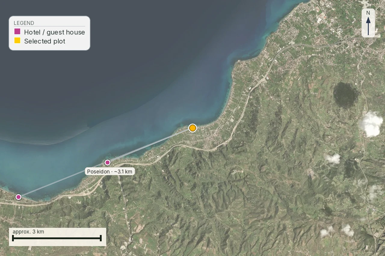
A house near a coastline often sits close to a protected monument or an archaeological zone without anyone having measured it properly, which is exactly why any visual-impact-style distance rule, whether the one already gazetted in the 2008 decision's own annex above or whatever the draft eventually enacts, needs a real coordinate pair on each end instead of a guess from a map.
Whether Πόρος falls inside the draft's small-island exclusion is not a guess we will make
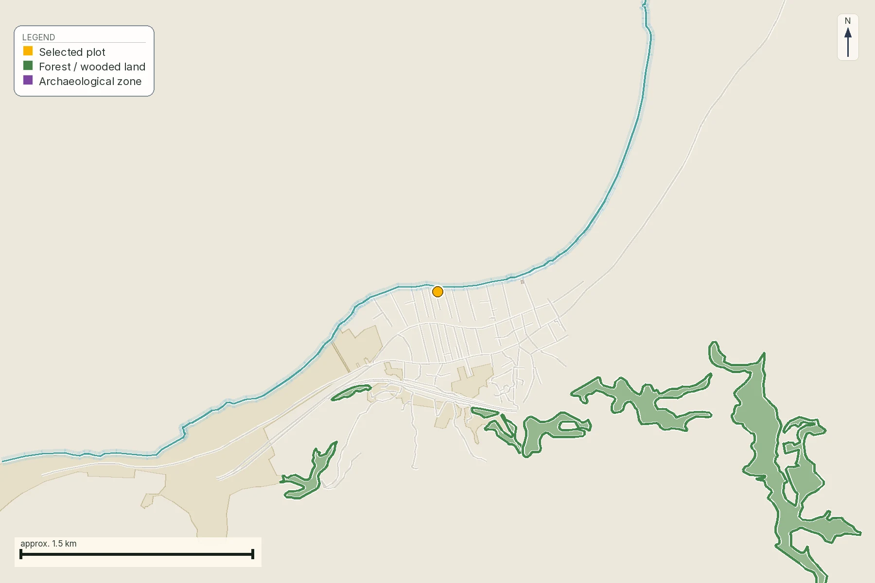
The parcel sits on Lefkada, an island small enough that a size-based exclusion in the draft could matter to it, if the draft is ever gazetted as written. This page does not print the draft's reported size threshold, for the same reason it does not print any of the draft's other reported figures above: the number has not been enacted, and a figure that can still change before enactment is worse to a reader than no figure at all. Check the island's current area against ΕΛΣΤΑΤ or a ΥΠΕΝ figure once the draft is gazetted, and read the threshold from that text itself; treat this page's account, and any other, only as a pointer to where to look. What we can say from our own data is narrower and better documented: a live check of the forest-map viewer on the parcel returned ΑΑ, meaning the 1945 photography and the recent photography both read the ground as something other than forest, so the forest-siting question in the previous section does not apply to the plot itself, only to whatever might be proposed on ground nearby that does carry a forest character. The parcel's own mean slope, 28.6%, is a separate and, for a wind or solar project, arguably more immediate constraint than either framework: access roads, foundation work and cabling all cost more on a slope like that, whoever is building them.
Running the ΡΑΑΕΥ search yourself, on this parcel or any other
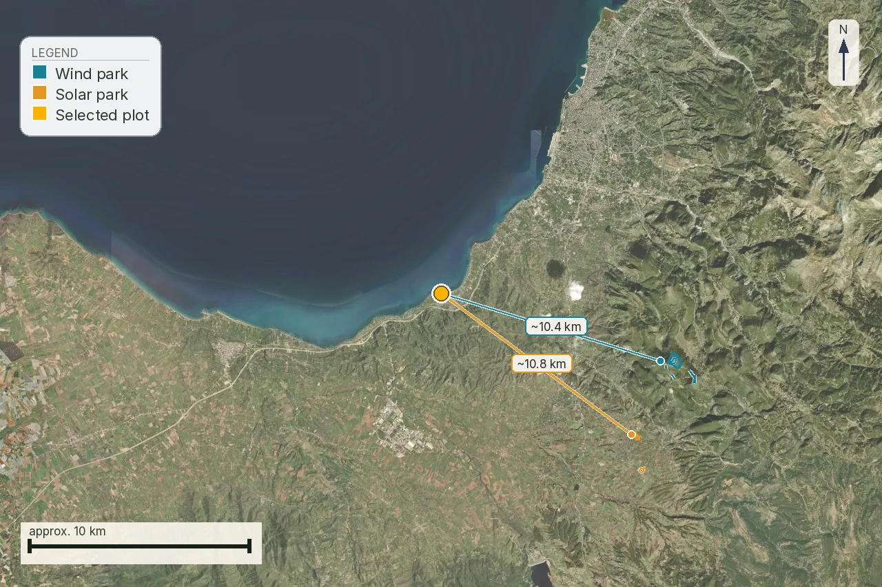
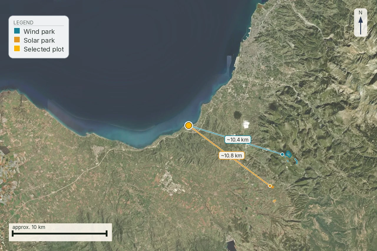
The Regulatory Authority for Waste, Energy and Water, ΡΑΑΕΥ (RAAEY), publishes a GeoPortal at geo.rae.gr that is the first place to look for a renewable-energy project or application near a plot. As of the check date, a search against the parcel's own cadastral coordinates returned no project record in our own data. That is not the same as a certified clean result, and it is not a reason to skip the check: it means the search is yours to run again, today, because a portal record can change between the day this page was written and the day you read it.
- Open the GeoPortal and locate the parcel, by its cadastral parcel code where the portal accepts one or by coordinates otherwise.
- Switch on the renewable-energy project layers and look for any marker inside a sensible radius, including areas beyond the boundary.
- For anything that appears, record the project or application identifier, the technology, the holder, the stage, the operative act if one is named, and the date the record itself carries.
- Save the map view and the date you looked. An undated portal record carries less evidentiary value than one with a date.
- Repeat the same search on ΥΠΕΝ's planning material and on ΔΕΔΔΗΕ's connection pages, because the three publish different pieces of the same chain and none of them alone is the whole file.
Project identity before distance
A distance on its own answers almost nothing. What a buyer actually needs for every result a search returns is the project or application identifier, the technology, the holder, the stage, the operative act, the date that act or record was published, and the polygon or point the record is drawn from. Where the map gives only a generalised point instead of a project's real footprint, the distance you read off it is a discovery signal. It is not a measurement of impact on a specific house.
What the grid-connection record does and does not tell you
ΔΕΔΔΗΕ, the Hellenic Electricity Distribution Network Operator, publishes its own material on renewable-energy connections, including regional capacity information and an archive of pending applications. A connection application, a stated capacity figure and a built line are three different facts, and a seller who says "the connection is already sorted" is usually describing one of the first two. It is not the third. Record the operator, the connection point where one is published, the project's stated capacity, its stage, and whether a dedicated substation or route is named. None of that is a promise that a visible line will be built beside a particular plot; it is a record of where the process for one project currently stands.
An empty layer is not a clean result
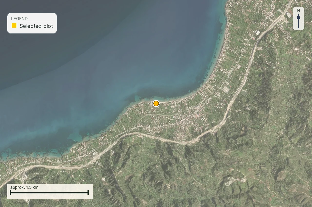
The discipline that matters most across every one of these searches shows up clearest on an unrelated layer. One of our own reports, checking a different plot for a watercourse nearby, got back exactly this label from the service it queried: «No watercourse mapped in this view.» That sentence names what was searched and what was found. It is not the same claim as "there is no watercourse here," and a reader who collapses the two loses the difference between a search that ran and came back empty and a fact that was actually verified. The same care applies to a ΡΑΑΕΥ, ΥΠΕΝ or ΔΕΔΔΗΕ result that comes back with nothing: record it as an absence in that layer, on that date, instead of as a guarantee. Keep three separate gaps in view instead of folding them into one green result: no project identifier found, no operative act found, no final polygon found. Each is answered by asking a different office, and none of the three is proven by the absence of the other two.
Regional infrastructure is a different file from the project itself
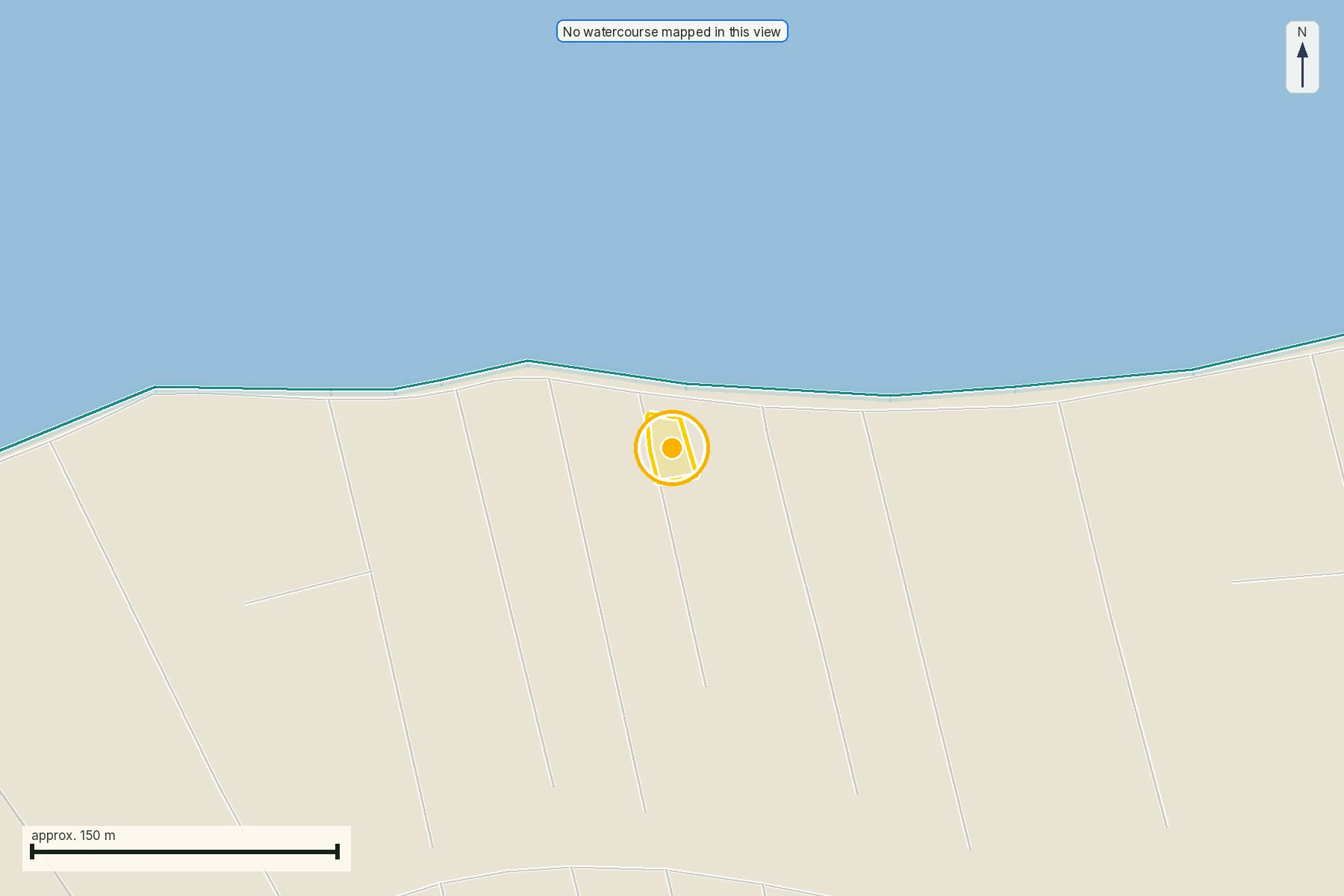
Ferry ports, marinas, airports and other regional infrastructure can matter to a cumulative view of a coastline, and buyers sometimes fold them into "there's a lot going on here" reasoning about a renewables project that has nothing to do with them. They come from a different public register than a wind or solar project file, drawn up for a different purpose by a different authority, and neither confirms nor rules out the other. Treat a busy coastline as a reason to look closely. It is not evidence of a specific project.
Keeping separate projects and corridors apart
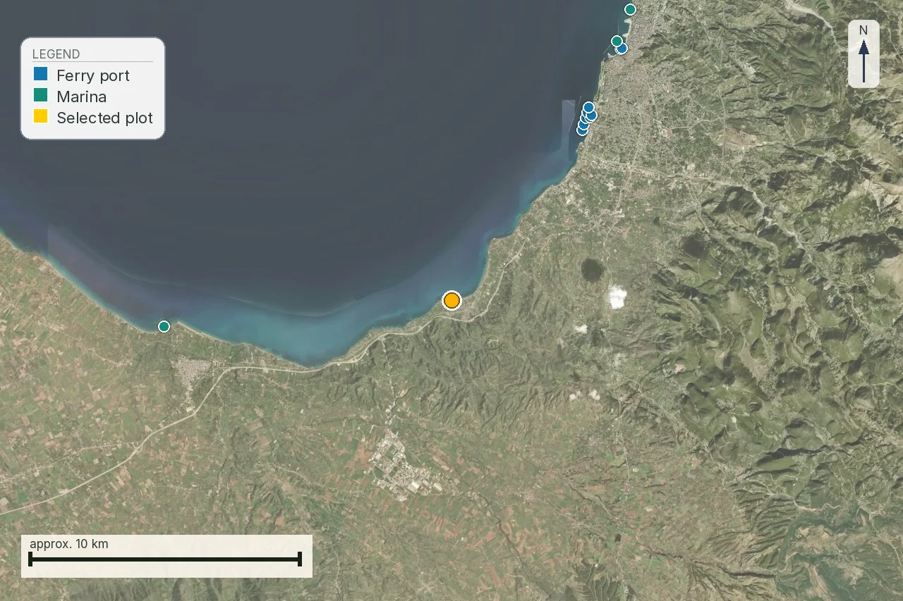
Project identity, above, answers one search result. A busy stretch of coastline raises a second problem: a wind park, a substation, a new transmission line and an access road can belong to different holders, different applications and different decision dates, even where they sit within sight of each other. Compress them into one "renewables nearby" impression and you lose exactly the information that matters: who decides, who builds, and which of the pieces could actually affect the plot you are buying. Keep a short table of your own with a separate identifier and stage for every object you find, instead of one combined verdict.
Who answers which question
An engineer or architect reads sightlines, access and associated works against the survey. An environmental adviser reads terms, Natura boundaries, mitigation measures and monitoring obligations. An electrical engineer reads the connection record and separates existing infrastructure from proposed works. A lawyer checks title, easements, public notices and whatever the ΚΥΑ 49828/2008 forest-siting provision means for a specific act on neighbouring land. No single portal, and no single one of those professionals, answers all of it; send each of them only the part of the file that is theirs, with the same project identifier, map and date attached, so their answers stay comparable.
Gates before a deposit
A buyer gets a clearer decision using the same three gates for every project found near a plot, instead of inventing a new judgement call each time:
Recheck before signing
Every register in this page moves: applications get filed and withdrawn, decisions get issued and appealed, and a draft framework can still be revised, gazetted or shelved after the date this page was checked. Repeat the ΡΑΑΕΥ, ΥΠΕΝ and ΔΕΔΔΗΕ searches immediately before a deposit and again before signing, and note the date and the record you read each time. That does not predict what will happen next; it stops a decision from resting on a search that has quietly gone stale.
What to do while the consultation window stays closed
The consultation window on the 2026 draft ran from 20 May to 24 June 2026, entirely through ΥΠΕΝ's own Greek-language platform, and it was already closed by the time this page was checked. There is no live window to watch today, in any language, so the practical task is not tracking this text but making sure someone is watching for the next one. Ask a Greek-speaking lawyer or planning consultant to monitor ypen.gov.gr/diavouleusi directly, rather than relying on a press summary of a press summary, and to flag whether the draft is revised, gazetted as written or shelved. If a further consultation opens, that same professional can file a comment in it before the window closes again. Put that monitoring into the purchase file now, the same way you would name an engineer or a lawyer for any other open question on this page.
That closed window is not the one to actually watch. The thirty-working-day ΜΠΕ consultation described above runs on the ΗΠΜ for every individual project, opens and closes continually, and has nothing to do with whether the 2026 draft is ever revised. Checking eprm.ypen.gr is the standing task; checking ypen.gov.gr/diavouleusi is the occasional one.
What the map does not confirm about a renewable-energy project
A forest-map code, a portal marker or a measured distance each answers one narrow question, and none of them closes the file by itself. The parcel's own ΑΑ forest-map result says nothing about a project proposed on neighbouring land that does carry a forest character. A ΡΑΑΕΥ marker says a record exists in a dated search, not that construction has started, that it will be built where the marker sits, or that a stated capacity has become an offer. An empty search on any one register says that register returned nothing that day, not that no project exists anywhere nearby. And a press summary of the 2026 draft, however specific its numbers look, is not the gazetted rule that will eventually apply, if it applies at all, and reading it does not turn a stated capacity into an offer. Each of those gaps needs its own document and its own answer, not one green result standing in for all of them. Ask for the current project file, the act that actually controls it, and a technical reading applied to the real geometry of the property, before a marker or a headline decides what the land is worth to you.
Common questions
Is ΚΥΑ 49828/2008 a law?
No. It is a joint ministerial decision, a κοινή υπουργική απόφαση, published as ΦΕΚ Β' 2464/3.12.2008. It is still the operative national spatial framework for renewable energy, but it is not a νόμος, and anyone who calls it one is naming something that does not exist.
Does the 2008 framework set an exact setback distance I can rely on?
It sets the requirement, in άρθρο 6 παρ. 5α, and its own Παράρτημα ΙΙ carries the figures, printed above from a 300 dpi OCR read of the gazette's scanned annex, not from extracted text. Treat the settlement, monastery and traditional-settlement rows as reliable; for the exact figure on a specific deal, open ΦΕΚ Β' 2464/3.12.2008 pages 17-18 yourself or ask ΥΠΕΝ, the regional forest or planning service, or an engineer with a full copy of the annex.
Can a wind farm be built on forest or αναδασωτέα land next to my plot?
It can be sited there under άρθρο 6 παρ. 4, read with άρθρα 45 and 58 ν. 998/1979 and άρθρο 13 ν. 1734/1987, subject to conditions limiting damage to forest vegetation. Forest character alone does not exclude a wind installation the way it excludes a house.
Is the new draft spatial plan already law?
No. It went to public consultation from 20 May to 24 June 2026 and has not been gazetted. Whether it will replace, amend or run alongside ΚΥΑ 49828/2008 was not stated anywhere read for this page.
Where did the draft's reported figures come from, and can I rely on any of them?
From a press summary of the draft, read 6 August 2026, not from the draft's own text read line by line. No, not yet: none of it is gazetted, the consultation closed 24 June 2026, and a reported figure can still change before enactment, so this page does not print the specific numbers. The distances actually in force today are in the Παράρτημα ΙΙ table above.
Does a ΡΑΑΕΥ marker near my plot mean a project will be built?
No. It is a discovery signal in a dated search. Confirm the project or application identifier, the holder, the stage, the operative act and the final geometry before treating it as a fact about construction.
What decision does a renewable-energy project's public consultation actually lead to?
An ΑΕΠΟ, an Απόφαση Έγκρισης Περιβαλλοντικών Όρων. Ν. 4014/2011, as amended by ν. 4685/2020, requires the developer's ΜΠΕ to be published and opinions collected, the public's among them, before that decision issues. That is a separate, per-project process from the 2026 spatial-plan consultation covered above, and it is the one that recurs.
How long does a project's public consultation window run, and where does it happen?
Thirty working days, exclusive, from the dispatch and publication of the ΜΠΕ, under άρθρο 3 παρ. 2 περ. β' υποπερ. δδ' ν. 4014/2011. It runs on the ΗΠΜ, the Ηλεκτρονικό Περιβαλλοντικό Μητρώο, at eprm.ypen.gr. A figure of forty-five working days circulates online; the current gazette text says thirty.
Does a «βεβαίωση παραγωγού» near my plot mean the project is coming?
No. It means the Φορέας Αδειοδότησης has assessed a project on that ground as expedient, under ν. 4685/2020. It is not consent, financing or an ΑΕΠΟ, and any of those can still be years away or never arrive.
What does an empty result on a connection or watercourse layer actually tell me?
That the search you ran returned nothing in that layer, on that date. It is not a certified statement that nothing exists nearby. Treat it as an absence in the record and, where it matters to your decision, ask the authority directly rather than treating silence as proof.
Is Lefkada, where the parcel sits, affected by the draft's small-island exclusion?
Possibly, if the draft is ever gazetted, but this page does not print the draft's reported size threshold, the same way it prints none of the draft's other reported figures: the number has not been enacted. Once the draft is gazetted, check the island's current area against ΕΛΣΤΑΤ or a ΥΠΕΝ figure and read the threshold from that text.
Who do I ask for the actual minimum-distance table in Παράρτημα ΙΙ?
ΥΠΕΝ, the regional forest or planning service, or an engineer or environmental consultant who has read the annex directly. Also ask whether an update is pending, given that the 2026 draft is in circulation even though it is not yet gazetted.
Keep reading
Everything that can stop you building in Greece: the restriction stack
Planning terms and land use in Greece: reading όροι δόμησης and checking them yourself
Natura 2000 and Greek property: a confirmed finding, not a flag
Building on a slope in Greece: read the terrain before the view
The Greek forest map (δασικός χάρτης): codes, αναδασωτέα and how to check a plot yourself
Check this on your own parcel
Pin the plot, confirm the KAEK, and every check in this guide is read against it and written up with its source and date. EUR 39 total · VAT included.