
Διαβάστε το άρθρο στα ελληνικά.
Buying agricultural land in Greece: the checks before you pay
On this page
Agricultural land is a purpose and planning question before it is a lifestyle purchase. A listing can call a field fertile, buildable, accessible or suitable for a home, but those labels may describe different evidence. Greek official material treats high-productivity agricultural land as a protected resource and separately publishes planning, land-use and cadastral information. None of those labels alone grants a house, a private road or a water connection.
This guide is a preliminary screen for a purchase or permit question, not legal, surveying, engineering or tax advice; read the full scope and limits before relying on it.
Pair this file with the buildability and legal-access guides: the Greek buildability guide and the legal road-access guide.
Define what “agricultural land” means
The phrase can describe actual cultivation, a planning land-use designation, a productivity class, an agricultural holding or simply rural land in an advertisement. These are not interchangeable. Write the intended use and the source for each label before comparing price or buildability.
Named check. Γεωργική Γη Υψηλής Παραγωγικότητας (ΓΓΥΠ) and the Ministry of Rural Development's published material.
Ask the agronomist or planning engineer to identify the operative classification and its source. Use the legal label as a question about permitted use, never as a promise of a house.
Do not turn productivity into buildability
High productivity can matter to permitted land use, but it is not the same test as minimum plot qualification or the ability to place a building. Buildability also depends on plan status, area, frontage, creation date, access and restrictions.
Named check. The Ministry of Rural Development's published ΓΓΥΠ material.
Question before money. Put “agricultural classification” and “buildability” in separate columns in the offer checklist. Require separate documents and separate professional answers before paying.
Use e-Poleodomia and the current local act for land use and building terms, then read the survey and title. A productivity decision is one row in the file; it cannot replace the engineer’s buildability statement.
Identify the physical parcel and title chain
Rural sales often involve old descriptions, informal names, crop boundaries and area figures that do not sit neatly on one modern map. The buyer needs one physical parcel, a current survey and a coherent title chain before discussing use.
Named check. The Hellenic Cadastre digital map for the identified parcel.
The Hellenic Cadastre map helps citizens view and print parcel data, but its displayed polygon and a deed’s description still need reconciliation. Area similarity is not proof that the boundaries match.
Ask the surveyor to overlay the deed, current survey, cadastral object and visible fences or cultivation. Ask the lawyer to explain any gap before a deposit becomes hard to unwind.
Check plan status and local land use
Rural appearance does not tell you whether land is in-plan, within a settlement, out-of-plan or covered by a special local regime. The operative planning document and its map matter more than the estate agent’s category.
Named check. YPEN e-Poleodomia for the operative use and act.
Ask the planning engineer to name the plan, Gazette, zone and map sheet. If the intended use is housing, storage or tourism, ask for that use specifically instead of a general “rural” answer.
Test road frontage and lawful access
A farm track, a gate and a road visible in an orthophoto can all be useful facts without proving lawful frontage. Agricultural operations and a new building may also require different access evidence.
Named check. A current survey and the competent road authority's file.
Question before money. Ask a surveyor and lawyer to answer access separately from buildability. If the route crosses another parcel, identify the right, its registration and whether it supports the intended use.
Compare the survey with the road’s recorded status, width, continuity and any easement or public-use document. Do not use travel time or a satellite track as a legal conclusion.
Ask where water will come from
A cultivated field may have a well, irrigation arrangement, tanker supply or seasonal water access. None should be treated as a guaranteed household connection. Water source, permit, quality, quantity and maintenance are separate questions.
Named check. The Water Directorate of the Decentralized Administration for the water-permit route.
Request the written utility terms or water-use records, the location of the intake and the rights attached to it. A seller’s statement that “water exists” is not evidence of lawful domestic supply.
Ask the engineer and relevant water authority what is permitted for the intended use. Price storage, pumping, treatment and access only after the source and legal route are identified.
Check soil, slope and cultivation obligations
Agricultural value and construction value can pull in opposite directions. Soil, drainage, erosion, slope, retaining works and access for machinery all affect the farm, while a proposed house can trigger a different technical file.
Named check. Agronomist, geotechnical engineer and surveyor: this guide has no single public soil instrument.
Describe the operation you plan: crops, animals, greenhouse, access and storage. Ask whether the proposed building or infrastructure would reduce productive area or require a separate approval.
Review forest, Natura, flood and coast overlays
Agricultural land can carry environmental constraints unrelated to its cultivation label. Forest character, Natura protection, flood exposure, streams and coastal rules each have different authorities, maps and professional follow-up.
Named check. The official forest map, flood maps and coastal acts.
Question before money. Ask the relevant professional to consolidate the overlays on the same survey. If two sources conflict, keep both records and escalate the conflict instead of selecting the more convenient result.
Use each official layer for the question it can answer and cite its date. A clean agricultural classification does not cancel a forest or stream issue, and an environmental map does not settle title or buildability.
Understand farm buildings and the intended project
An agricultural store, greenhouse, residence, tourist facility and renewable installation are not one planning question. The buyer must name the project, its footprint, access, utilities and environmental effects before asking whether it is allowed.
Named check. YPEN e-Poleodomia and the brief for the specific project.
The official planning system can expose terms and uses, but the design team must apply them to the proposed building and parcel. A listing’s “ideal for building” line is not a permit document.
Prepare a one-page project brief before requesting a quote. Ask the engineer to state which use is tested, which parts are conditional and which source controls each conclusion.
Check taxes, price and transaction costs separately
Agricultural land can look cheap because its permitted use, access, water or title work is uncertain. A buyer should not compare a rural asking price with a house price or treat a public valuation tool as a market appraisal.
Named check. No single fee schedule is established here: separate price, tax and professional fees.
Ask the lawyer and accountant which costs are transaction costs and which are project costs. Negotiate only against documented uncertainty, not against an invented “agricultural discount”.
Make the seller disclose the rural file
The seller should be able to identify the property, the title chain, the access, the existing use and any public notice affecting it. A friendly summary is not a substitute for the documents that carry the risk.
Named check. The seller's title, survey, lease and water records.
Question before money. Give the pack to an independent lawyer and surveyor before paying for a design. Any missing item belongs in the missing-data list and, if material, in a written condition.
Request title deeds, current extract, survey, permits for existing structures, water or irrigation evidence, tax information, leases and notices. Compare names, area, boundaries and use across the pack.
Plan for seasonal access and operating reality
A field that is reachable in summer may be difficult after rain, harvest or fire. Agricultural machinery, emergency access, waste, fencing and deliveries can matter more than the shortest route shown online.
Named check. Site visit, survey and road record for the seasonal route.
Use a current site visit, survey and local authority or road record. A route may be physically open but legally contested, privately maintained or unusable for the intended building process.
Ask the surveyor to record the road junction, width, gradients and turning needs. Ask the buyer’s lawyer what right supports the route and whether any maintenance obligation follows the land.
Write the three gates into the offer
Agricultural-land decisions become safer when the buyer defines what would allow the next step, what needs investigation and what pauses payment. The gate must follow evidence, not the seller’s preferred timetable.
Named check. A written offer condition naming the missing document.
Attach the source trail to the buyer memo and ask counsel to draft any condition. Re-open the gate if a new map, act or title record contradicts the earlier reading.
Repeat the checks before signing
Rural planning files, cadastral stages and public datasets are not frozen by an advertisement. A current recheck protects the buyer from relying on an old classification, an expired statement or a changed local act.
Named check. The recheck date and new version of each source.
Question before money. Make rechecking a condition of the transaction timeline. If the new evidence changes intended use or access, stop the deposit decision until counsel explains the effect.
Keep both the old and new source date, the survey version and any changed field. An unexplained change is not a reason to choose the older answer; it is a reason to ask the authority or professional.
Choose professionals for the actual question
No single professional owns the whole agricultural-land risk. The lawyer reads rights and contracts, the surveyor reconciles ground and documents, the engineer tests planning and design, the agronomist reads production, and the authority controls its own record.
Named check. The lawyer, surveyor, engineer and agronomist in their own scopes.
A confident answer outside a professional’s scope is a warning. Ask each adviser to state the document reviewed, the assumption used, the conclusion and the missing work.
Give the same parcel file to the team and preserve the source dates. Conflicting views should be escalated in writing, not averaged into a comfortable answer.
A worked parcel before the general rule
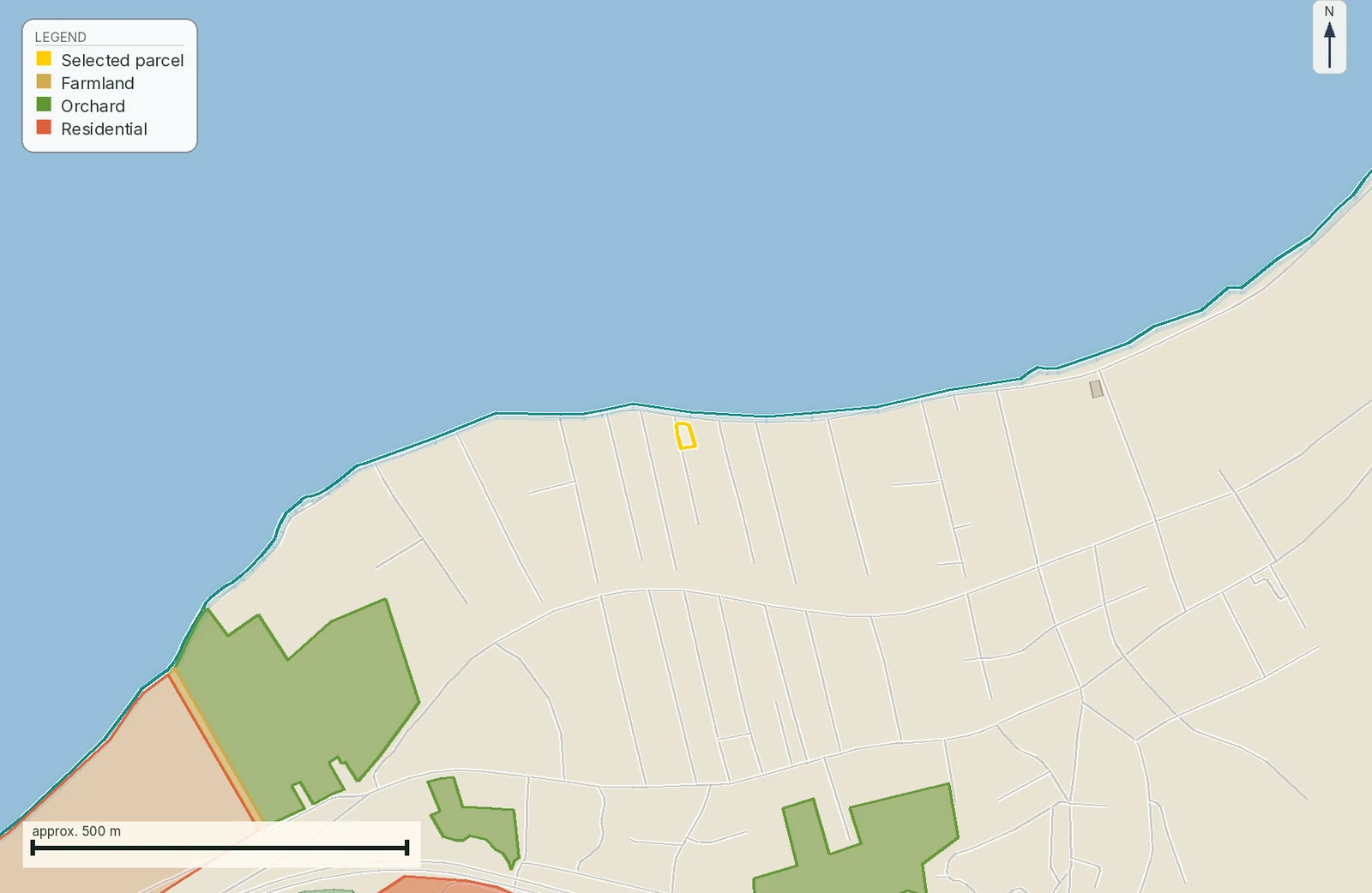
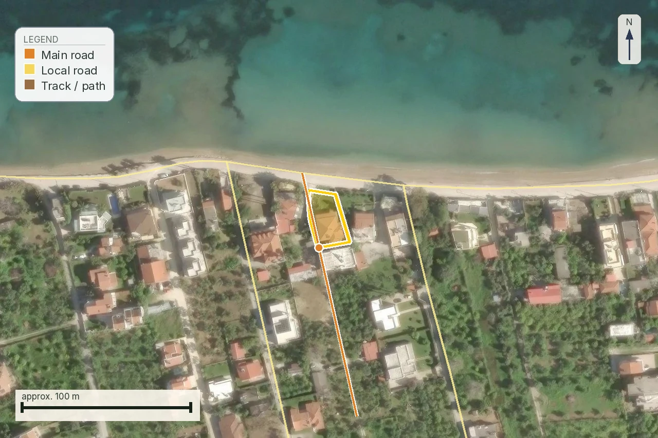
To keep the method concrete, use the agricultural parcel at Terpsithea, Larissa. The published snapshot records 56,923 m² and the nearest road 257 m away, a tertiary road; that distance is a network measurement, not proof of legal frontage. Read intended use, ΓΓΥΠ, title, water and access separately against it.
The file starts with the declared use
The same area may be bought for olives, a greenhouse, storage, a home or a small tourist use. The word "agricultural parcel" does not describe the purpose by itself. Write one sentence saying what you want to do, which part stays cultivated and whether you need a road, water, electricity or an installation. That sentence is the filter through which the engineer reads the rules and the lawyer reads the title.
For cultivation, ask about productivity, irrigation, machinery access, leases and any agricultural obligations. For a structure, request a separate answer on location, permitted use, area, frontage, creation date and building terms. For RES or another installation, add the environmental and energy chain. There is no single agricultural-land certificate that answers all of these questions.
Three layers that must not be collapsed
First is the physical ground: what is cultivated, where the fence sits and whether water collects. Second is the public layer: which use, protection or line appears in an official source and which act controls it. Third is the private right: title, boundaries, easements, leases and access. A positive finding at the first layer does not repair a gap at the third.
Likewise, a cadastral polygon is not a title and a listing is not an operative act. A sound comparison keeps source, date, scale and geometry next to the conclusion. When lines do not match, the result is "needs resolution", not "probably fine".
What to request as one packet
Ask the seller for a current survey, title chain and registrations, available cadastral material, use or protection acts, water records and every existing structure or permit. The packet does not need to be perfect before screening starts; it does need to show which document is missing and who can issue it.
The independent engineer checks geometry, use and feasibility of the proposed design. The lawyer checks ownership, encumbrances, easements and the title match. An agronomist is useful when productivity, irrigation or actual cultivation affect value. Choose the professional for the question, not for the listing headline.
Price comes after the checks
Do not apply an automatic discount because land is called agricultural. It may have farming value but limited residential use, or good access but expensive drainage. Record the cost of the next check, possible technical works and the time until a written answer. Those are documented negotiation points, not a promise that an authority will approve the intended use.
If a listing says "buildable", ask which engineer signed that view, using which survey, act and date. If it says "with water" or "with road", ask for the water right, supply terms, easement title or public-road status respectively. A precise question quickly reduces the time lost to broad reassurance.
Agricultural use can also carry real operating costs: tractor access, fencing, storage, irrigation, fire protection, drainage and road maintenance. These are not all legal barriers, but they are buyer value. A good preflight keeps them beside the official acts without presenting them as certainty or as an engineering study.
A repeatable recheck
Keep a small log: what was checked, from which source, for which geometry, who answered and when confidence in the result expires. Rechecking before signing is not excessive when cadastral status, planning, water or use is in transition. Compare versions and record the change instead of silently replacing the old file.
If an answer is verbal, ask for it in writing or for a precise reference to the act. If a public source is not current, record the gap and the professional who will resolve it. This protects the buyer and keeps the report from turning uncertainty into a false clean result.
For a foreign buyer, translation should not hide the legal term. Keep the Greek act title, Gazette and authority name beside a plain-language explanation. The lawyer can then locate the original while the buyer understands which question remains open. Clear language is part of trust, not decorative summary.
If the intended use changes after the first screen, restart the file. An answer for cultivation does not cover a home, and an answer for a home does not cover storage or an energy installation. A change of purpose is a change of question and should appear in the report and the offer.
The same principle applies to area. If deed, survey and map show different areas, do not choose the largest figure for valuation. Record each measurement, its source and who must explain the difference before money is committed.
The final note should say what is known, what is assumed and what the professional must answer. That three-part distinction keeps the guide useful when you compare two fields or two document files.
A buyer abroad should also ask how the practical process works: which authority holds the file, which language it uses, whether authorisation is needed and which copy is current. The answer should link to the original document, exact location and intended use.
This lets the agricultural purchase be assessed from evidence instead of impression, even when public information is fragmented or old.
Use-to-evidence matrix
Offer gates for agricultural land
Source/date and licence note
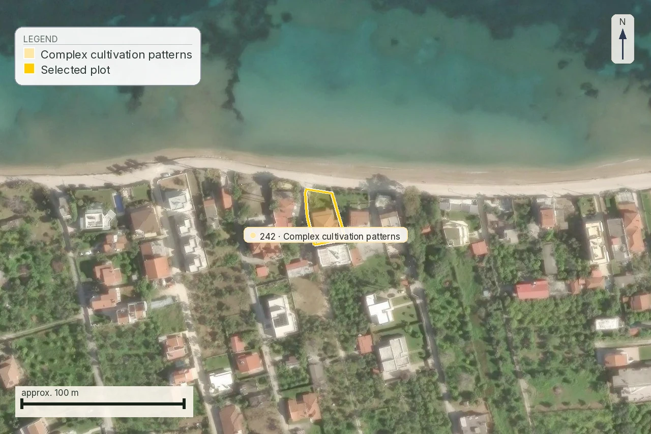
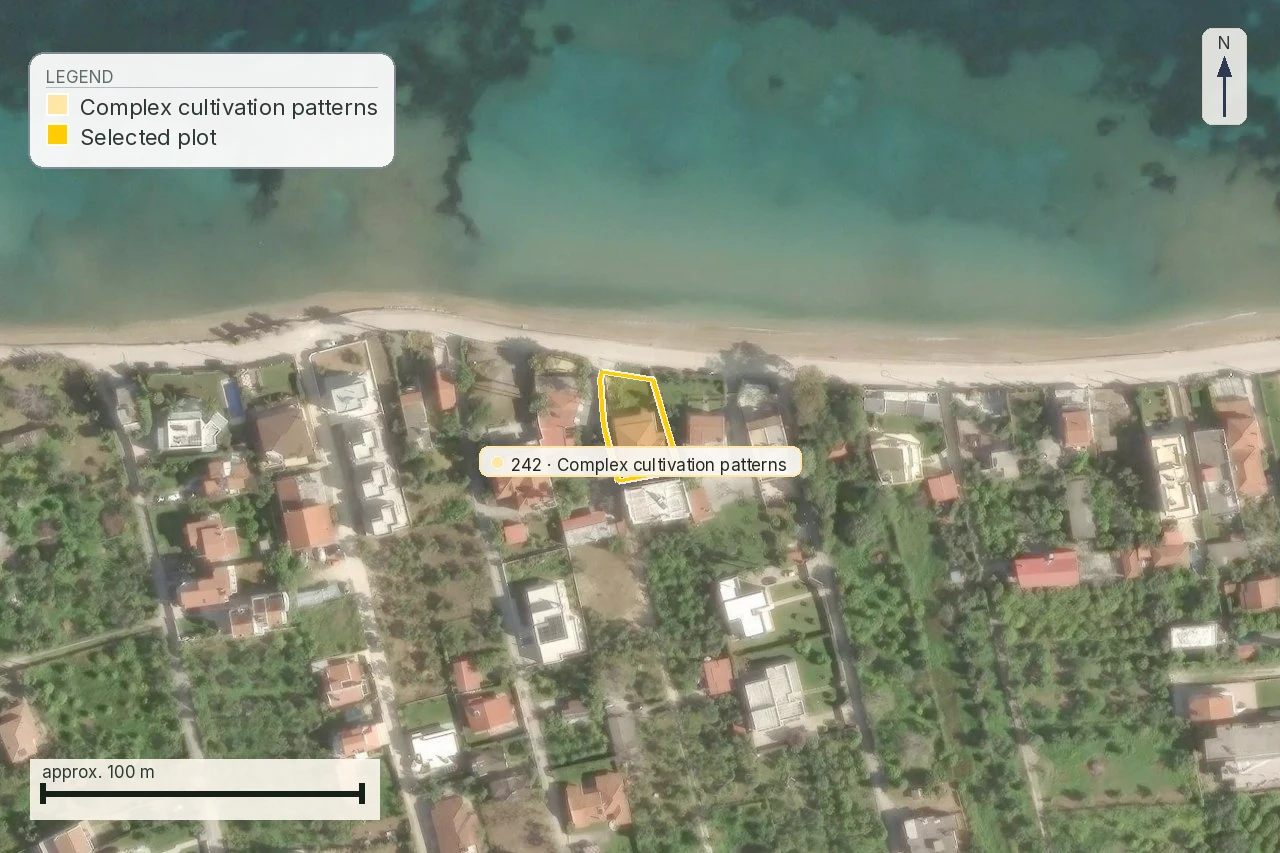
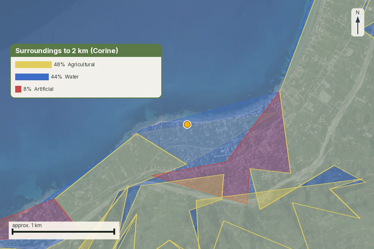
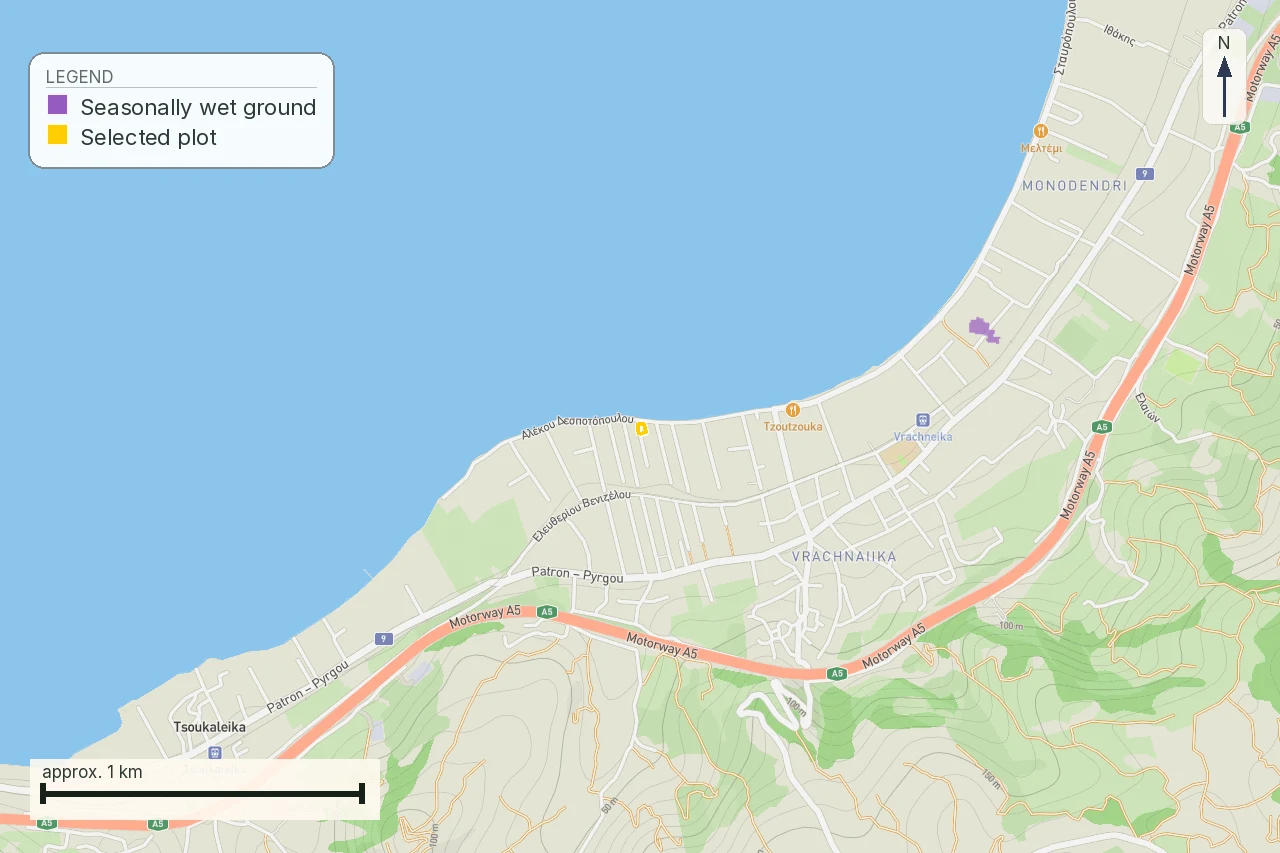
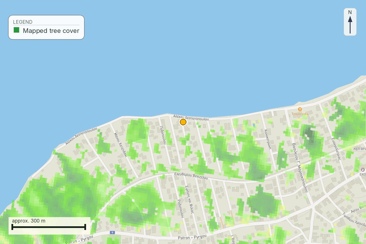
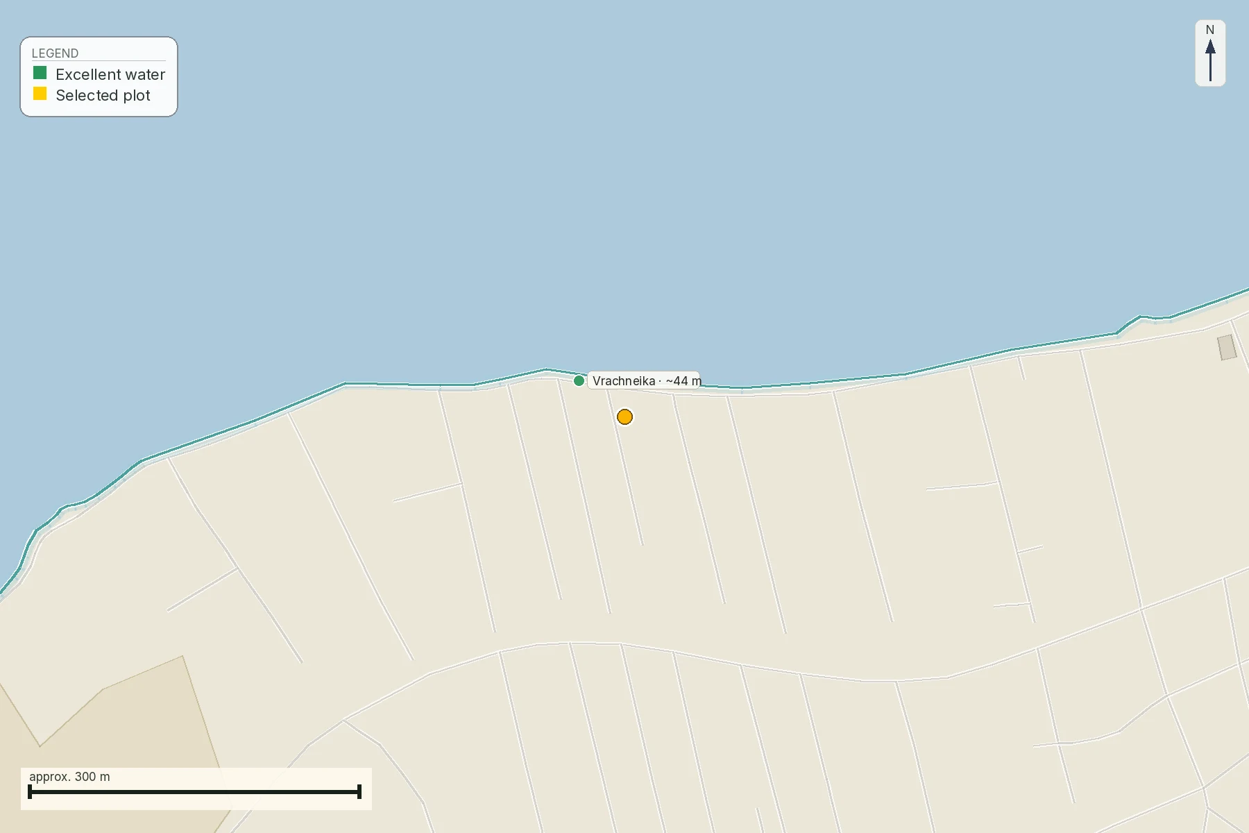
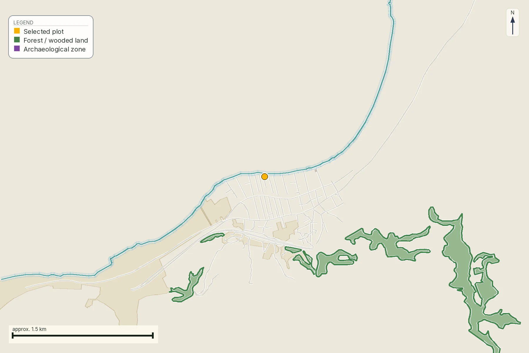
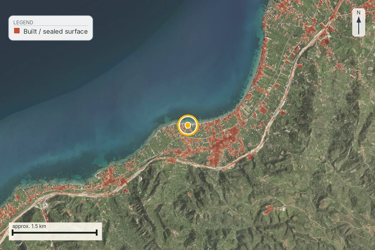
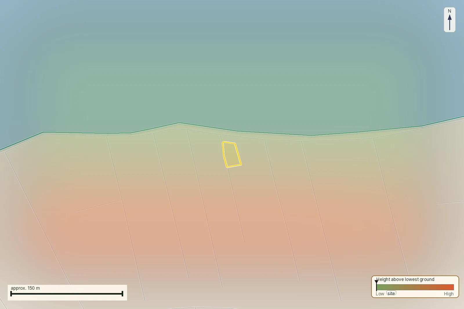
Source/date: this guide was checked on 4 August 2026. MinAgric lists N.5306/2026 (Gazette 88 A/08.06.2026) and its relevant articles; e-Poleodomia and the Cadastre remain separate information layers. The images are anonymised crops from a real snapshot with their legend and meaning retained; provider terms remain recorded in the asset register and are not a grant of underlying-data rights.
What the map does not confirm in an agricultural file
A map does not by itself prove that land is high-productivity agricultural land, that a home is permitted, that a road is legally available or that a borehole supports domestic use. Join each finding to the missing act, survey and professional answer.
The last question before the deposit
Do not ask only whether it is a good field. Ask which use you are buying, which document supports it, who will check it and which fact would stop payment. That turns a rural impression into a testable file instead of a listing promise.
For this purchase, put the intended use, supporting act, water source, access question and next professional task on one review sheet. Land may remain useful for cultivation while a house, borehole or storage building needs different evidence. A clear record lets the buyer compare price, time and checking cost without turning a farming image into a building right.
Common questions
Does agricultural classification mean I can build a house?
No. Classification and buildability are separate questions. Check plan status, area, frontage, creation history, access and current building rules with an engineer.
What does high-productivity agricultural land change?
It can trigger a specific protection and permitted-use file. Obtain the applicable act and do not infer a house right or a ban from the label alone.
Is a farm track legal road frontage?
Not necessarily. A survey image shows physical access; the lawyer and surveyor must establish the road status, frontage and any registered right.
Can a well supply a future home?
A well is not automatic domestic supply. Check its use record, permit, quality, quantity, connection, electricity and rules for the intended use.
Which documents should I request first?
Request the current survey, title chain, cadastral extract where available, planning record, access evidence and records for water or existing structures.
Can e-Poleodomia certify my plot as buildable?
It is a planning information source. The exact parcel and intended project still require the controlling act and professional application.
What does investigate mean in this guide?
It means the question has a named owner, document and date. The purchase remains conditional until that evidence is read.
When should I repeat the agricultural-land check?
Repeat it before deposit and before signing if planning, cadastral stage, water, access or intended use has changed.
Keep reading
What makes a Greek plot buildable: άρτιο, οικοδομήσιμο and the 4,000 m² rule
In-plan vs out-of-plan land in Greece: what you can build
Legal road access in Greece: what πρόσωπο σε κοινόχρηστη οδό means, and how a road becomes public
How to read a τοπογραφικό διάγραμμα: the survey sheet, callout by callout
Check this on your own parcel
Pin the plot, confirm the KAEK, and every check in this guide is read against it and written up with its source and date. EUR 39 total · VAT included.