
Διαβάστε το άρθρο στα ελληνικά.
What makes a Greek plot buildable: άρτιο, οικοδομήσιμο and the 4,000 m² rule
On this page
The two tests every Greek plot has to pass, the derogation tiers for plots under 4,000 m², the 2022 filing cut-off, and the 30 June 2027 date by which the permit application itself has to be lodged.
This guide is a preliminary screen for a purchase or permit question, not legal, surveying, engineering or tax advice; read the full scope and limits before relying on it.
Two Greek words decide whether a plot is worth its asking price, and they are not synonyms. Άρτιο asks whether the plot is big enough. Οικοδομήσιμο asks whether you may actually build on it. A plot can pass the first and fail the second, and the failure is usually discovered after the money has moved.
The first test: is it άρτιο
Άρτιο is a question about geometry against a threshold, and the threshold depends on where the plot sits.
Inside a plan (εντός σχεδίου), the minimum comes from the local statutory plan for that specific area, not from a national rule. It varies street by street in some municipalities. The plan also sets what you may build once the plot qualifies, and both come from the same document.
Inside a settlement boundary (εντός οικισμού), the thresholds drop sharply. This is the category people most often misidentify. For the settlements delimited under the π.δ. of 24.4.1985 (ΦΕΚ Δ΄ 181), the regime covering villages up to 2,000 inhabitants and therefore most of rural Greece, άρθρο 5 does not set one national figure. It sets a range of 300 to 2,000 m² and delegates: «Τα ως άνω εμβαδά οικοπέδων εξειδικεύονται με απόφαση του Νομάρχη, που εκδίδεται μετά από γνώμη του Συμβουλίου Χωροταξίας, Οικισμού και Περιβάλλοντος του Νομού». There is no ladder to look yours up on. There is a range, and one decision that picked a number inside it for your settlement. The νομαρχία that issued those decisions was abolished by Καλλικράτης in 2011, so do not go looking for the office that signed it: the decision still binds, and the ΥΔΟΜ is who tells you its number and its figure.
Two things usually attributed to that 1985 decree are not in it, and the dates matter. The minimum frontage, 10 m up to 500 m² and 15 m above, was inserted by π.δ. of 4.11.2011 (ΑΑΠ 289), and it carries its own carve-out: «Η παρούσα διάταξη δεν εφαρμόζεται σε γήπεδα που έχουν δημιουργηθεί μέχρι την έναρξη ισχύος του παρόντος προεδρικού διατάγματος και στους παραδοσιακούς οικισμούς». If your plot was created before November 2011, or sits in a traditional settlement, the frontage figures do not apply to it. And the exception for plots that already existed on the day of publication sits in άρθρο 5 παρ. 1β, which makes such a plot άρτιο and stops there; what makes it οικοδομήσιμο is a separate provision, άρθρο 6 παρ. 2, under which those plots are buildable «έστω και αν δεν έχουν πρόσωπο σε διαμορφωμένο κοινόχρηστο χώρο». Two articles, two gates, and an old plot in a village can pass both where a field cannot pass either.
So the 300 m² everyone quotes for εντός οικισμού is the floor of a range. Ask the ΥΔΟΜ in writing for the figure fixed for your settlement, and ask whether your plot qualifies under the pre-existing exception. Between 300 and 2,000 m² sits the whole question of whether anything can be built there.
A change is under way here. The question is which half of it has reached you. The π.δ. της 11/15.4.2025 (ΦΕΚ Δ΄ 194/15.4.2025) sets new criteria for delimiting settlements under 2,000 inhabitants, and each settlement will be re-delimited by its own decree. It is a Δ΄-series decree, which carries no serial number, so a source calling it "π.δ. 129/2025" has invented one. Then άρθρο 63 ν. 5215/2025 (ΦΕΚ Α΄ 116/4.7.2025), amending άρθρο 12 παρ. 2 ν. 4759/2020, created two new categories: Ζ.Α.Ο. (Ζώνη Ανάπτυξης Οικισμού) for settlements up to 700 inhabitants, and Π.Ε.Χ. (Περιοχή Ειδικών Χρήσεων) for 701 to 2,000.
None of that reaches a settlement until its own delimitation decree issues. Άρθρο 18 of the 2025 decree keeps the earlier rules running for each settlement until its new π.δ. is published, and that transitional rule is now carried in άρθρο 247 παρ. 3–4 ν. 5306/2026, which says the earlier provisions «εξακολουθούν να ισχύουν» until the delimitation decree for each settlement issues. So on 1 August 2026 the 1985 range and the 2011 frontages still govern almost everywhere. The successor figures live in άρθρο 237 of the same code. Read them before you assume the change is good news: Ζώνη Α at 2,000 m² with 15 m of frontage, dropping to 500 m² and 10 m for small remote settlements, and Ζώνες Β and Β1 in the familiar 300–2,000 m² range with 10 m. The figure inside that range now comes from the settlement's own delimitation decree, where the 1985 regime left it to a prefect. The same article keeps three derogations for plots that already existed: 2,000 m² at 15.4.2025, 300 m² at 13.3.1981 and 150 m² at 25.7.1979, each of them requiring frontage onto an existing κοινόχρηστος χώρος. Ask the ΥΔΟΜ one question in writing: has this settlement been re-delimited, and if so into which zone. The answer moves the boundary line, the minimum area and the frontage together.
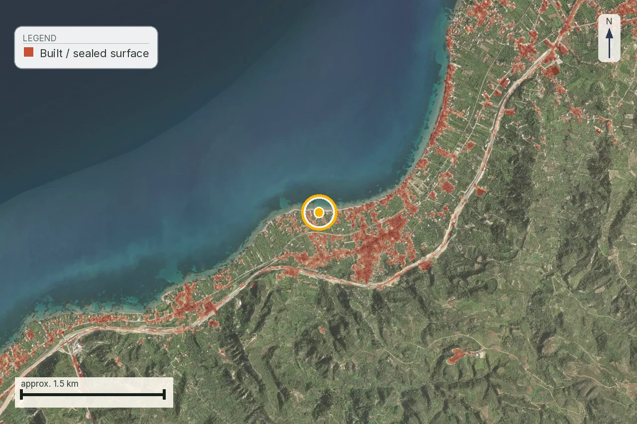
The boundary matters just as much. A settlement boundary is a drawn line with a legal status; being near houses is not the same as being inside it. Our own report draws that boundary because the difference between one side of it and the other is frequently the difference between a building plot and a field.
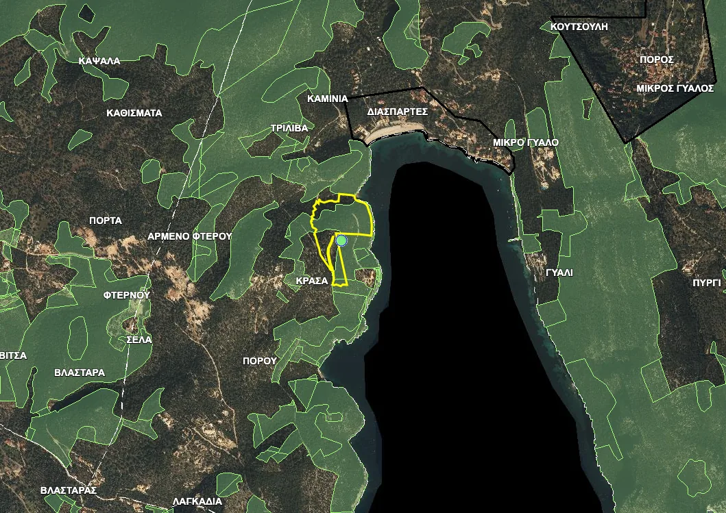
Outside the plan (εκτός σχεδίου), the general minimum is 4,000 m², four στρέμματα. This is the number that dominates Greek land listings, and it is the number the rest of this article is about. Read the provision that sets it, though, because it does not stop at the area. Άρθρο 251 παρ. 1 περ. α΄ ν. 5306/2026 says «Ελάχιστο εμβαδόν γηπέδου τέσσερις χιλιάδες (4.000) τ.μ. και πρόσωπο σε κοινόχρηστο δρόμο είκοσι πέντε (25) μ.» One sentence, two conditions. Four στρέμματα with a twelve-metre frontage does not satisfy it, and neither does four στρέμματα reached across a neighbour's field. The 25 m requirement is lifted for the farm and water buildings of άρθρα 252 and 253 where these are served by an αγροτικός or δασικός δρόμος, and for mountain refuges, which may be reached by a footpath alone. Nothing else is exempt.
The derogations, and the door that has already closed
Plots smaller than 4,000 m² were buildable through a παρέκκλιση, a derogation that rests on how old the plot is as a legal object. Each tier also requires frontage onto a recognised public road.
| Plot legally existed on | Min. frontage | Min. depth | Min. area |
|---|---|---|---|
| 12 November 1962 | 10 m | 15 m | 750 m² |
| 12 September 1964 | 20 m | 35 m | 1,200 m² |
| 17 October 1978 | 25 m | 40 m | 2,000 m² |
| In a city zone since 24 April 1977 | – | – | 2,000 m² |
| General rule, no derogation | – | – | 4,000 m² |
The tiers are reproduced verbatim in άρθρο 273 παρ. 1 ν. 5306/2026 (ΦΕΚ Α΄ 88/8.6.2026), which codified άρθρο 40 ν. 4759/2020 (ΦΕΚ Α΄ 245/9.12.2020). Each date in the left column is the day the decree beside it was published or took effect, and the plot has to have existed as a separate legal plot on that day: β.δ. της 24.10.1962 (Δ΄ 142), β.δ. της 21.7.1964 (Δ΄ 141), π.δ. της 5.4.1977 (Δ΄ 133) and π.δ. της 6/17.10.1978 (Δ΄ 538). Άρθρο 40 ν. 4759/2020 closed the route for the future and left only the transitional window described below. Every tier also requires that the plot had frontage onto an international, national, provincial, municipal or communal road, an abandoned stretch of one or a railway line, as at 9 December 2020, and for the 1978 tier the code narrows that list to national, provincial and municipal roads; separate provisions govern approved subdivisions, αναδασμός and tourist use, the last at 4,000 m². Which date applies to a specific plot is a question about its title chain. Checked against the gazette on 1 August 2026.
Ν. 4759/2020 closed this route for the future and opened a transitional window for owners who had already begun. The condition on that window is the part that matters now, and it is absolute: an application for προέγκριση οικοδομικής άδειας, or for the written ΥΔΟΜ βεβαίωση όρων δόμησης under άρθρο 324 παρ. 2 περ. β΄ ν. 5306/2026 (until 8 June 2026, άρθρο 38 παρ. 2 ν. 4495/2017), had to be filed by 9 December 2022, two years after the law took effect. Nobody can join that queue today. Note that this and the 2027 date are two different filings: 9 December 2022 was the gate for entering the transitional regime at all, and 30 June 2027 is the date by which the application that regime allows must be lodged.
One wrinkle in that second date is worth five minutes of an engineer's time. Άρθρο 273 παρ. 1 lists the two ways in, then attaches the 30 June condition with the words «αν στην τελευταία περίπτωση η αίτηση για έκδοση οικοδομικής άδειας ή προέγκρισης υποβληθεί μέχρι και την 30ή Ιουνίου». Read literally, the deadline binds the file that began with a βεβαίωση and not the file that began with a προέγκριση request. Practice and the commentary read it as governing both. We are not going to tell a buyer to rely on the narrower reading; we are telling you to ask which route your file took and to have the engineer say in writing which date they are working to.
What the current deadline requires is the detail listings get wrong. Άρθρο 273 παρ. 1 of the planning code sets 30 June 2027 as the date by which the application for the οικοδομική άδεια or the προέγκριση must be submitted. The word it uses is «υποβληθεί», and it says nothing about when the ΥΔΟΜ has to issue anything. Παρ. 2 of the same article separately extends the validity of προεγκρίσεις already granted to that same date. The practical difference is large: a file already in and moving is not racing the service's own processing queue, while a file not yet lodged is racing a hard date.
Where the date comes from. The provision now lives in άρθρο 273 ν. 5306/2026, the «Κώδικας Χωροταξίας – Πολεοδομίας "Νικόλαος Ταγαράς"» at ΦΕΚ Α΄ 88/8.6.2026, which codified άρθρο 40 ν. 4759/2020. The move from 30 June 2026 to 30 June 2027 was made by άρθρο 133 ν. 5317/2026 (ΦΕΚ Α΄ 108/10.7.2026). Read those two dates together: the extending law was published ten days after the date it extends. We cannot tell you from the text alone whether the provision was simply revived, or whether a file lodged in that first fortnight of July was ever at risk. That is one for your engineer with the gazette open.
Five extensions in four years is a pattern, and the honest reading of it is that we cannot tell you which way it breaks. Nothing published says another one is coming, and nothing says it is not. If you are relying on a live file, you are relying on the next extension arriving in time, or on your engineer finishing before the current one expires. Ask the engineer which of those two they are counting on, and have them confirm from the gazette the wording in force on the day you rely on it. A published article, this one included, is a starting point and nothing more. Get the answer in writing before the deposit.
So when a 1,200 m² out-of-plan plot is advertised as buildable, it is making one of two very different claims:
- "There is a live file." Someone applied before the 2022 cut-off and the application is still running. That is real, transferable value with a hard expiry date. Ask for the filing receipt, its date and the ΥΔΟΜ protocol number, and have your engineer confirm the file is still alive.
- "It is 1,200 m² and there is a road." Without a pre-2022 filing, the tiers no longer help. The plot was buildable until December 2022 and the asking price has usually not caught up with that.
The other half of άρτιο: how the plot was created
Area is only one part of άρτιο. The plot also has to have come into existence lawfully, and this is where plots that pass every map check still die at the ΥΔΟΜ.
The rule at work is κατάτμηση: land cannot be divided into parcels that fall below the minimum in force on the day of the division. Which minimum that was depends on the year, so the answer lives in the deeds. Three provisions of the 2026 code enforce the rule, each in a different situation. Inside a plan, άρθρο 280 παρ. 1 forbids outright a transfer that creates a plot short of the minimum frontage or depth, and παρ. 3 makes any such deed «αυτοδικαίως και εξ υπαρχής απολύτως άκυρη», void from the outset rather than voidable. Άρθρο 281 attaches three months to a year of imprisonment and a fine to it, and names the notary who drafts it, the lawyer who attends, the cadastre office that registers it, the engineer who draws the plan and the agent who brokered it. Out of plan the control is άρθρο 283 παρ. 1: the engineer signing the τοπογραφικό must declare whether the property being sold may be built on and, where it is being cut out of something larger, whether the remainder left with the seller still meets the building terms.
The consequence is what matters here. A parcel carved out of a family field in 2004 at 2,000 m², then enlarged to 4,300 m² by buying the strip next to it, can measure over the threshold today and still fail, because a plot that was not lawfully created is not cured by later growing. The defect lives in the title, where no amount of re-surveying reaches it.
The question for your lawyer is therefore not the number on the τοπογραφικό. It is when and how this plot was separated from its parent, and every intermediate deed has to be read for it: a division among heirs, a sale of "half the field", a γονική παροχή. Ask for the chain of titles back past the subdivision, and ask the engineer to state in writing that the plot is άρτιο κατά κατάτμηση as well as by area.
This is the single most common reason a plot that looks clean on every public map is refused a permit. The defect does not show in the listing, on the cadastre application or in our report: it lives in the deeds, and only a title search finds it.
Where the in-plan number actually comes from
Buyers looking inside a plan often expect a national minimum and there is not one. The threshold for an in-plan plot is set by the statutory plan approved for that area, and plans differ by municipality, by district within a municipality, and sometimes by block. Two plots on opposite sides of the same street can sit in different sectors with different minimums and different coefficients.
This is why the in-plan question is answered by a document, and why an agent quoting "the minimum here is 300" is half-remembering a figure from a neighbouring sector. It is also why a plot that fails the minimum by a small margin is not automatically hopeless: plans provide for pre-existing plots (γήπεδα κατά παρέκκλιση εντός σχεδίου) in terms that vary, and only the plan text says whether yours is covered.
The practical route is the same as out of plan. Ask the ΥΔΟΜ for the terms that apply to your plot, in writing, and check which sector the plot actually falls in. The sector a street is usually described as covering can stop short of it.
Plots that straddle a line
Any of these boundaries can run through a parcel rather than around it: the plan boundary, the settlement boundary, a land-use zone, the forest polygon, a stream corridor, an archaeological zone. When that happens the plot is not "mostly in" anything, and what follows depends on which kind of line it is. A plan or settlement boundary splits the parcel into two regimes, and the part you intend to build on is judged under its own: area, frontage and setbacks measured on that part. A forest polygon, a stream corridor or an archaeological zone is treated differently again. The parcel is not divided into two regimes; the restriction takes ground out of where the building may sit.
That distinction costs money, and not in the way most buyers expect. A 3,000 m² plot with 1,800 m² outside the forest polygon is not a 3,000 m² building plot with a hindrance: the house and its setbacks have to fit inside the 1,800, and the shape of that remainder matters as much as its area. Whether the αρτιότητα threshold is then measured on the whole parcel or only on the unrestricted part is a question the ΥΔΟΜ answers in writing for your specific plot, and the answer changes the outcome. What the surveyor gives you is the input to it: what proportion falls where, and exactly where the line runs.
The second gate: frontage onto a recognised road
Every derogation tier depends on frontage, as does out-of-plan building generally. What counts is πρόσωπο onto a κοινόχρηστη οδός, a road that is public in law. A dirt track that everyone has used for forty years is not automatically one. An easement across a neighbour's land gets your car to the plot and does not create frontage.
Frontage has its own article, here, because it is the test that most often stops a plot which passed everything else. The code is clearer than listings about which gate frontage belongs to. Άρθρο 251 παρ. 1 περ. α΄ states the 4,000 m² and the 25 m in one sentence, and each derogation tier in άρθρο 273 παρ. 1 carries its own frontage figure beside its own area: 10 m at the 750 m² tier, 20 m at 1,200 m², 25 m at 2,000 m². Frontage is stated wherever the area threshold is stated. Whether a given professional then files it under αρτιότητα or under οικοδομησιμότητα is a habit of speech, and the consequence is the same either way: a plot without it does not get a permit, whatever its size.
Be careful about what can and cannot cure it. The Plenary of the Council of State held in ΣτΕ Ολομ. 176/2023, a case from Patmos, that an out-of-plan plot is buildable only where it has, among other things, «πρόσωπο σε κοινόχρηστο χώρο (δρόμο) νομίμως υφιστάμενο, και μη προκύψαντα από ιδιωτική βούληση»: frontage onto a public space, a road, that lawfully exists and was not produced by private will. We quote the court's own published summary, not the decision itself; what that means for how far the holding can be trusted is worked through in the road access article. On this holding, an act of παραχώρηση by a neighbour or a new track opened for the purpose does not make a road that gives πρόσωπο, however solid it looks: owners who could manufacture their own access would spread settlement outside any plan.
Two things in the same decision are worth more to a buyer than the wording. The frontage requirement dates from the out-of-plan decree of 1985; ν. 3212/2003 only added a minimum length to it. So a seller arguing that their plot predates 2003 and escapes the rule is wrong, and this is the decision that says so. The court also rejected the legitimate-expectations argument, which closes off "but I bought it in good faith" as a way of saving a plot with no frontage.
What about a road the municipality says is already public? The law that classifies roads, άρθρο 4 ν. 3155/1955 (ΦΕΚ Α΄ 63/14.3.1955), defines a municipal road by what it serves: «αι οδοί αι εξυπηρετούσαι τας πάσης φύσεως ανάγκας ενός Δήμου ή μιας Κοινότητος εντός των διοικητικών ορίων αυτού». It does not make a council resolution the act that creates one. The route practitioners point to for a rural road is recognition as κύριος ή μοναδικός linking settlements, or proof that the road existed before 16 April 1924. A council minute on its own is not on that list. We could not open a Council of State decision squarely on a municipal recognition, so we are not going to tell you it is worthless either: put it to the lawyer as a question, with the council's own resolution attached and whatever act classifies the road. The framework meant to settle this has not been issued: a π.δ. from the ΥΠΕΝ, setting technical and legal specifications for the public character of out-of-plan roads.
What the plan then lets you build
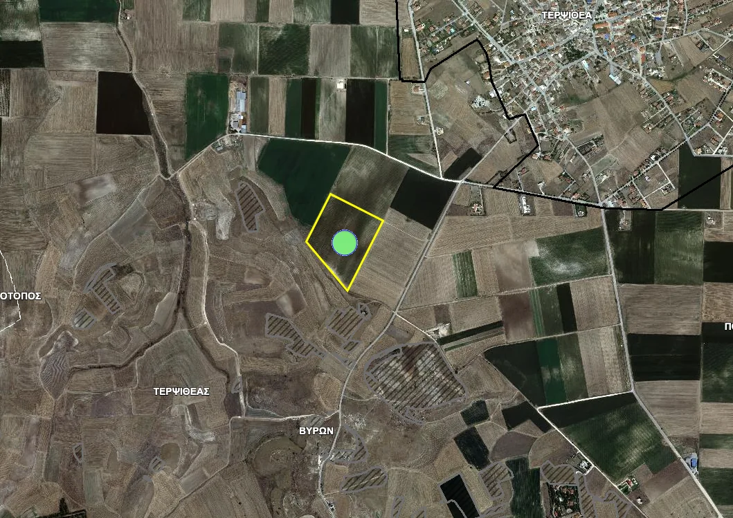
Passing both tests earns you a plot. What you may put on it comes from the όροι δόμησης, the building terms, and three numbers do most of the work.
- Κάλυψη: coverage. The share of the plot the building footprint may occupy.
- Συντελεστής δόμησης (Σ.Δ.): the floor-area ratio. Multiply it by the plot area to get total permitted floor area across all storeys.
- Μέγιστο ύψος: maximum height, which in practice caps the number of storeys.
That multiplication is how it works inside an approved plan. A 500 m² οικόπεδο in a city block with Σ.Δ. 0.8 and coverage 60% carries 400 m² of floor area over a footprint of at most 300 m², and the ΥΔΟΜ will confirm both numbers for the specific block.
Out of plan the arithmetic does not work like that, and assuming it does is one of the more expensive mistakes in this market. A dwelling built out of plan is not sized by multiplying the γήπεδο by a coefficient. It is sized by a tapering formula, now at άρθρο 256 παρ. 1 περ. β΄ ν. 5306/2026, which codified άρθρο 33 παρ. 3 περ. δ΄ ν. 4759/2020 (ΦΕΚ Α΄ 245) as amended by άρθρο 164 ν. 4819/2021: a γήπεδο of 4,000 to 8,000 m² gets 186 m² plus 1.8% of whatever it has above 4,000 m²; above 8,000 m² it gets 258 m² plus 0.9% of the excess; and the result may in no case exceed 360 m². So 4 στρέμματα carry 186 m², 6 στρέμματα carry 222 m², 10 στρέμματα carry 276 m², and it takes about 19.3 στρέμματα to reach the ceiling. At forty στρέμματα the 360 m² ceiling has long since bitten, so ten times the land carries about twice the house. The 2021 amendment is worth a line of its own: the 2020 text read «γήπεδα εμβαδού μεγαλύτερου των 4.000 τ.μ.», so a plot of exactly four στρέμματα fell outside the first band, and since July 2021 it falls inside. Different ceilings and different formulas apply to tourist, agricultural, industrial and public-benefit uses, and to plots inside a ΖΟΕ or a special plan.
A derogation plot uses a lower ladder. Άρθρο 273 παρ. 3 re-states the figures for plots that are άρτια only κατά παρέκκλιση: at 2,000 m² and above, the house may not exceed 186 m²; between 1,200 and 2,000 m² the formula is 136 + (E − 1,200) / 16, so a 1,200 m² plot carries 136 m² and a 1,600 m² plot 161 m². The 750 to 1,200 m² band is not among the figures άρθρο 273 παρ. 3 adjusts, so it keeps the older formula of άρθρο 6 παρ. 2 περ. γ΄ π.δ. της 24.5.1985: 100 + (E − 750) / 9, which is 100 m² at 750 m². Anyone selling you a 1,200 m² derogation plot on the strength of "186 square metres" is quoting the wrong rung.
And the 200 m² that circulates. It has a provision behind it, and the provision is the previous one: άρθρο 6 παρ. 1 περ. β΄ of the π.δ. της 24.5.1985 (ΦΕΚ Δ΄ 270) allowed 200 m² for the first 4,000 m², with 280 m² from 8,000 and a 400 m² ceiling. Those three figures we read on 1 August 2026 in the consolidated text of that article. We did not open the ΦΕΚ Δ΄ 270 sheet itself, so treat them as one remove from the gazette. Άρθρο 33 ν. 4759/2020 cut them to 186, 258 and 360 with effect from 9 December 2020. So a quote of 200 m² is a pre-2020 quote, and it is still the right answer for a file that qualifies for the old terms under άρθρο 273 παρ. 4 ν. 5306/2026, where a προέγκριση was already granted or applied for before that date, among seven other listed situations. Ask which of the two regimes the number is being quoted under, and ask for the document that puts your plot in it.
Take the specific figure for your plot and your intended use off the βεβαίωση όρων δόμησης. Amendments and local regimes move it, and a dwelling is not the same question as a warehouse, so nothing on this page can stand in for that document.
Which document draws the settlement boundary
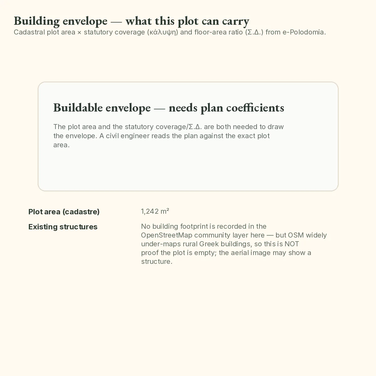
The settlement boundary is not an observation on the ground; it is an administrative act with a number and ΦΕΚ, and that is what you should request. For most settlements, it is the prefect's delimitation decision from the 1980s, published in τεύχος Δ΄, together with any later amendments. Ask the ΥΔΟΜ for its details, and ask the surveyor to plot it on a diagram with ΕΓΣΑ '87 coordinates. A sketch is not enough. Two questions close the issue: which act drew the line, and has a newer delimitation decree been issued for this settlement since the π.δ. of 11/15.4.2025. If one has been issued, the line shown on an old survey is no longer the current one, and the minimum area and frontage change with it. The delimitation decision does not follow where houses were built later: for the line, the ΦΕΚ controls, whatever the village looks like today.
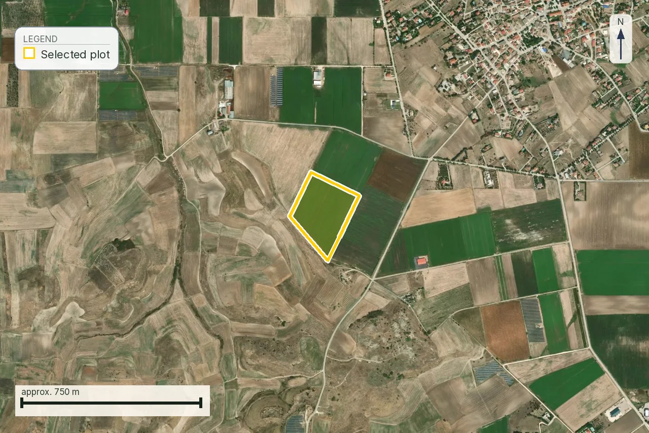
Reading a listing, word by word
Greek land listings use a small vocabulary. Each phrase can hide a different claim:
| The listing says | What to ask |
|---|---|
| "Οικοδομήσιμο" / buildable | On what basis: a βεβαίωση όρων δόμησης, a live pre-2022 file, or the seller's opinion? Ask for the document. |
| "Άρτιο και οικοδομήσιμο" | The right phrase, which is why it is used loosely. Same question: which document says so, and what is its date. |
| "Με άδεια" / with permit | Issued when, and is it still valid? Permits expire and lapse. Ask for the permit number and the issuing ΥΔΟΜ. |
| "Πρόσωπο σε δρόμο" | Which road, how many metres of it, and is it κοινόχρηστη? Out of plan the general rule wants 25 m of frontage under άρθρο 251 παρ. 1 περ. α΄ ν. 5306/2026. Ask for the classification in writing from the ΥΔΟΜ or the municipality, and treat that as where your lawyer starts. Whether a municipal decision recognising an existing road settles the point is the open question in the section on ΣτΕ Ολομ. 176/2023. |
| "Εντός οικισμού" | Show the boundary line on a topographic diagram. Near the village is not inside it. |
| "Δυνατότητα δόμησης 200 τ.μ." | In plan, ask for the coefficient and the area and check the multiplication. Out of plan there is no multiplication, and 200 m² is the pre-2020 figure: since 9 December 2020 the formula starts at 186 m² and is now at άρθρο 256 παρ. 1 περ. β΄ ν. 5306/2026. Ask whether the plot is on the old terms under άρθρο 273 παρ. 4, and ask for the βεβαίωση όρων δόμησης. |
| "Αγροτεμάχιο" | An accurate word for farmland, and it is not claiming buildability. Treat it as a plot still to be checked. |
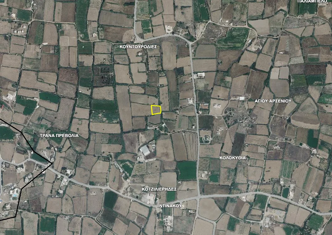
Where this goes wrong most often
- Answering only the first test. The plot is 4,500 m², so it must be fine. Then the forest map returns ΔΔ, or the stream setback takes a third of it, or the frontage is a track.
- Buying the derogation story without the paperwork. "It qualifies under the 1,200 rule" is a claim about 2022, not about today, and the receipt either exists or it does not.
- Treating the settlement boundary as approximate. It is a line, and plots straddle it.
- Taking coefficients from the survey sheet. They were current when it was drawn.
- Leaving the βεβαίωση until after the deposit. By then the negotiating position is gone, and an αρραβώνας comes back only on the terms the agreement itself sets.
How we reach a verdict, and where we stop
Our report runs the geometric pre-check and the restriction stack: plot area against the threshold for its category, frontage against the road network, then forest character, coastal setback, streams, archaeology, protected areas and land use, each against its own official source with the date it was read. The output is a reasoned position and the evidence behind it.
What it is not is a βεβαίωση. We say so on the page, because the distinction is the honest part of this business: a report tells you which questions have alarming answers before you spend money on professionals. It does not replace the professional whose signature the ΥΔΟΜ needs.
The document that settles the planning terms
One document settles the planning terms, and it is the written βεβαίωση όρων δόμησης from the ΥΔΟΜ, the local planning authority for the municipality. Its home in the statute is άρθρο 324 παρ. 2 περ. β΄ ν. 5306/2026 (until 8 June 2026, άρθρο 38 παρ. 2 ν. 4495/2017), which is not an article about certificates at all but about how a building permit is issued: the βεβαίωση is one of the documents that must go into the file. Two things in that paragraph are useful to a buyer and almost never quoted. The ΥΔΟΜ has ten days from the application to issue it, «εκδίδεται εντός δέκα (10) ημερών από την υποβολή της σχετικής αίτησης», so a month of silence is a fact you can put in a letter. And it has to be accompanied by the designing engineer's υπεύθυνη δήλωση that the terms have not changed since it was issued, which is the statute conceding that these documents go stale.
It states the terms that apply to your specific plot, which is the first test and part of the second, and it checks your τοπογραφικό along the way. What it does not do is clear forest character, the coastal zone, streams or archaeology. Each of those has its own register and its own authority, and the section below names them. A civil or topographic engineer applies for it on your behalf, and in practice you want them to do two things at once: obtain the βεβαίωση, and issue their own buildability opinion covering αρτιότητα and οικοδομησιμότητα together.
What comes back is a short document. Check the sector or zone the plot falls in, the minimum area and frontage for that sector, the coverage percentage, the building coefficient, the maximum height and number of storeys, the permitted uses, and any setbacks or special terms attached to the area. One thing it will not do is confirm your boundaries. That is the τοπογραφικό's job, checked against the cadastre extract, and a βεβαίωση issued on a stale diagram describes a plot that is not quite the one you are buying.
Read the date on it too. Terms change when a plan is revised, and a βεβαίωση describes the position on the day it was issued.
And if what comes back is wrong. A refusal has a named route: a διοικητική προσφυγή to the regional ΠΕ.ΣΥ.ΠΟ.Θ.Α. within thirty exclusive days, under άρθρο 459 παρ. 5–6 ν. 5306/2026, set out with its traps in the validity note below. A βεβαίωση that issues with the wrong sector, the wrong coefficient or the wrong minimum area has no route of its own, and we looked for one: nothing in ν. 5306/2026 deals with correcting a βεβαίωση that is simply mistaken. What is left is the ordinary administrative route, and the order matters. Your engineer applies to the same ΥΔΟΜ that issued it, naming the term that is wrong and the plan provision it contradicts, and asks for the βεβαίωση to be withdrawn and re-issued; that is a fresh application, so the ten-day rule of άρθρο 324 παρ. 2 περ. β΄ runs again on it. If nothing comes back, the general deadline for a service to deal with an application is fifty days under άρθρο 4 παρ. 1 of the Code of Administrative Procedure, ν. 2690/1999 (ΦΕΚ Α΄ 45/9.3.1999), after which the silence is treated as a rejection and becomes something you can act against. Keep the protocol number of everything you file, because every later stage runs off those dates. One practical warning: do not let a disputed βεβαίωση sit quietly in a permit file. It travels with the designing engineer's υπεύθυνη δήλωση that the terms have not changed, and no engineer wants to sign that over figures they have told you are wrong.
The order that saves money
- Check the free sources yourself. The forest map viewer at gis.ktimanet.gr/gis/forestsuspension, the cadastre viewer at gis.ktimanet.gr/gis/ktimaviewer, and the planning portal e-Poleodomia at epoleodomia.gov.gr. An hour, and it eliminates a good share of plots before anyone is paid.
- Run the paid screening if the plot survives that, so you arrive at a professional already knowing what to ask.
- Engage a local engineer for the βεβαίωση and the buildability opinion.
- Engage your own lawyer, independent of the seller, for title and encumbrances.
- Then the deposit.
Steps 3 and 5 get swapped more often than any other pair, and that is where the money goes. Once the deposit is down the price is settled, and whether the money comes back is a question about the document you signed. A sum handed over as an αρραβώνας falls under the Civil Code rules that begin at άρθρο 402 ΑΚ (Αστικός Κώδικας, π.δ. 456/1984, ΦΕΚ Α΄ 164), whose default is that the side at fault for the sale falling through is the side that loses it. How any particular προσύμφωνο is drafted is a question for your lawyer before you sign, and no market average we could give you would answer it. What is not in doubt is the direction of travel: if you want the money back when the βεβαίωση disappoints, that has to be written in as a condition before you hand it over. Whatever it then says, you are reading it from the weaker side of the table.
These are not substitutes:
- The terms box on an old τοπογραφικό. Survey sheets print the building terms current when they were drawn. A 2015 sheet states 2015 terms.
- The neighbour's permit. Issued on their plot, under the terms of its year, possibly under a derogation route that has since closed.
- The agent's confirmation. Nobody signs it, so nobody carries professional liability for it, and nothing about it reaches the ΥΔΟΜ file.
The ΥΔΟΜ has ten days to answer once the file is in. Ask the engineer how long that particular office actually takes, because the offices differ widely and the honest answer sets how long the negotiation can be held open.
Step 2 on that list is where this page ends and our own report begins. It runs the public sources for your ΚΑΕΚ, measures the plot against the threshold for the category it actually falls in, states what the road network and the forest map return with the date each was read, and hands you the questions to put to the ΥΔΟΜ in writing, so the engineer's first hour goes on answering them instead of finding them.
Common questions
Is 4,000 m² always the minimum for building outside the plan?
It is the general rule. Smaller plots were buildable through a παρέκκλιση based on when the plot legally came into existence, at 750, 1,200 or 2,000 m². Ν. 4759/2020 closed that route, leaving only a transitional window for owners who filed before 9 December 2022.
What is the difference between άρτιο and οικοδομήσιμο?
Άρτιο is about dimensions: does the plot meet the figures its category sets for area, frontage and depth. Out of plan those figures are in άρθρο 251 παρ. 1 περ. α΄ ν. 5306/2026, which asks for 4,000 m² and 25 m of frontage onto a public road in the same sentence, and in άρθρο 273 παρ. 1 for the derogation tiers, each with its own pair. Οικοδομήσιμο is about permission: is building actually allowed once forest character, coastal setback, streams, archaeology, land use and the legal recognition of that road have been applied. A plot can be άρτιο and not οικοδομήσιμο.
I am buying a 1,500 m² out-of-plan plot advertised as buildable. Is it?
By the small-plot derogation route, only if someone filed for a pre-approval or a βεβαίωση όρων δόμησης before 9 December 2022 and that file is still running. Ask for the filing receipt with its date and ΥΔΟΜ protocol number. That is not the only door, though: land inside a settlement boundary, inside an approved plan or covered by a special regime is judged on its own thresholds, and an existing permit may carry its own rights. The βεβαίωση όρων δόμησης says which case yours is.
When exactly does the transitional deadline expire?
30 June 2027 as of 1 August 2026, moved from 30 June 2026 by άρθρο 133 ν. 5317/2026 (ΦΕΚ Α΄ 108/10.7.2026) and carried in άρθρο 273 παρ. 1 ν. 5306/2026. What has to happen by then is the lodging of the application for the permit or the pre-approval; the wording is «υποβληθεί». Confirm the date in force with your engineer on the day you rely on it.
Does a dirt track count as road frontage?
Generally no. Frontage means πρόσωπο onto a κοινόχρηστη οδός, a legally recognised public road. Long use does not convert a track, and an easement across a neighbour's land provides access without creating frontage.
How do I work out how big a house I can build?
Inside a plan, multiply the plot area by the συντελεστής δόμησης for total floor area and by the κάλυψη percentage for the ground footprint, with the height limit capping the storeys. Out of plan the arithmetic is different: floor area follows the tapering formula of άρθρο 256 παρ. 1 περ. β΄ ν. 5306/2026 (formerly άρθρο 33 παρ. 3 περ. δ΄ ν. 4759/2020, as amended by άρθρο 164 ν. 4819/2021). That is 186 m² plus 1.8% of the area above 4,000 m², then 258 m² plus 0.9% above 8,000 m², capped at 360 m², regardless of how many στρέμματα you own. A plot that is άρτιο only through a derogation is on the lower ladder of άρθρο 273 παρ. 3: 186 m² from 2,000 m² up, and 136 + (E − 1,200) / 16 between 1,200 and 2,000 m². Take the figure for your plot and your intended use from the ΥΔΟΜ, not from a listing.
Is a plot inside a settlement boundary treated differently?
Usually yes, and by a wide margin: for settlements delimited under the π.δ. of 24.4.1985 (ΦΕΚ Δ΄ 181) the αρτιότητα figure sits somewhere in a 300 to 2,000 m² range, fixed settlement by settlement, against the 4,000 m² out-of-plan minimum. Where a settlement has been re-delimited under the 2025 rules, άρθρο 237 sets Ζώνη Α at 2,000 m² (500 m² for small remote settlements) and Ζώνες Β and Β1 in that same 300–2,000 m² range; none of it reaches the out-of-plan figure. Do not confuse those zones with Ζ.Α.Ο. and Π.Ε.Χ., the two settlement-size categories the 2025 law created under άρθρο 234 for classifying a settlement in the first place, not for setting its αρτιότητα. Ask which regime and which zone your settlement is under before treating εντός οικισμού as a discount. The boundary is a drawn administrative line, so being near houses is not the same as being inside it, and a plot the line crosses carries two regimes at once.
The topographic diagram states the building terms. Is that enough?
No. A survey sheet prints the terms current when it was drawn, so an older sheet states older terms. The binding document is a βεβαίωση όρων δόμησης issued by the ΥΔΟΜ for your plot under άρθρο 324 παρ. 2 περ. β΄ ν. 5306/2026, dated now. The sheet still matters for a different reason: under άρθρο 283 παρ. 1 of the same code the engineer signing it declares whether the property may be built on at all.
My neighbour built on a similar plot. Can I?
Not on that evidence. Their permit was issued for their plot, under the terms of its year, possibly through a derogation route that has since closed, and possibly with a frontage yours does not have. Check your own plot's polygon and your own frontage.
Who issues the binding answer on the planning terms?
The ΥΔΟΜ, through the written βεβαίωση όρων δόμησης of άρθρο 324 παρ. 2 περ. β΄ ν. 5306/2026, applied for by your civil or topographic engineer. The service has ten days from the application to issue it, and it comes with the engineer's declaration that the terms have not changed since. Ask the same engineer for a written buildability opinion covering αρτιότητα and οικοδομησιμότητα, and get both before the deposit.
Keep reading
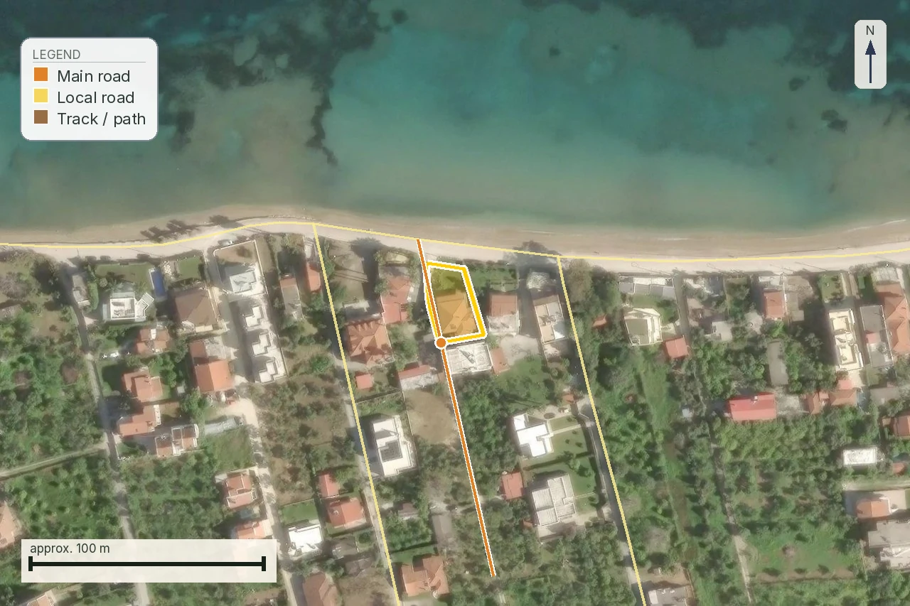
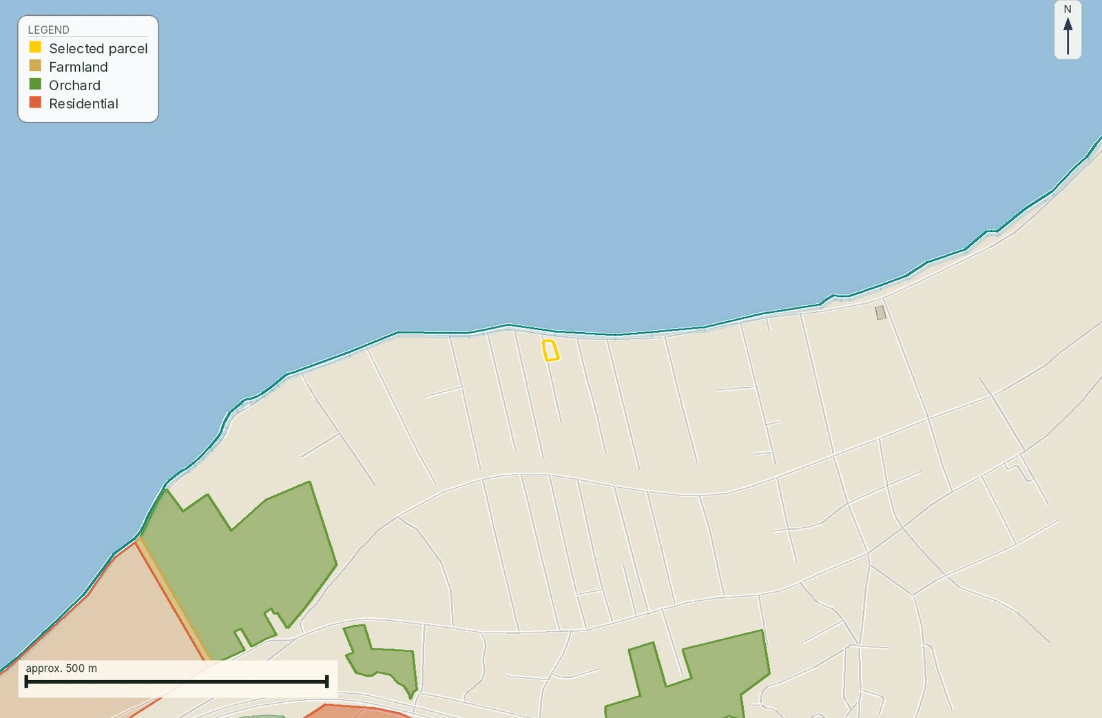
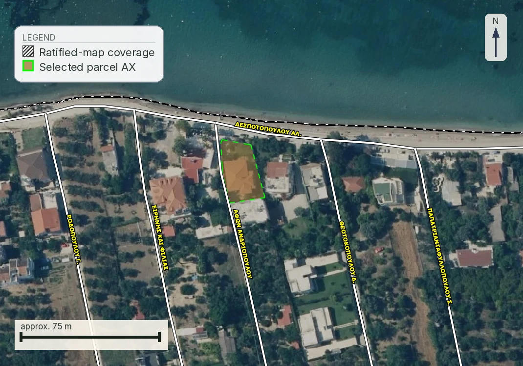
Check this on your own parcel
Pin the plot, confirm the KAEK, and every check in this guide is read against it and written up with its source and date. EUR 39 total · VAT included.