
Διαβάστε το άρθρο στα ελληνικά.
How to read a τοπογραφικό διάγραμμα: the survey sheet, callout by callout
On this page
Twelve things on a Greek survey sheet, eight of them required by law, and what each commits its signer to: εξαρτημένο and the ΕΓΣΑ '87 table, the declarations under άρθρα 283 and 368 ν. 5306/2026, the frontage line, the building-terms box, and what April 2026 changed.
This guide is a preliminary screen for a purchase or permit question, not legal, surveying, engineering or tax advice; read the full scope and limits before relying on it.
On 7 April 2026 Greece stopped demanding a survey sheet in a large class of property transfers. Άρθρο 16 ν. 5293/2026 (ΦΕΚ Α΄ 57/7.4.2026) rewrote παρ. 1 άρθρου 5 ν. 651/1977, and a notary can now close certain sales with no τοπογραφικό διάγραμμα attached at all. Two months later the rule moved house: since 8 June 2026 it sits in άρθρο 283 παρ. 1 of the Κώδικας Χωροταξίας και Πολεοδομίας, ν. 5306/2026 (ΦΕΚ Α΄ 88/8.6.2026). Almost none of the relief reaches a buyer of out-of-plan land. For that buyer the sheet keeps doing the job άρθρο 283 παρ. 1 gives it: it is the document attached to the sale contract that states the side lengths, the boundaries with the neighbours, their names and the area, signed by an engineer who is criminally liable for the declaration he puts on it. The cadastral extract also draws your plot, and it is not the same thing. That polygon was compiled from declarations and aerial photography; the sheet was measured on the ground.
What the sheet is doing
A Greek deed describes land in words. The τοπογραφικό is where those words are turned into measured geometry by a named engineer who carries personal liability for it. That is the whole function: the deed says four στρέμματα bounded to the east by the property of Ιωάννου, and the sheet says which four στρέμματα, in coordinates anyone can re-measure.
Read it in the order the drawing was made. Find the polygon and check that it closes. Find the area and hold it against the deed and the cadastral extract. Find the coordinate table. Only then read the declarations, which is where the legal consequences sit.
Which transfers this actually reaches
Άρθρο 283 παρ. 1 is narrower than the way people quote it, and the narrowness matters to anyone reading a chain of title. It bites on «μεταβίβαση λόγω πώλησης οικοπέδου ή αγροτεμαχίου», transfer by sale of a building plot or a field, with or without buildings. A gift, an inheritance and a γονική παροχή are not sales, so the άρθρο 283 sheet is not owed on any of them. That is why a title chain often carries a survey on one link and nothing at all on the next, and why a seller who inherited the land in 2011 may genuinely never have had one drawn.
Do not read that as a general exemption, because the second obligation is drawn much wider. Άρθρο 368 παρ. 1 of the same code, formerly άρθρο 83 ν. 4495/2017, attaches to every deed inter vivos that transfers or creates a right in rem, land with no building included, and παρ. 4 requires the engineer's certificate to be backed by a survey to current specifications. So a γονική παροχή escapes άρθρο 283 and runs straight into άρθρο 368. An inheritance is not a deed inter vivos at all and escapes both, which is exactly the gap that leaves a family plot with no modern survey on it anywhere in the record. If the plot you are looking at came down that way, the survey you are about to pay for is the first one the parcel has ever had, and it may well be the first time anyone has measured where the boundary runs.
The twelve, and what puts each one on the sheet
Not everything on a survey sheet is there because a statute says so, and the difference decides what you can insist on. Two provisions do most of the work. Άρθρο 283 παρ. 1 ν. 5306/2026 (codifying παρ. 1 άρθρου 5 ν. 651/1977 as άρθρο 16 ν. 5293/2026 left it) lists the drawing's compulsory content and the engineer's declaration. Άρθρο 368 παρ. 4 of the same code (carrying άρθρο 83 παρ. 4 ν. 4495/2017 forward word for word) is what forces the coordinate table. Sheets drawn this month still print the old numbers, because the code is two months old and engineers' title blocks are not.
| # | On the sheet | What puts it there |
|---|---|---|
| 1 | Title block, engineer's name and ΤΕΕ number | Statute, in part: άρθρο 283 παρ. 1 requires the drawing to be signed by the parties and by the engineer who drew it, and παρ. 2 puts that signature under criminal sanction. Scale and date are convention, and the date is what ages the rest of the sheet. |
| 2 | North arrow, scale bar | Convention. Neither provision names them, and every distance taken off the paper depends on both. A drawn bar survives rescaling and a printed ratio does not, which matters because the 2018 ΥΑ accepts an image .pdf as well as a vector .dxf. |
| 3 | Closed polygon, corners lettered | Statute: «τα όρια προς τις όμορες ιδιοκτησίες», άρθρο 283 παρ. 1. |
| 4 | Side lengths | Statute: «τα μήκη των πλευρών», same paragraph. |
| 5 | Area | Statute: «το εμβαδόν του πωλούμενου ακινήτου», same paragraph. |
| 6 | ΕΓΣΑ '87 coordinate table and the tie method | Statute: άρθρο 368 παρ. 4 wants the survey tied to the state system, with the μεθοδολογία εξάρτησης and the trigonometric points used. ΥΑ ΥΠΕΝ/ΔΝΕΠ/27623/1752/2018 άρθρο 3 παρ. 2 requires ΕΓΣΑ '87 of every diagram filed electronically. |
| 7 | Frontage length on a named road | Convention, but not optional in practice: the engineer cannot make the buildability declaration of άρθρο 283 παρ. 1 on out-of-plan land without it, because αρτιότητα turns on frontage under άρθρο 251 παρ. 1 περ. α΄. |
| 8 | Names of the adjacent owners | Statute: «τα ονόματα των γνωστών ιδιοκτητών τους», άρθρο 283 παρ. 1. |
| 9 | Building-terms box | Convention. Nothing obliges an engineer to print it, and the binding version is the ΥΔΟΜ's written βεβαίωση under άρθρο 324 παρ. 2 περ. β΄ ν. 5306/2026. |
| 10 | The declarations | Statute: άρθρο 283 παρ. 1 for buildability and for the seller's remainder; άρθρο 368 παρ. 1 and 2 for the βεβαίωση μηχανικού that goes on the deed. |
| 11 | ΚΑΕΚ and the cadastral background | Convention, and the join between two registers. The ΚΑΕΚ is what you quote to buy the απόσπασμα κτηματολογικού διαγράμματος at 15 euro, and the κτηματογραφικό διάγραμμα at 33 euro that an engineer needs to file a geometric correction. Its absence slows every later check down, and it does not invalidate the sheet. |
| 12 | ΚΗΔ, the electronic filing code | Statute: άρθρο 40 παρ. 1 ν. 4409/2016 (ΦΕΚ Α΄ 136), which the 2026 code did not touch. The deed is void without the certificate. |
The first five, in half a minute
The title block (1) is half statute and half habit, and the halves do different work. The signature is the statutory part: άρθρο 283 παρ. 1 wants the drawing signed by the parties and by the engineer who made it, and παρ. 2 puts that signature under criminal sanction. An unsigned or unstamped print-out carries no liability at all, whatever else it shows. The ΤΕΕ registration number beside the signature is what makes the liability collectable. It points at one named member of the Τεχνικό Επιμελητήριο. Scale and date are convention, and the date is the more useful of the two: it ages every derived figure on the sheet, the building-terms box first, and it decides which of the filing rules below applies to the drawing at all.
North and the scale bar (2) are named in neither provision, and every distance you take off the paper depends on both. Prefer a drawn bar to a printed "1:500". The 2018 ΥΑ accepts a diagram either as a vector .dxf or as an image .pdf, and the image version is the one that reaches you through a phone camera and an office photocopier at 94 per cent, where the bar shrinks with the drawing and the printed ratio quietly stops being true. There is a way round the whole problem: the coordinate table at (6) lets an engineer recover any length on the sheet arithmetically, whatever happened to the paper, so a good table will carry a sheet through a bad scale bar. It does not work in the other direction.
The polygon (3) should close, with its corners lettered Α, Β, Γ, Δ so that every other table on the sheet can refer to them. The side lengths (4) belong on every side, including the two facing the road. The area (5) is the number that has to survive comparison with the deed and the cadastral extract, and it is the first place a sale goes wrong.
Εξαρτημένο and the coordinate table (6)
A survey is εξαρτημένο when its corners are expressed in the national grid, ΕΓΣΑ '87. The other possibility is a private grid the surveyor set up on the day. Three instruments are usually cited for the requirement, but they do not all say the same thing. The choice matters when a notary argues about the requirement.
The one to cite is άρθρο 327 παρ. 4 ν. 5306/2026, because it settles the question generically for the whole code: wherever the words «τοπογραφικό διάγραμμα» appear, what is meant is a diagram «εξαρτημένο από το ισχύον κρατικό τριγωνομετρικό δίκτυο (ΕΓΣΑ), συντασσόμενο κατά τις ισχύουσες προδιαγραφές». Άρθρο 325 παρ. 1 περ. α΄ says the same thing for the drawing that goes with a permit application. Neither of them points at a technical decision by number, and that is deliberate: the code binds you to whatever specifications are in force on the day. A 1995 text does not freeze them.
The other two are narrower than their reputation. Απόφαση 71154/4228 της 12.7.1995 άρθρο 1 (ΦΕΚ Β΄ 639/19.7.1995) fixes ΕΓΣΑ '87 as the reference system of the National Cadastre's κτηματογράφηση work, with the fundamental point at the Dionysos satellite station and the projection set in άρθρο 2 at central meridian 24°, scale factor 0,9996 and false easting 500,000 m. It is a specification for cadastral survey work, not a general order that every diagram in Greece be drawn in ΕΓΣΑ '87, and citing it as though it were is the commonest over-claim on this subject. The 2018 ministerial decision is narrower again, and it governs what happens at the moment of filing: «Τα ηλεκτρονικώς υποβαλλόμενα στο σύστημα από τον Χρήστη Μηχανικό διαγράμματα, είναι εξαρτημένα από το Κρατικό Σύστημα Συντεταγμένων ΕΓΣΑ ’87». That is ΥΑ ΥΠΕΝ/ΔΝΕΠ/27623/1752/2018, ΦΕΚ Β΄ 2216/14.6.2018, άρθρο 3 παρ. 2. Άρθρο 368 παρ. 4 ν. 5306/2026, which is άρθρο 83 παρ. 4 ν. 4495/2017 carried over unchanged, goes one step further: it wants the μεθοδολογία εξάρτησης printed on the sheet, together with the coordinates of the trigonometric points the surveyor tied to.
You do not need any of that to check it. Look at the table and look at the size of the numbers.
Two mistakes are common and neither is subtle. A sheet whose table reads 100,00 and 200,00 is on a local grid: correct within itself, unusable against anything else. A sheet whose table reads 37,0700 and 25,3710 is giving you latitude and longitude in WGS84 degrees, which is what a phone or a handheld GPS reports; ΕΓΣΑ '87 is a metric projection and its numbers are metres. In both cases the drawing may be perfectly accurate and still cannot be laid over the cadastre, the forest map or the flood layer.
The declarations, and what each one binds its signer to (10 and 12)
The block of small print at the bottom is the sheet's legal payload. Άρθρο 283 παρ. 1 ν. 5306/2026 makes the engineer state on the drawing whether building is permitted on what is being sold. In the code's own words: «ο μηχανικός που το συντάσσει δηλώνει υπεύθυνα αν, επί του μεταβιβαζόμενου ακινήτου, επιτρέπεται ή όχι η ανοικοδόμηση σύμφωνα με τις κείμενες πολεοδομικές διατάξεις». If the plot is a slice off a larger holding, the same paragraph makes the engineer certify whether what stays with the seller still meets the building terms, which is how a subdivision quietly sterilises the remainder. That last duty has one carve-out, added in the same sentence: sales of αγροτεμάχια in purely agricultural areas are outside it.
| Printed on the sheet | What signing it means |
|---|---|
| Δήλωση άρθρου 283 παρ. 1, formerly ν. 651/1977 άρθρο 5 | The engineer states whether the plot may be built on, and whether the seller's remainder still qualifies. Old sheets say a knowingly false statement carries the penalty of άρθρο 2 ν.δ. 105/1969; that decree was repealed in 1986, and άρθρο 283 παρ. 2 now points instead at άρθρο 22 παρ. 6 ν. 1599/1986 (ΦΕΚ Α΄ 75), which is imprisonment of at least three months. |
| Βεβαίωση άρθρου 368, formerly ν. 4495/2017 άρθρο 83 | Owner and engineer declare together that there is no building, or none beyond what the permit and the declared coverage, floor area and height allow. It attaches to the deed itself, not to the survey, and it is good for two months from signature. An inaccurate one costs the engineer six months' imprisonment and 30,000 to 100,000 euro under άρθρο 368 παρ. 11. |
| Εξάρτηση σε ΕΓΣΑ '87 και μεθοδολογία | The engineer says how the corners were tied to the national grid, and which trigonometric points were used. Without it the coordinate table is a claim. |
| ΚΗΔ, αποδεικτικό ηλεκτρονικής υποβολής | The diagram has been filed in the Κτηματολόγιο database. Under άρθρο 40 παρ. 1 ν. 4409/2016 (ΦΕΚ Α΄ 136) the certificate is attached to the deed «με ποινή ακυρότητάς της», on pain of the deed being void. The 2026 code left this one on its own number. |
The two-month life of the βεβαίωση is the deadline that catches people: a sale that slips past it needs the engineer to reissue, and an engineer who has since seen something on site may not reissue on the same terms. The ΚΗΔ is the only line on the sheet a buyer can verify without an engineer. It is a code the Κτηματολόγιο issues on submission, and the certificate behind it can be pulled up by anyone holding the code. A sheet with no ΚΗΔ drawn after July 2018 has not been filed.
The frontage line and the names down the side (7 and 8)
Two things on the drawing are about the neighbours. The first is πρόσωπο, drawn as a length along one edge, and it is the number a ΥΔΟΜ will read first. A survey that shows a line reaching the boundary without naming the road it belongs to has settled nothing, and the reason is set out in the article on legal road access.
The second is the list of όμοροι, the adjacent owners, named on the drawing because άρθρο 283 παρ. 1 asks for «τα ονόματα των γνωστών ιδιοκτητών τους», the names of their known owners. Old sheets get recycled, so the names are frequently a generation out of date. Ask when they were last checked. A neighbour who has been dead for fifteen years puts a date on the whole sheet.
The building-terms box is a copy of something (9)
Most sheets carry a small box of όροι δόμησης: minimum plot size, permitted floor area, coverage, height, setbacks. Nothing obliges an engineer to print it, and it is useful. It is also not where the authority lies. The binding version is the written βεβαίωση όρων δόμησης the ΥΔΟΜ issues for that specific plot under άρθρο 324 παρ. 2 περ. β΄ ν. 5306/2026, within ten days of the application, stating the building terms in force at the property's location and checking the survey sheet while it is about it. The box on the drawing is somebody's transcription of that, on some date.
One figure in that box moves more often than the rest, and it is also the one most often copied wrongly. The floor area allowed on an ordinary out-of-plan plot has not been a flat 200 m² since ν. 4759/2020 (ΦΕΚ Α΄ 245): the rule is now άρθρο 256 παρ. 1 περ. β΄ ν. 5306/2026, codifying άρθρο 33 παρ. 3 περ. δ΄ ν. 4759/2020 as amended by άρθρο 164 ν. 4819/2021. The three figures that circulate, 186, 258 and 360 m², are not three caps keyed to three plot sizes. Each is the allowance on a first tranche, with a taper on what is left: 186 m² for the first 4,000 m² plus 0,018 of the remainder up to 8,000; then 258 m² for the first 8,000 plus 0,009 of the remainder, never above 360. A plot of 6,000 m² therefore carries 186 + (2,000 × 0,018) = 222 m², not 186, and the 360 ceiling only starts to bite at about 19,333 m². A box printing a flat 186 understates every plot between the bands, and a box still printing 200 predates the change or was copied from one that did. Either way it tells you how old the transcription is.
When you need a new one, and what April 2026 changed
The amendment is narrower than the headlines. It removes the attachment duty only where three conditions hold together, and the code reproduces it in that form.
Condition 2 is the one that matters here. A πράξη εφαρμογής is the instrument that implements a town plan, so it exists inside plan and does not exist on out-of-plan land. For the αγροτεμάχιο and the coastal plot this guide is about, the sheet stays where it was.
The second obligation was never touched. Άρθρο 368 παρ. 4 ν. 5306/2026, which is άρθρο 83 παρ. 4 ν. 4495/2017 (ΦΕΚ Α΄ 167) codified, requires the engineer's certificate to be accompanied by a survey to current specifications, tied to the national grid. Παρ. 5 lists the exemptions, and they run the other way from what you might guess. In its own words, no diagram is needed «για ακίνητα εκτός σχεδίου πόλεως, μη άρτια και μη οικοδομήσιμα, σύμφωνα με το εμβαδόν του τίτλου»: for out-of-plan property that is not άρτιο and not buildable on the area stated in the title. The test is the area the title states, not the surveyed or the cadastral one. A buildable plot gets no exemption, so the survey is a certain cost on exactly the plots worth buying.
Beyond the transfer itself, a new one is needed when the geometry changes or the old sheet stops matching the ground: a subdivision or merger, a building permit application, a correction to the cadastre, or a boundary dispute.
An old sheet is a separate question, and the usual shorthand about it is wrong. The duty to file electronically bites on diagrams drawn from 16 July 2018 onwards, so a 2004 sheet is not void for want of a ΚΗΔ and a notary is not obliged to reject it. What retires most pre-2018 sheets is άρθρο 368 παρ. 4: the survey behind the engineer's certificate has to meet the current specifications and be tied to the state grid, and a sheet drawn before εξάρτηση became routine usually is not. Read the coordinate table before you assume either way.
What it costs
Start with the part that is law. It governs how you should behave; what you should expect to pay comes after. Άρθρο 7 ν. 3919/2011 (ΦΕΚ Α΄ 32/2.3.2011) abolished compulsory minimum fees for engineers and provided that the fee is set «ελεύθερα με έγγραφη συμφωνία», freely and by written agreement. The old minima survive only as indicative «νόμιμες» figures, and those are what fills the gap when there is no written agreement. So: agree the fee in writing before the engineer goes to the plot, get three quotes, and do not expect anyone to quote you a tariff, because since 2011 there has been no tariff to quote.
Everything below is therefore an observation of what a market does, and it comes from a single source. With that said: one published Greek price guide, the trade site anakainisis-spitiou.gr in September 2025, quotes roughly 150–300 euro for a plot up to 500 m², 300–500 up to 1,000 m², and 500–1,000 or more above that. Rough terrain, dense vegetation, an island trip, contour lines and a large irregular perimeter push it up. We looked for a second Greek source to put beside it and the one we found did not answer, so the bands stand on one trade site and you should use them to sanity-check a quote you already have, and nothing further.
The published Greek figures that do exist sit next door, in the registry's own fee schedule, and they are the ones you can hold anybody to. An απόσπασμα κτηματολογικού διαγράμματος, the extract that shows the state's polygon for your ΚΑΕΚ, is 15 euro. A κτηματογραφικό διάγραμμα, the file an engineer works on to file a geometric correction, is 33 euro. A copy of the κτηματολογικό φύλλο is 9,50 euro. And both correction applications described below carry no fee at all: ν. 2664/1998 says of each that it «δεν επιβαρύνεται με τέλη και δικαιώματα, πάγια ή αναλογικά». What a correction costs you is the engineer.
On a plot at 40,000 euro a survey at 600 euro is one and a half per cent of the price, and it is the one instrument in the process that can be commissioned before anything is signed.
Checking the sheet against the cadastre (11)
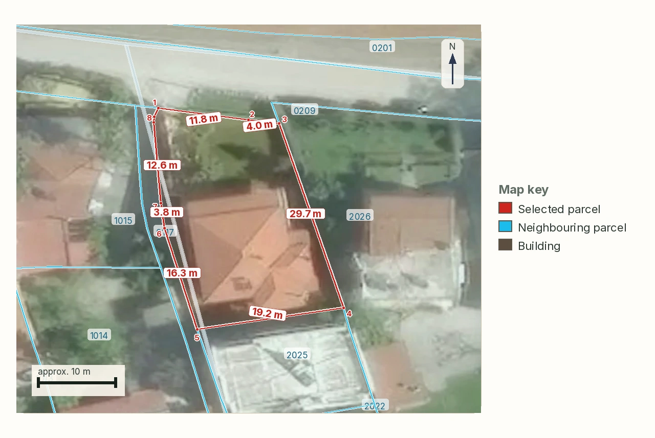
The final check needs no expertise: put the survey polygon and the cadastral polygon on the same screen and look at them. The state's polygon is public and free to look at, which is what makes this the one check a buyer can run without paying anybody.
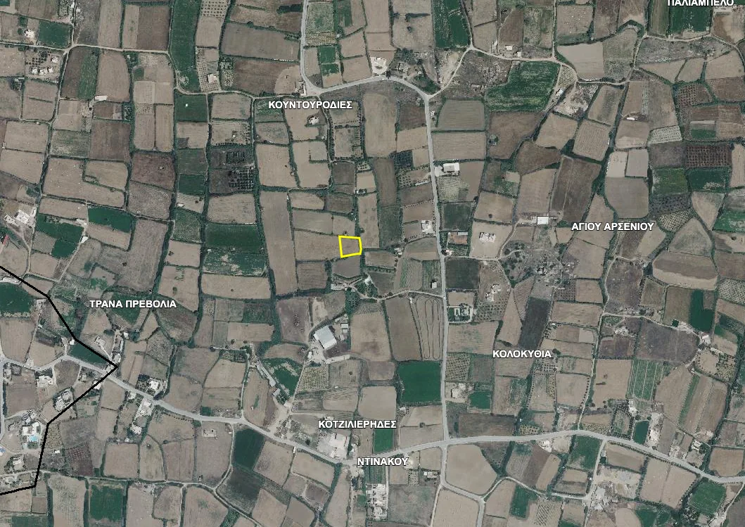
Expect a small difference and read the size of it. Cadastral geometry was compiled from declarations and aerial photography, an εξαρτημένο survey was measured on site, and where the two disagree, that difference matters before you pay a deposit.
Our §1.1 does this overlay for you and stops there, because a report cannot tell you which of the two outlines is right. What it can do is tell you before the deposit that there is something to argue about, and hand you the ΚΑΕΚ, the two areas and the shape of the difference, which is everything an engineer needs to quote you for the next step.
When the record is wrong: who fixes it, and by when
This is the part of the subject that gets skipped, and it is the part that decides whether a mismatch is a fortnight of paperwork or two years in a Πρωτοδικείο. Two records are in play and they behave nothing alike.
The cadastral entry
The keeper is the Κτηματολογικό Γραφείο for the area, and corrections are decided by its Προϊστάμενος in the first instance. Three routes exist and they are not interchangeable.
Πρόδηλο σφάλμα, άρθρο 18 παρ. 1 ν. 2664/1998. The route for an inaccuracy that shows on the face of the papers, typically where a public document registered at the Υποθηκοφυλακείο before the exhibition says something the entry does not, and provided the correction does not displace a third party's right unless that third party consents. The application «δεν επιβαρύνεται με τέλη και δικαιώματα», it carries no fee at all. If the Προϊστάμενος does not decide within 15 working days, or decides against you, you go to the Κτηματολογικός Δικαστής within another 15 working days. Where the parcel is entered «αγνώστου ιδιοκτήτη» the application is served on the State within 10 days, and the State is taken to consent if no negative answer arrives within 60 days. A negative answer, even one with no reasons given, obliges the office to reject.
Geometry, άρθρο 19 παρ. 2 ν. 2664/1998. This is the τοπογραφικό's own route, and the one a buyer reaches after the overlay above. The application must be accompanied by a διάγραμμα γεωμετρικών μεταβολών drawn by an engineer, it is likewise free of fees, and it goes to the same office. The answer to the question everybody asks is yes: the affected neighbours are served, and the application is inadmissible without it unless they have signed the diagram themselves. That one sentence turns a geometric correction into a negotiation with the people either side of you, and it is the reason to find out about a boundary problem before the deposit. From the decision, or from otherwise learning of it, there are 15 days to go to the Κτηματολογικός Δικαστής.
Αγωγή, άρθρο 6 παρ. 2 ν. 2664/1998. A disagreement about who owns what leaves the registry altogether: the correction is a claim in the Πρωτοδικείο. Before the hearing the claimant must call every defendant to a compulsory first mediation session before a κτηματολογικός διαμεσολαβητής, and failure to do so makes the hearing inadmissible; unjustified non-appearance is paid for in costs. Where geometric change is sought as well, the mediation record itself has to carry a διάγραμμα γεωμετρικών μεταβολών «επί ποινή ακυρότητας». Filing the action at the registry costs 12 euro. Everything else about it costs what litigation costs.
The clock behind all three. First entries do not stay open. Under άρθρο 6 παρ. 2α ν. 2664/1998, as replaced by άρθρο 102 παρ. 1 ν. 4623/2019, the action must be brought within an αποκλειστική προθεσμία ending on 31 December of the year in which eight years from the start of the period are completed, and the period starts from the publication in the ΦΕΚ of the registry board's decision for that area. When it expires, άρθρο 7 παρ. 1 makes the entry οριστική and gives the person named in it an αμάχητο τεκμήριο, an irrebuttable presumption. The true owner is left with what άρθρο 7 παρ. 2 allows: a money claim for the value of the property at the moment the presumption arose, and restitution in kind only where the property has not since been sold on and that sale registered. This is the single hardest deadline in Greek property and it runs per ΟΤΑ, not nationally. The registry publishes the expiry date for every one of about 3,600 ΟΤΑ, and on its table dated 15 June 2026 thirty-one of them expire on 31 December 2026, among them Tolo, Drepano, Asini and Iraio in Argolida and Acharnes, Marathon and Fyli in Attica, with another twenty-seven a year later. Ask which ΟΤΑ your plot is in and what its date is, and do it early, because the sentence above about the money claim is what the alternative looks like.
The survey sheet
Nobody keeps a register of correct surveys. The filing under άρθρο 40 ν. 4409/2016 that produces the ΚΗΔ deposits a drawing; nobody at the Κτηματολόγιο opens it and checks it, and holding a ΚΗΔ proves only that a diagram was submitted. The one public office that does read a τοπογραφικό and check it is the ΥΔΟΜ, and the moment it does so is the permit application: άρθρο 324 παρ. 2 περ. β΄ ν. 5306/2026 says the written βεβαίωση it issues within ten days states the building terms in force at the property «και ελέγχεται το τοπογραφικό διάγραμμα». If you want a public body's eyes on the sheet before you commit, that is where they are, and it is one of the reasons to pull the βεβαίωση instead of trusting the box printed on the drawing.
So a sheet is never amended. It is redrawn by an engineer, filed again, and issued a fresh ΚΗΔ; the earlier submission stays in the database. Read the date and code on a sheet before its geometry. The person who decides the old one was wrong is, in the ordinary case, the engineer you hire to look at it. Where the sheet was not merely wrong but dishonest there are two statutory levers, and both of them are criminal: άρθρο 283 παρ. 2 for a knowingly false declaration on the drawing, which carries the penalty of άρθρο 22 παρ. 6 ν. 1599/1986, and άρθρο 368 παρ. 11 for an inaccurate βεβαίωση μηχανικού. Neither is a form you file at a counter. Both need a lawyer, and the practical value of knowing they exist is that the engineer signing your seller's sheet knows it too.
The deadline on this side is short and easy to miss. The βεβαίωση μηχανικού is good for two months from signature under άρθρο 368 παρ. 6, so ask for it as the signing approaches. The survey behind it has no expiry date at all, and ages instead against άρθρο 368 παρ. 4: it must meet the specifications in force and be tied to the state grid, so what retires an old sheet is a change in the specifications or a change on the ground.
What to do, in order
- Ask for the sheet before you ask the price. A seller who cannot produce one is telling you something about how the plot has been held.
- Check the date and the ΚΗΔ. A sheet drawn from 16 July 2018 must carry one. An older sheet need not, so judge it on its coordinate table instead.
- Read the coordinate table. Hundreds of thousands and millions, or the sheet is not εξαρτημένο.
- Compare three areas: deed, survey, cadastral extract. Three numbers, one plot.
- Ask which ΟΤΑ the plot is in and when its correction window closes. The registry publishes a date per ΟΤΑ. After it, a wrong entry is unassailable and the remedy is money.
- Have your own engineer look at it before the deposit, not after. A second opinion on an existing sheet costs a fraction of a new survey, and if it turns into a geometric correction you will need your neighbours' signatures, which takes as long as it takes.
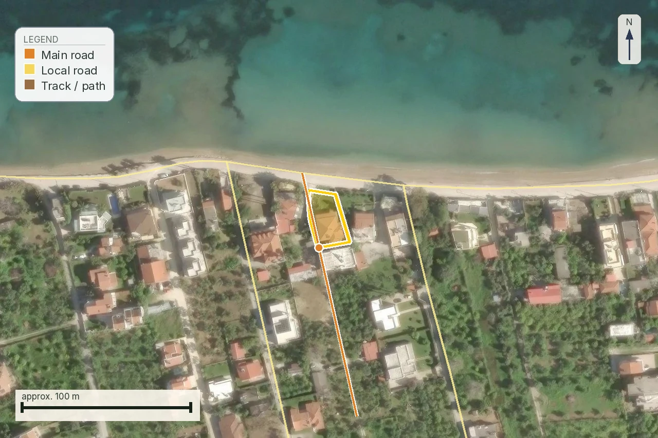
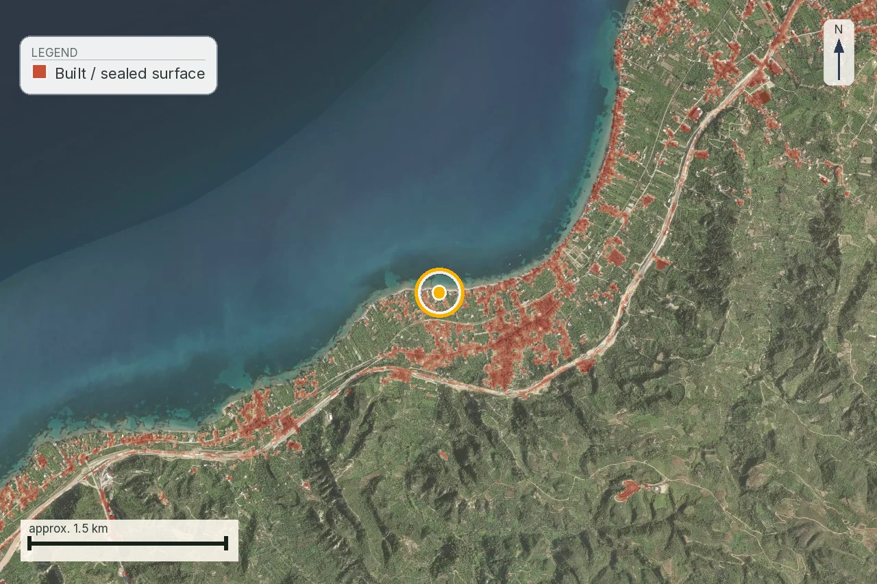
The sheet is also the document your lawyer, your engineer and the ΥΔΟΜ will all work from, so an old or unfiled one delays every other question you have. That is the practical argument for paying for a current one at the stage where you are still deciding whether to buy at all. Our report starts where this article ends: it gives you the ΚΑΕΚ, the state's polygon over the imagery, the cadastral area to hold against the deed and the sheet, and the access, forest and flood layers the same engineer will want to see, so that the hour you pay for goes on what to do next.
Common questions
What does εξαρτημένο actually mean?
That the corners of the plot are given in the national grid, ΕΓΣΑ '87, so the drawing can be laid over the cadastre, the forest map and every other public layer. ΥΑ ΥΠΕΝ/ΔΝΕΠ/27623/1752/2018 (ΦΕΚ Β΄ 2216) άρθρο 3 παρ. 2 requires it of every electronically submitted diagram, and άρθρο 368 παρ. 4 ν. 5306/2026, formerly άρθρο 83 παρ. 4 ν. 4495/2017, asks for the method of the tie and the trigonometric points used. A local grid of tidy round numbers is the usual failure.
Is a topographic diagram still compulsory after April 2026?
For out-of-plan land, in practice yes. The lifted attachment duty, now άρθρο 283 παρ. 1 ν. 5306/2026 and before that άρθρο 16 ν. 5293/2026 (ΦΕΚ Α΄ 57/7.4.2026), applies only where a functioning cadastre, a ratified and registered πράξη εφαρμογής and unchanged boundaries all hold together. A πράξη εφαρμογής is an in-plan instrument, so an out-of-plan parcel can never meet the second condition. Άρθρο 368 παρ. 4 of the same code is a separate obligation and was carried over unchanged.
What is a ΚΗΔ and can I check it myself?
The Κωδικός Ηλεκτρονικού Διαγράμματος, the code the Κτηματολόγιο issues when an engineer files a diagram in its database. It comes with an αποδεικτικό υποβολής which anyone holding the code can retrieve. Under άρθρο 40 παρ. 1 ν. 4409/2016 that certificate is attached to the deed «με ποινή ακυρότητάς της». Ask for the code with the sheet; a post-July-2018 sheet without one has not been filed.
The survey area and the cadastral area do not match. Which one is right?
Neither answer is automatic. An εξαρτημένο survey was measured on site and cadastral geometry was compiled from declarations and aerial photography, so the survey is usually the better measurement, but a survey can also have been drawn around a boundary that was moved. Get the two outlines on one screen, then have an engineer say which of the three areas, deed, survey and extract, the other two should be brought to.
Does the sheet prove that the plot is buildable?
It carries the engineer's declaration under άρθρο 283 παρ. 1 ν. 5306/2026 on whether building is permitted. That is a professional judgement, backed by the criminal penalty of άρθρο 22 παρ. 6 ν. 1599/1986 if it is knowingly false, and it binds nobody at the planning office. The document that does bind them is the ΥΔΟΜ's written βεβαίωση όρων δόμησης for that plot under άρθρο 324 παρ. 2 περ. β΄. Where the two disagree, the ΥΔΟΜ wins.
I am buying part of a larger field. Is there anything extra on the sheet?
Yes, and it is the clause people miss. Άρθρο 283 παρ. 1 ν. 5306/2026 makes the engineer certify on the same drawing whether the piece left with the seller still meets the building terms. A subdivision that leaves the remainder under the minimum has just cost the seller far more than the sale, and buyers occasionally discover the problem is theirs because the plot they bought is the offending half. One exception sits in the same sentence: sales of αγροτεμάχια in purely agricultural areas are outside that duty.
What should a new survey cost?
A Greek trade price guide, anakainisis-spitiou.gr in September 2025, puts it at roughly 150–300 euro up to 500 m², 300–500 up to 1,000 m² and 500–1,000 or more above that, with rough ground, an island trip, contours and a long irregular perimeter pushing it up. There is no tariff: άρθρο 7 ν. 3919/2011 (ΦΕΚ Α΄ 32) turned the compulsory minima into indicative figures and left the fee to written agreement. One trade source is not the market, so get three quotes.
The cadastre has my boundary in the wrong place. Who fixes it, and how long have I got?
The Κτηματολογικό Γραφείο for the area, on an application under άρθρο 19 παρ. 2 ν. 2664/1998 decided by its Προϊστάμενος. It must be accompanied by a διάγραμμα γεωμετρικών μεταβολών from an engineer, it carries no fee, and it is inadmissible unless it is served on the affected neighbours or they have signed the diagram themselves, which is the part that takes the time. Fifteen days from the decision to appeal to the Κτηματολογικός Δικαστής. Behind all of it runs the deadline that matters: under άρθρο 6 παρ. 2α, as replaced by άρθρο 102 παρ. 1 ν. 4623/2019, first entries become final on 31 December of the year in which eight years from the local start date are completed, and after that άρθρο 7 leaves the true owner a money claim rather than the land. The registry publishes that date for every ΟΤΑ; ask for yours.
The plot came to the seller by inheritance or γονική παροχή. Is there a sheet at all?
Probably not an άρθρο 283 one. That provision reaches transfers by sale, so a gift, an inheritance and a γονική παροχή do not trigger it, which is why title chains so often carry a survey on one link and nothing on the next. Άρθρο 368 is drawn wider and catches every deed inter vivos creating or transferring a right in rem, γονική παροχή included, so a survey should exist behind the engineer's certificate on that link. Inheritance is not a deed inter vivos and escapes both. If the chain runs through one, assume nobody has measured the boundary in living memory and price the survey in.
The seller's engineer already made a sheet. Do I need my own?
You need your own reading of it, which is cheaper than a second survey and almost as useful. The seller's engineer signed declarations about the seller's position, including whether the seller's remainder stays buildable. Paying an engineer of your own to check the coordinate table, the ΚΗΔ, the frontage line and the area against the cadastre costs a fraction of a fresh survey and is done in days.
Keep reading
Check this on your own parcel
Pin the plot, confirm the KAEK, and every check in this guide is read against it and written up with its source and date. EUR 39 total · VAT included.