
Pillar: Ground, hazard and utilities
Διαβάστε το άρθρο στα ελληνικά.
Flood and wildfire risk on a Greek plot: the ΥΠΕΝ maps, the ρέμα line and αναδασωτέα
On this page
What the two official Greek flood layers each answer, what Τ50, Τ100 and Τ1000 mean for one parcel, why an undelimited ρέμα costs more than a delimited one, and what a reforestation declaration forecloses after a fire.
This guide is a preliminary screen for a cost or timing question, not legal, surveying, engineering or tax advice; read the full scope and limits before relying on it.
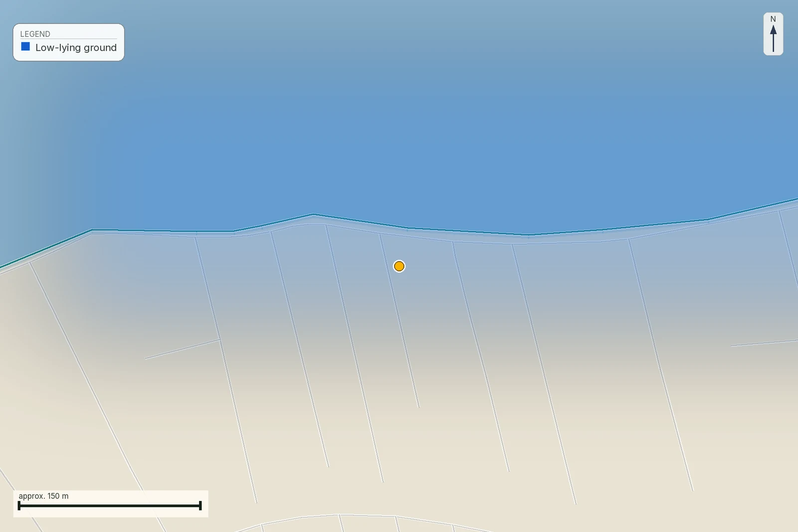
Two conveyable parcels give this page its opening contrast: Poros, Lefkada, and Agios Arsenios, Naxos. Put them through the official Greek flood layers and the Lefkada parcel comes back outside the modelled extent and the designated zone, while the Naxos control comes back near modelled water and inside a designated flood zone. A separate Naxos registry extent appears later only as a worked measurement, because the registry publishes it as Αιγιαλός and it is not a plot on sale.
Neither answer is wrong. They are answers to two different questions, published on two different maps, and almost every argument a buyer has about flood risk in Greece starts with confusing them. Flood and fire are the two hazards where Greek public data is unusually good and unusually badly explained, so this page stays on evidence: which register, which article of which law, and what the finding does to a building permit. It is one branch of the wider restriction stack, and the branch where the map most often disagrees with the lawyer.
The two flood maps the state actually publishes
Greece transposed the Floods Directive 2007/60/ΕΚ by ΚΥΑ Η.Π. 31822/1542/Ε103/2010 (ΦΕΚ Β΄ 1108/21.7.2010), amended by ΚΥΑ 177772/924/2017 (ΦΕΚ Β΄ 2140/22.6.2017). That instrument creates two things a buyer will meet, and they are not the same object.
The first is the ΖΔΥΚΠ, a ζώνη δυνητικά υψηλού κινδύνου πλημμύρας. Άρθρο 4 παρ. 5 of the ΚΥΑ defines it as the zone for which the authorities determine «ότι υπάρχουν δυνητικοί σοβαροί κίνδυνοι πλημμύρας ή ότι είναι πιθανόν να σημειωθεί πλημμύρα». It is drawn at the scale of a catchment or a coastal plain, it carries a name and a code, and it describes the wider area. It does not trace your property boundary. Our Naxos control parcel is inside one because the whole western shore of the island is one.
The second is the χάρτης επικινδυνότητας πλημμύρας, the modelled extent of water. That is the layer that answers a question about your ground.
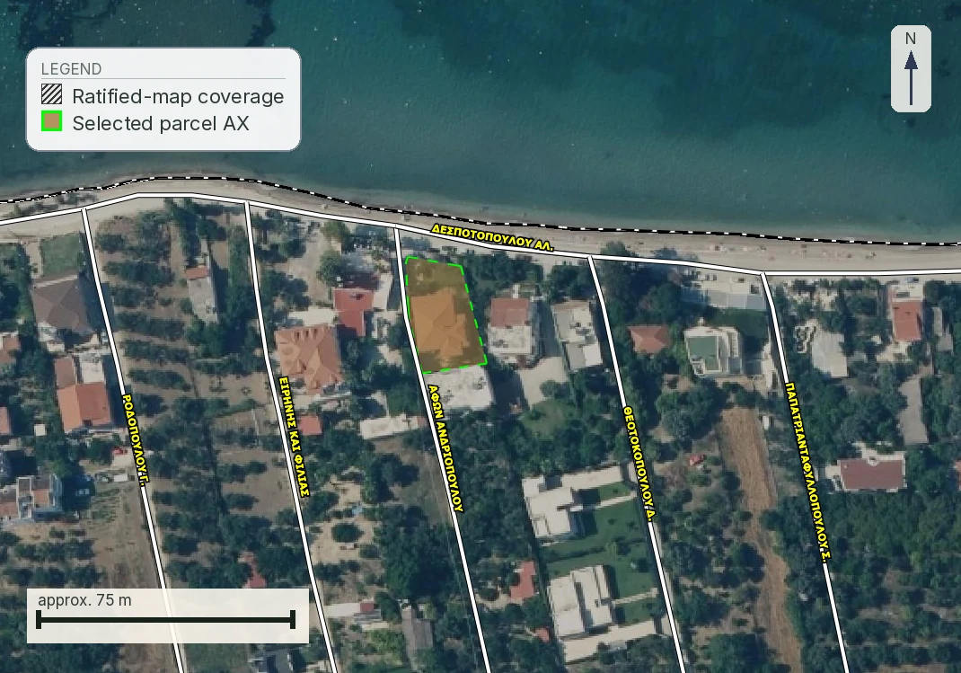
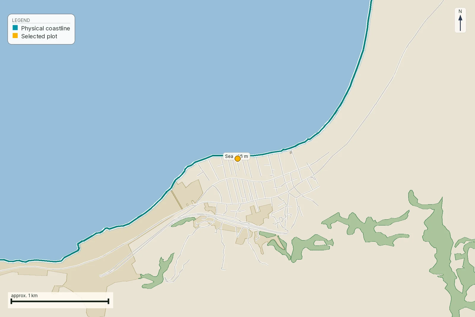
The table also carries one worked measurement that cannot support a purchase: ΚΑΕΚ 29002ΕΚ10017 is published by the registry as Αιγιαλός, a public foreshore extent, and is not a plot on sale. Its 18 m and 181 m readings are retained to show how the map measurement works, not to describe a candidate property.
Both are produced per υδατικό διαμέρισμα, of which there are fourteen, coded EL01 Δυτικής Πελοποννήσου through EL14 Νήσων Αιγαίου. The second-cycle Σχέδια Διαχείρισης Κινδύνων Πλημμύρας, formally the 1η Αναθεώρηση, were approved district by district in 2025: Θεσσαλίας (EL08) by ΦΕΚ Β΄ 2626/28.5.2025, Κεντρικής Μακεδονίας (EL10) by ΦΕΚ Β΄ 2480/21.5.2025, Νήσων Αιγαίου (EL14) by ΦΕΚ Β΄ 2771/5.6.2025, and the remaining eleven between 24 April and 5 June of the same year. Ask which district your plot is in and you can read the plan that governs it.
Τ50, Τ100 and Τ1000: what the picture is a picture of
Άρθρο 5 παρ. 3 of the same ΚΥΑ requires the hazard maps to be drawn for three scenarios: «α) πλημμύρες χαμηλής πιθανότητας υπέρβασης ή σενάρια ακραίων φαινόμενων (ενδεικτική περίοδος επαναφοράς μελέτης 1000 χρόνια)· β) πλημμύρες μέσης πιθανότητας υπέρβασης (πιθανή περίοδος επανάληψης τουλάχιστον 100 χρόνια)· γ) πλημμύρες υψηλής πιθανότητας υπέρβασης … 50 χρόνια».
A polygon without its scenario attached cannot be read. Inside the Τ1000 extent and outside the Τ50 is an ordinary result for flat coastal Greece and means something quite different from being inside all three. Ask for the scenario every time somebody shows you a flood outline, and be suspicious of any screenshot that does not name one.
There is also a second family of maps, the χάρτες κινδύνων πλημμύρας. They map consequences of flooding: παρ. 5 requires the «ενδεικτικός αριθμός κατοίκων που ενδέχεται να πληγούν», the economic activities exposed, the Seveso installations that could pollute if flooded, and the protected areas at risk. If your plot appears on that map it is because people or assets are counted there.
What a flood polygon does to a permit, and what it does not
Here is the part that gets overstated in both directions. We looked for a provision making a parcel unbuildable for the sole reason that it sits inside a mapped flood extent, and did not find one. What άρθρο 6 παρ. 7 of the ΚΥΑ requires is that environmental approvals and installation or operating licences for works «των οποίων η πραγματοποίηση ή λειτουργία παρουσιάζει δυνητικό κίνδυνο πλημμύρας» be compatible with the flood risk management plans. That reaches an environmental permit, not the building permit for a house.
We record that as a search result with an explicit uncertainty. We found no circular stating the negative in terms, so a buyer should treat it as our reading of the instrument. What is not in doubt is where the maps do bite. Άρθρο 2 παρ. 2 ν. 4258/2014 makes the delimitation dossier for a watercourse take account of the flood management plan and of «τους χάρτες κινδύνου και επικινδυνότητας πλημμύρας που συντάσσονται, σύμφωνα με τα άρθρα 5 και 6 της υπ' αριθμ. 31822/1542/2010 κοινής απόφασης». The flood map feeds the stream line, and the stream line is what refuses permits.
Ρέμα: the line that refuses the permit
Ν. 4258/2014 (ΦΕΚ Α΄ 94/14.4.2014) governs watercourses. Άρθρο 1 παρ. 1 defines a υδατόρεμα as «οι φυσικές ή διευθετημένες διαμορφώσεις της επιφάνειας του εδάφους που είναι κύριοι αποδέκτες των υδάτων της επιφανειακής απορροής», and it expressly excludes irrigation and drainage ditches. Water for part of the year is not part of the test. A channel that is dry for eleven months is a ρέμα.
Παρ. 9 of the same article defines the οριογραμμές, the two polygonal lines that together enclose the banks, the flood lines and anything that forms an inseparable part of the watercourse. Παρ. 12 names the ground between them the ζώνη υδατορέματος. Άρθρο 5 παρ. 3β puts that zone outside town planning altogether: it «αποτελεί περιοχή εκτός πολεοδομικού σχεδιασμού». Nothing is built there.
Now the number everybody asks for. Άρθρο 5 παρ. 2 ν. 4258/2014 (ΦΕΚ Α΄ 94/14.4.2014) says building is allowed «εκτός των ως άνω γραμμών πλημμύρας και των όχθων του υδατορέματος και σε απόσταση από αυτές που καθορίζεται σύμφωνα με την παρ. 1 του άρθρου 28 του ν. 4067/2012». That provision of the ΝΟΚ is an enabling clause, and it now lives on as άρθρο 225 παρ. 1 ν. 5306/2026 (ΦΕΚ Α΄ 88/8.6.2026), which reads: «Με προεδρικό διάταγμα, που εκδίδεται με πρόταση του Υπουργού Περιβάλλοντος και Ενέργειας, καθορίζονται οι όροι και προϋποθέσεις δόμησης κοντά σε ρέματα». With no such decree issued, there is no single statutory setback in metres, and anyone who quotes one should be asked which instrument it comes from. A ratified delimitation for the individual stream may already be held in the Water Directorate's archive of the relevant Decentralised Administration; establish this with its name where known, the municipality and the parcel location before paying for a hydrological study.
Two figures do circulate, 20 m and 50 m from the βαθιά γραμμή, and they are real. They come from άρθρο 374 ν. 5306/2026, which sets deemed provisional lines «αποκλειστικά για την εφαρμογή του παρόντος»: that is, for deciding whether an existing unauthorised structure may be regularised. The same article bars regularisation outright inside the οριογραμμές of a delimited stream. Those numbers govern a building that already exists. They are not the setback for one you intend to build.
Most ρέματα have no line drawn, and that is a cost rather than a relief
Delimitation is done stream by stream, and the country is nowhere near finished. Άρθρο 3 παρ. 3 of ν. 4258/2014 puts the ratifying act with the Γενικός Γραμματέας of the Αποκεντρωμένη Διοίκηση, or with the Minister for the Environment or for Infrastructure depending on the works, and it is published in the ΦΕΚ. Παρ. 4 requires a προεδρικό διάταγμα instead where the stretch runs through a declared archaeological site or a traditional settlement. Small catchments are exempt under άρθρο 4 παρ. 2, below 1.0 km² outside settlement limits and 0.5 km² inside them.
Where no line exists and you want a permit, άρθρο 5 παρ. 2 gives you a προσωρινή οριοθέτηση. Read its cost before you buy the plot. Three conditions: a hydraulic study for the whole catchment upstream of the point; flood lines plotted on a topographic diagram «για περίοδο επαναφοράς πενήντα ετών»; and checking and approval by the Τεχνική Υπηρεσία of the Περιφέρεια, which then notifies the Διεύθυνση Υδάτων of the Αποκεντρωμένη Διοίκηση. In practical terms the buyer commissions a hydrological study of a catchment in order to be told where their own building line falls. That is the single fact on this page most likely to change what somebody offers for a plot.
The Council of State has been firm on what the line describes. In ΣτΕ 2953/2016 the court treated the delimitation as the depiction of the natural bed, «λαμβανομένου υπόψη του χαρακτήρα του αφενός ως υδρογεωλογικού στοιχείου και αφετέρου ως οικοσυστήματος», and held that the depiction does not follow only the present physical state of the bed where that state has been produced by unauthorised infill. A neighbour who filled the channel twenty years ago has not moved it. Building in a stream without a permit, or against one, carries under άρθρο 381 παρ. 8β ν. 5306/2026 a prison term of at least two years and a fine of EUR 10,000 to 150,000.
There is no national public map of delimited streams. The planning layers of the Ενιαίος Ψηφιακός Χάρτης do not carry one, and ν. 4258/2014 άρθρο 6 has mandated a single national database since 2014. Άρθρο 5 παρ. 4 requires each Αποκεντρωμένη Διοίκηση to keep the delimitation acts through its Διεύθυνση Υδάτων. That archive, stream by stream, is where an engineer has to go.
Fire: the record we hold, and the decade it cannot see
Our own fire evidence comes from EFFIS, the Copernicus emergency service, whose Greek burnt-area polygons we hold as a national snapshot. It is a satellite record of where fire has been mapped, and its two limitations are more useful to a buyer than its contents.
The layer starts in 2016 and covers fires of roughly 30 hectares and up. Greek fires that produced reforestation declarations still binding today largely predate it: the 1998, 2000 and 2007 seasons are simply not in this dataset. Absence of a polygon over a plot is therefore not evidence that the plot has never burnt. The report page states that limitation directly.
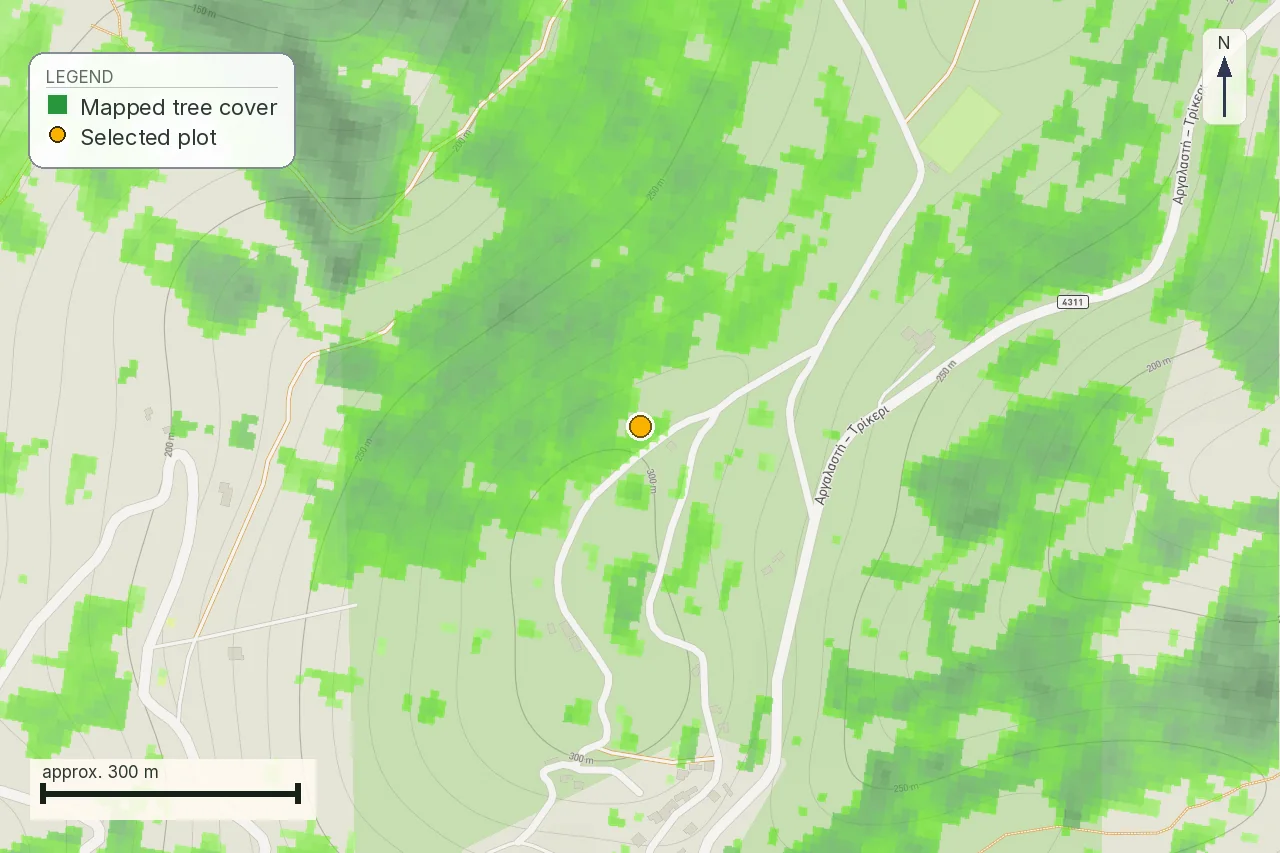
Trikeri, our forest parcel in Magnisia, is a clean example. Nothing in the EFFIS record touches it. The nearest mapped scar is 16.3 km away and it is the North Evia fire of 3 to 11 August 2021, 51,881 hectares in one polygon, across the channel. The parcel's own risk is not written in that distance. It is written in what surrounds it.
Fire does not change what the land legally is
This is the rule foreign buyers most often get backwards, and it is constitutional. Άρθρο 117 παρ. 3 του Συντάγματος: «Δημόσια ή ιδιωτικά δάση και δασικές εκτάσεις που καταστράφηκαν ή καταστρέφονται από πυρκαγιά ή που με άλλο τρόπο αποψιλώθηκαν ή αποψιλώνονται δεν αποβάλλουν για το λόγο αυτό το χαρακτήρα που είχαν πριν καταστραφούν, κηρύσσονται υποχρεωτικά αναδασωτέες και αποκλείεται να διατεθούν για άλλο προορισμό.» Burnt forest keeps its character, is compulsorily declared for reforestation, and may not be released for another use.
Άρθρο 38 παρ. 1 ν. 998/1979 (ΦΕΚ Α΄ 289/29.12.1979) repeats the obligation in ordinary legislation: burnt or cleared forest land «κηρύσσονται υποχρεωτικά ως αναδασωτέα ανεξαρτήτως της ειδικότερης κατηγορίας αυτών ή της θέσης στην οποία βρίσκονται». The declaratory act itself is άρθρο 41. Άρθρο 46 lists exhaustively what may still be sited on αναδασωτέα land, and the list is defence works, roads, pipelines, networks and mining; παρ. 2 confirms that those need no lifting of the reforestation. Nothing on the list is a house.
Άρθρο 44 is the way out, and it is narrow: lifting is decided by the Αποκεντρωμένη Διοίκηση on the Δασάρχης's reasoned opinion, either where the forest vegetation has actually been restored, or on public land that was never forest and where reforestation has proved infeasible after five years. There is no route that runs through a planning office.
Where to look this up matters, and it is not the code you would expect. A reforestation flag does not come back in the Χαρακτηρισμός έκτασης line of the forest viewer; it arrives separately as ΑΝ in the Επιπλέον Πληροφορία field, which our own report failed to read until 1 August 2026. That mechanism, the published legend and the objection route are set out in the δασικός χάρτης article and are not repeated here.
The clearing duty you buy with the plot
Greek wildfire law now puts a positive obligation on the owner, and it changed in February 2026.
Ν. 5281/2026 (ΦΕΚ Α΄ 28/25.2.2026) inserted άρθρο 53ΙΔ into ν. 4662/2020: owners and
occupiers must clear and maintain the covered land between 1 April and 15 June each year, with
municipal and fire-service checks from 16 June to 31 October. Declarations go through
akatharista.apps.gov.gr.
The penalty is EUR 1 per square metre of the plot, minimum EUR 200 and maximum EUR 2,000, and
the municipality's own clearing bill is charged on top and collected as municipal revenue. On a
4,000 m² out-of-plan plot the fine reaches its ceiling. Declarations are filed on the state
platform at akatharista.apps.gov.gr. Older figures of 0.50 EUR per square metre come
from the previous regime under άρθρο 266 ν. 5037/2023 and are out of date.
Insurance, and the two numbers a buyer can actually use
No Greek statute obliges a private owner to insure a home against flood, fire or earthquake. The obligation introduced by άρθρο 5 ν. 5116/2024 (ΦΕΚ Α΄ 100/3.7.2024) is aimed at businesses: they «ασφαλίζονται υποχρεωτικά έναντι δασικής πυρκαγιάς, πλημμύρας και σεισμού» for at least 70% of asset value, on pain of a EUR 10,000 fine doubling after thirty days and loss of state disaster aid. As enacted the threshold was annual gross income above EUR 2,000,000; the codified text and the implementing ΚΥΑ 96806 ΕΞ 2025 (ΦΕΚ Β΄ 2810/5.6.2025) now put it at EUR 500,000, applied from 1 June 2025. We could not identify by number the act that lowered it, and say so rather than guess.
What does reach a residential buyer is the ΕΝΦΙΑ discount. Under παρ. 7Ζ του άρθρου 3 ν. 4223/2013, a home covered together against earthquake, fire and flood at full reconstruction value, set at EUR 900 per m² for 2024–25 and EUR 1,000 per m² thereafter, with the latter applying now, receives 10% for 2024 and 20% from 2025 when the home's ΕΝΦΙΑ taxable value does not exceed EUR 500,000; above that taxable-value threshold the reduction is 10%. Three months in the preceding year is the floor, while the full percentage requires a full year and a shorter period is pro-rated. Apply through myPROPERTY with TAXISnet credentials. Confidence is high on the two brackets, the three perils, the three-month floor and myPROPERTY; it is lower on the reconstruction-value figures and medium on the exact pro-rating.
ΑΑΔΕ is the authority for this rule. Its decision text was not opened because aade.gr returned HTTP 403 from outside Greece; the figures above come from the summary of ΑΑΔΕ circular Α.1002/2025, read on taxheaven on 7 August 2026. The reconstruction-value figures carry lower confidence because they came from the circular's summary rather than its operative text.
Slope, unstable ground and when a geologist gets involved
Slope belongs on this page because water and fire both accelerate on it. Planning practice and the materials reviewed treat geologically unsuitable ground and steep slopes as matters to identify in plan studies, but the operative provision that would make the 35% threshold a planning-wide exclusion was not established here. For an out-of-plan island parcel, άρθρο 251 allows a small derogation on steep ground under old decrees only where «η μέση κλίση του γηπέδου να μην υπερβαίνει το σαράντα τοις εκατό (40%)», with the building single-storey and at most 150 m². Our Lefkada parcel, at 28.6% mean slope, still needs the actual planning and engineering checks.
Ν. 5306/2026 (ΦΕΚ Α΄ 88/8.6.2026) has been amended by ν. 5322/2026 and ν. 5325/2026 (ΦΕΚ Α΄ 122/31.7.2026). Article 225 paragraph 1 appears unaffected, but this page read the consolidated text on 7 August 2026 and records the amendments because the second predates that reading.
For an individual building permit there is no separate geological document in the list. Άρθρο 40 ν. 4495/2017 requires a στατική μελέτη and no report of geological suitability. Whether a γεωτεχνική μελέτη is needed follows from ΕΑΚ 2000, approved by ΥΑ Δ17α/141/3/ΦΝ275/1999 (ΦΕΚ Β΄ 2184/20.12.1999), and turns on the seismic zone, the foundation soil category and the importance class of the structure. Reports of geological suitability attach to plans instead, under ΥΑ 16374/3696/1998 (ΦΕΚ Β΄ 723/1998) and, for an Ειδικό Πολεοδομικό Σχέδιο, ΥΑ ΥΠΕΝ/ΔΠΟΛΣ/6015/136/2022 (ΦΕΚ Β΄ 510/9.2.2022). There is one narrow case where a study is compulsory for a whole settlement: ν. 4258/2014 άρθρο 22 παρ. 4.1, for villages recorded as landslide-prone.
Public landslide mapping is the weakest link in this chain. ΕΑΓΜΕ, the successor to ΙΓΜΕ, runs a
live geoportal and an active-faults viewer, but we found no national landslide-susceptibility layer
open to the public, and its older gaia.igme.gr service was answering with an expired
certificate on 1 August 2026. On steep or wet ground the answer still comes from a geologist
standing on the plot.
What to ask, and in what order
Six questions, in the order that saves money. To the seller's engineer, in writing: which υδατικό διαμέρισμα is the plot in, and does the parcel fall inside the ΖΔΥΚΠ or inside the modelled extent, and for which return period. Second: is there a delimited υδατόρεμα within 200 m, and if so what is the ΦΕΚ of the οριοθέτηση act. Third: if it is undelimited, has a προσωρινή οριοθέτηση already been approved for any neighbouring permit, because a study that exists is a study you may not have to pay for.
To the Διεύθυνση Δασών: is any part of the parcel declared αναδασωτέα, and what is the number and date of the act. To the municipality: has the plot been recorded as uncleared under άρθρο 53ΙΔ, and is any fine outstanding, since it follows the land. To an insurer, before the deposit: a quote naming πλημμύρα explicitly, because the premium is the market's own reading of the risk and it arrives faster than any of the above.
Common questions
My plot is inside a flood zone. Can I still build?
Probably, and the zone is the wrong thing to be frightened of. We found no Greek provision making a parcel unbuildable purely for sitting inside a mapped flood extent; άρθρο 6 παρ. 7 of ΚΥΑ 31822/1542/Ε103/2010 binds environmental approvals and operating licences to the flood management plan, not the building permit for a house. What does stop a permit is a watercourse line under ν. 4258/2014. Find out which of the two you are actually in.
What is the legal building distance from a ρέμα in Greece?
There is no single figure. Άρθρο 5 παρ. 2 ν. 4258/2014 (ΦΕΚ Α΄ 94/14.4.2014) says building is outside the flood lines and the banks at a distance fixed under what is now άρθρο 225 παρ. 1 ν. 5306/2026 (ΦΕΚ Α΄ 88/8.6.2026), which provides for a προεδρικό διάταγμα, and we found no such decree issued. The 20 m and 50 m figures people quote come from άρθρο 374 ν. 5306/2026 (ΦΕΚ Α΄ 88/8.6.2026) and apply only to regularising a structure that already exists.
The stream next to the plot is dry all summer. Does it count?
Yes. Άρθρο 1 παρ. 1 ν. 4258/2014 defines a υδατόρεμα by function, as a natural or regulated formation that receives surface runoff, and says nothing about how often it carries water. The provision expressly excludes irrigation and drainage ditches, which is the only distinction that matters on a dry channel.
What does an undelimited ρέμα cost me?
A hydraulic study of the whole catchment upstream of your plot, flood lines for a fifty-year return period drawn on a topographic diagram, and approval by the Τεχνική Υπηρεσία of the Περιφέρεια, all under άρθρο 5 παρ. 2 ν. 4258/2014. We found no reliable per-plot price and do not print one. Ask your engineer whether a neighbouring permit has already had a provisional delimitation approved for the same stretch.
Can I buy land that burned and build on it later?
Not by waiting. Άρθρο 117 παρ. 3 of the Constitution keeps burnt forest land in its previous character and requires it to be declared αναδασωτέα, and άρθρο 46 ν. 998/1979 lists exhaustively what may still be sited there: defence works, roads, pipelines, networks, mining. A dwelling is not on that list. The only exit is άρθρο 44, which turns on the forest actually growing back.
The fire dataset shows nothing over the plot. Is it safe?
It means the check found nothing, which is not the same. Our EFFIS snapshot for Greece holds 1,658 polygons covering 2016 to 2026 and fires of roughly 30 hectares and up, so the 1998, 2000 and 2007 seasons that produced many still-binding reforestation declarations are outside it entirely. The register that decides the legal question is the forest one, at the Διεύθυνση Δασών.
I bought a plot in March. Do I have to clear it this year?
Yes. Άρθρο 53ΙΔ ν. 4662/2020, as inserted by ν. 5281/2026 (ΦΕΚ Α΄ 28/25.2.2026), puts the duty on whoever owns or occupies the plot between 1 April and 15 June, with municipal and fire-service checks from 16 June to 31 October. The fine is EUR 1 per square metre with a minimum of 200 and a maximum of 2,000, plus the municipality's own clearing bill. Declarations go through akatharista.apps.gov.gr.
Is house insurance against flood and fire compulsory in Greece?
Not for a private owner. The compulsory cover of άρθρο 5 ν. 5116/2024 (ΦΕΚ Α΄ 100/3.7.2024) applies to businesses above a gross-income threshold, now EUR 500,000 under ΚΥΑ 96806 ΕΞ 2025. What a homeowner gets instead is an ΕΝΦΙΑ reduction: cover must name earthquake, fire and flood together at full reconstruction value, set at EUR 900 per m² for 2024–25 and EUR 1,000 per m² thereafter, which applies now. The threshold is the home's ENFIA taxable value, not the insured sum: 10% for 2024 and 20% from 2025 up to EUR 500,000, 10% above it. Three months is the floor, a full year earns the full percentage, and shorter cover is pro-rated. Apply through myPROPERTY with TAXISnet. AADE is the authority, but its decision text was not opened because aade.gr returned HTTP 403 outside Greece; the reconstruction-value figures carry lower confidence because they come from the summary of AADE circular Α.1002/2025, read on taxheaven on 7 August 2026, rather than its operative text.
Keep reading
Check this on your own parcel
Pin the plot, confirm the KAEK, and every check in this guide is read against it and written up with its source and date. EUR 39 total · VAT included.