
Διαβάστε το άρθρο στα ελληνικά.
ΚΑΕΚ and the Greek cadastre: reading the code, and the deadline behind it
On this page
Every registered parcel in Greece carries a twelve-digit code. What each group of digits identifies, which of four stages your plot's municipality is in, the dated deadline after which a wrong entry becomes unchallengeable, and the three routes to correct one.
This guide is a preliminary screen for a purchase or permit question, not legal, surveying, engineering or tax advice; read the full scope and limits before relying on it.
The Hellenic Cadastre gives its own code a one-line definition: «ο μοναδικός δωδεκαψήφιος κωδικός αριθμός που λαμβάνει κάθε γεωτεμάχιο». Twelve digits, one parcel, nothing shared. That is the easy part. The harder part, and the part nobody explains to a foreign buyer, is that the same twelve digits also tell you which register you are standing in, how provisional the boundary on the screen is, and how many years are left to argue about who owns the ground. Start from the buyer's checklist for Greek land if you have not done so already, because every line of it needs a ΚΑΕΚ first.
What the twelve digits are saying
The registry lists five components: the pre-Kapodistrian prefecture, the pre-Kapodistrian municipality or community, the cadastral sector, the cadastral unit and the parcel's serial number inside that unit. It does not publish where one stops and the next begins. We fixed the split by counting: the five-digit municipality code appears in the registry's own ΟΤΑ table, and inside every sector-and-unit pair of ΟΤΑ 34034 the parcel serials run 001, 002, 003 upward with no gaps of the kind a check digit would leave. The result is 2 + 3 + 2 + 2 + 3.
Two points matter more than the arithmetic. The first is that the code freezes the geography of 1996. Today's administrative map has moved on twice since. ΚΑΕΚ 490450120002, the launch sample of this guide, sits in Δήμος Νέας Προποντίδας on any modern map and reads ΝΕΩΝ ΣΙΛΑΤΩΝ in the register, because that was the community when the survey was commissioned. An estate agent who tells you the code belongs to a different village is often right about the village and wrong about the code.
The second is that the code identifies a place. It says where the parcel is, while ownership, the boundary's status and the possibility of building are answered elsewhere. Those answers live in the cadastral sheet and in the stage the area has reached, which is the next two sections.
Where the code stops being a plot
Some codes carry the letters ΕΚ where the two-digit sector should be: 34034ΕΚ01001, 29002ΕΚ10017. The registry's public guide defines the category behind them, ειδική έκταση, as parcels depicting «δρόμους, ποτάμια, ρέματα, λίμνες, παραλία, αιγιαλό». We counted every such code in the operating cadastre to see whether the definition holds, and it does.
This matters commercially. ΚΑΕΚ 29002ΕΚ10017 on Naxos is 15,559 m² of ground that a listing could describe as flat, coastal and cheap. The register describes it as Αιγιαλός: public foreshore, inalienable, and nobody can convey it. A code with ΕΚ in it is the cheapest red flag in Greek conveyancing, and it is visible before you open a single document. What αιγιαλός and παραλία mean for the land beside it is a separate question with its own answer.
Two other limits belong here. Horizontal and vertical properties, an apartment or a shop in a building, each get their own ΚΑΕΚ and their own extract, and the parcel layer records how many of them sit on a plot without publishing their codes: the ΟΤΑ of the Πόρος Λευκάδας parcel carries 73 horizontal and 53 vertical properties. We could not establish from any official source how those codes are formed, so if you are buying a flat, ask the notary for the unit's own ΚΑΕΚ in writing rather than assuming you can construct it from the parcel's. And the machinery on this page does not run everywhere: fifty ΟΤΑ are formally outside the national survey, forty-nine of them in the Dodecanese, where Rhodes, Kos and part of Leros keep the separate Κτηματολόγιο Δωδεκανήσου, plus Mount Athos.
Four stages, and the one your plot is in
Greece has been building this register since ν. 2308/1995 (ΦΕΚ Α΄ 114) set up the survey process and ν. 2664/1998 (ΦΕΚ Α΄ 275) set up the register that follows it. ν. 4512/2018 (ΦΕΚ Α΄ 5) replaced the old company with the public body «Ελληνικό Κτηματολόγιο», whose target structure is 17 Κτηματολογικά Γραφεία and 75 Υποκαταστήματα in place of the 392 Υποθηκοφυλακεία that used to hold deeds. The 2026 planning code, ν. 5306/2026 (ΦΕΚ Α΄ 88/8.6.2026), renumbered a great deal of Greek building law and left the registration provisions of both cadastre statutes where they were; it cites them as being in force.
The distinction that changes a decision is between stage 2 and stage 4. At ανάρτηση the tables and diagrams are published precisely so that people can attack them: objections go to the Επιτροπές Εξέτασης Υποθέσεων Κτηματογράφησης of άρθρο 7Α ν. 2308/1995, and both the owner list and the drawn boundary can still move. Four of the six parcels this guide follows are at that stage. Our own reports say which layer a boundary came from for that reason, and a boundary read from the exhibition layer is evidence that a survey happened. Proof of where the line finally runs comes with the first registrations.
Exhibition is also the cheap moment to fix things, and it has its own machinery. Objections during the survey go to the first-instance committees of άρθρο 7 ν. 2308/1995, three members chaired by a magistrate, notary or lawyer with a surveyor sitting alongside; άρθρο 7Α replaced the old arrangement with the Επιτροπές Εξέτασης Υποθέσεων Κτηματογράφησης, and an application to them that is still pending when first registrations are made gets noted on the cadastral sheet and changes who has to be sued later. Άρθρο 6 παρ. 2γ ν. 2664/1998 says so explicitly, and adds that bringing the action ends the committee procedure automatically. A seller who tells you an objection is "in progress" is describing something with a legal life of its own, and the answer is to see the filing.
The deadline that makes a wrong entry true
This is the single fact on the page most likely to change what you do. When first registrations are made, they are not final. Άρθρο 6 παρ. 2α ν. 2664/1998, as replaced by άρθρο 102 παρ. 1 ν. 4623/2019 (ΦΕΚ Α΄ 134), gives anyone with a legitimate interest a window to sue for correction, and defines it as «αποκλειστική προθεσμία που λήγει την 31η Δεκεμβρίου του έτους, εντός του οποίου συμπληρώνονται οκτώ (8) έτη από την έναρξη της προθεσμίας». The clock starts on publication in the ΦΕΚ of the Board decision bringing the cadastre into force in that area.
When it runs out, άρθρο 7 παρ. 1 makes the entry «οριστικές» and gives it an αμάχητο τεκμήριο, an irrebuttable presumption in favour of whoever is written there. Παρ. 2 spells out what is left to the real owner: «ενοχική μόνον αξίωση κατά του αναφερόμενου ανακριβώς ως δικαιούχου για την απόδοση του πλουτισμού», a money claim for the value of the property at the moment the presumption arose. The land is gone. Restitution in kind is possible only if there has been neither a special succession for value (ειδική διαδοχή από επαχθή αιτία) nor registration of that succession in the cadastral book.
The dates are not abstract. Τολού in Αργολίδα, a place foreign buyers actually shop in, started its clock on 25 June 2018 and loses the right to challenge on 31 December 2026, which is five months from the date at the top of this page. Χαϊδαρίου, Ψυχικού, Κρωπίας and Ασπροπύργου follow on 31 December 2027. If you are buying in one of those areas, the correction you were planning to deal with after the purchase may not be available to your seller, let alone to you.
Two honest qualifications. Areas surveyed under the old programmes were governed separately by άρθρο 102 παρ. 2 ν. 4623/2019, whose 31.12.2023 date was replaced by 30.11.2024 through άρθρο 5 παρ. 1 ν. 5076/2023; the same article added a παρ. 2Α reopening correction until 30.11.2024 in areas whose deadline had already expired, but only «μόνο αν, κατόπιν της λήξης της αποκλειστικής προθεσμίας για κάθε περιοχή, δεν έχουν εγγραφεί μεταγενέστερες πράξεις». That window is closed. And the consolidated databases lag: at least one widely used one still prints the superseded 31.12.2023 in the text of άρθρο 102 παρ. 2. The gazette is the authority, and the registry's per-municipality table is the practical answer for a specific plot.
«Αγνώστου ιδιοκτήτη», and the State's claim
Where nobody declared a parcel, it goes into the book with the marking «αγνώστου ιδιοκτήτη». Άρθρο 9 παρ. 1 ν. 2664/1998 says what happens next in one sentence: such properties «θεωρείται ότι ανήκουν στην κυριότητα του Ελληνικού Δημοσίου μόλις καταστεί οριστική η πρώτη εγγραφή», and the irrebuttable presumption of άρθρο 7 arises in the State's favour.
Before that moment the route is not the ordinary action. Άρθρο 6 παρ. 3α sends the claimant to the Κτηματολογικός Δικαστής of the place where the property is, under the non-contentious procedure, and requires the application to be served on the Ελληνικό Δημόσιο within twenty days of filing on pain of inadmissibility. There is one important exception written into subparagraph ββ: where the claimant relies on έκτακτη χρησικτησία, adverse possession, over a plot marked «αγνώστου ιδιοκτήτη», it is the ordinary action against the State that must be brought, not the application. For a horizontal or vertical property the application is used even then.
For a buyer the practical reading is short. A parcel showing «αγνώστου ιδιοκτήτη» is not a bargain waiting for paperwork. It is either a claim that somebody has to win in court within a dated window, or, after that window, land that belongs to the State.
What is on a κτηματολογικό φύλλο
The cadastral sheet is the register's page for one parcel. Everything registrable is written on it in order: the property's identification, the rights, the charges, and any pending action or correction application. A copy costs 9.50 euro and can be ordered online with TAXISnet.
A lawyer reads it backwards from the last block. A pending αγωγή noted under άρθρο 6 or an application under άρθρο 18 means the entry is contested and the deposit should wait. A fraction in the ownership share means every co-owner signs. A charge in block Γ travels with the parcel and becomes yours. And the title reference in block Β is the line that ties the register back to the old deeds system, which is where most correctable errors were born.
The two diagrams, and which one you need
Two documents with similar names do different jobs, and asking for the wrong one wastes a fortnight.
Neither of them is a survey of your land. The document that measures the ground, ties it to ΕΓΣΑ '87 and carries the engineer's declarations is the τοπογραφικό διάγραμμα, which has its own article in this guide and its own failure modes. The cadastral geometry was compiled from declarations and aerial photography, and it is the thing a survey is checked against, in that direction.
Three areas that disagree
On a normal Greek transaction there are three numbers for the same field: the area in the deed, the area on the topographic sheet, and the area in the cadastre. They rarely match. None of the three is automatically right, and the question of which governs has no single statutory answer, which is why the practical rule is to get all three outlines onto one screen before arguing about figures.
What can be said precisely is narrower. The deed's area is a historical statement, often copied forward through generations. The cadastral area is a measurement off compiled geometry: Πόρος Λευκάδας is held as 41,306.69 m² and Άγιος Αρσένιος as 1,241.74 m², to the square centimetre, which is precision rather than accuracy. The survey area is a measurement on the ground, and it is the one an engineer will defend. Where the difference is geometric rather than clerical, the fix is the άρθρο 19 παρ. 2 route below rather than a renegotiation of the price.
One tolerance is written down. For horizontal and vertical properties, άρθρο 16 ν. 5142/2024 (ΦΕΚ Α΄ 71) allows a unilateral notarial correction and treats deviations of up to 2% from the areas in the σύσταση as not requiring an amendment before a transfer. It does not apply to the parcel itself.
Fixing a wrong entry: three routes
Everything above is why this section exists. A cadastral error is fixable, cheaply and without a court, right up until it is not fixable at all.
The manifest-error route is more generous than its name suggests. Άρθρο 18 παρ. 1β lists as manifest an inaccuracy that follows from a public document registered at the Υποθηκοφυλακείο before the exhibition, provided the correction does not displace a third party's right, and where the parcel is marked «αγνώστου ιδιοκτήτη» the application is served on the State, which «τεκμαίρεται ότι συναινεί» if no negative answer arrives within sixty days. A great many inherited-title problems are solved on that paragraph alone.
There is also a specialised route added in 2024. Άρθρο 15 ν. 5142/2024 allows direct correction of a cadastral entry where a forest map finding was overturned by a decision of the ΕΠ.Ε.Α. under άρθρο 15 ν. 3889/2010, under four cumulative conditions and without service on the State. Where a plot's problem began on the δασικός χάρτης, that is the paragraph to put in front of your lawyer.
What none of this covers is a boundary that two neighbours genuinely dispute. The registry corrects errors; it does not decide who owns the contested strip. That goes to court, with the mediation session first, and it is slower and dearer than any other item on this page.
Finding the code yourself
You do not need the seller's cooperation to get this far. The registry runs a public map viewer at maps.ktimatologio.gr on which you can find a plot and read its ΚΑΕΚ, its recorded area and the land-use description the survey gave it, which is how the ΕΚ codes and the descriptions quoted throughout this article were read. What the viewer will not tell you is who owns the parcel: owner names are not public, and any site that claims to sell you that lookup is either selling you the public data or selling you something it should not have.
The paid documents are cheap, so order them early. A copy of the κτηματολογικό φύλλο is 9.50 euro, plus 4.50 for each extra sheet. An απόσπασμα κτηματολογικού διαγράμματος is 15 euro. A πιστοποιητικό κτηματολογικών εγγραφών for the property is 9.50 euro on a standalone application. All of them can be ordered online with TAXISnet and arrive digitally. Set against a transaction where the registration fee alone on a 100,000 euro purchase is 623 euro under the registry's own worked example, spending 25 euro before the deposit is not a decision that needs thinking about.
A parental gift falls into a different category from a sale
The registration fee at the Κτηματολογικό Γραφείο is not a fixed amount; it depends on the act. A sale falls into category 1: 23 euro plus 0.6% of the price, which gives the 623 euro in the example above. A parental gift, the most common way a Greek plot passes from parent to child without a sale, falls into category 2: 32 euro plus 0.9% of the value. Its percentage is higher than the sale's, and it has its own category; it is not simply the same charge under another name. In the registry's table, the numbers printed next to each act identify categories; the euro amounts are stated separately. A court action is category 4 and costs 12 euro, and a manifest-error correction is category 5 and costs 0 euro. Treating "4" or "5" as a price instead of a category number can cause a family sharing land to budget the wrong fee before reaching the notary. This fee covers only registration in the Cadastre. The parental-gift tax, with its own scale and filing deadline at ΑΑΔΕ, is a separate obligation, and the notary handles it before the act is drawn up.
What to do, in order
- Get the ΚΑΕΚ in writing from the seller and check it on the registry's public viewer at maps.ktimatologio.gr before you pay for anything.
- Read the sector digits. ΕΚ means you are looking at a road, a stream or the foreshore.
- Find the municipality's stage. Exhibition means the boundary can still move; a live cadastre means the eight-year clock is running.
- Look up that municipality in the registry's deadline table and write the expiry date into your own timeline.
- Order the κτηματολογικό φύλλο, 9.50 euro, and the απόσπασμα κτηματολογικού διαγράμματος, 15 euro. That is the whole documentary basis for about 25 euro.
- Give both to a lawyer with the seller's deed and the topographic sheet, and ask specifically whether any correction is needed and which of the three routes it takes.
- If a correction is needed and the deadline is inside two years, make completion conditional on it. After the deadline there is nothing to negotiate about.
Common questions
What do the twelve digits of a ΚΑΕΚ actually mean?
They run 2 + 3 + 2 + 2 + 3: prefecture, pre-Kapodistrian municipality, cadastral sector, cadastral unit, parcel serial. In ΚΑΕΚ 290021001061 that is Κυκλάδων, Αγίου Αρσενίου, sector 10, unit 01, parcel 061. The registry publishes the five components but not the split; we fixed it by counting real codes, because parcel serials inside every unit run 001 upward with no gaps.
A listing gives me a code with ΕΚ in the middle. Is that a plot?
No. ΕΚ sits where the two-digit cadastral sector belongs and marks an ειδική έκταση, which the registry's own guide defines as a parcel depicting «δρόμους, ποτάμια, ρέματα, λίμνες, παραλία, αιγιαλό». There are 420,871 of them in the operating cadastre and we counted what they describe: roads, watercourses and foreshore. ΚΑΕΚ 29002ΕΚ10017 on Naxos is 15,559 m² of Αιγιαλός, which nobody can sell.
Until when can a first registration be challenged?
Άρθρο 6 παρ. 2α ν. 2664/1998, as replaced by άρθρο 102 παρ. 1 ν. 4623/2019 (ΦΕΚ Α΄ 134), sets an «αποκλειστική προθεσμία που λήγει την 31η Δεκεμβρίου του έτους, εντός του οποίου συμπληρώνονται οκτώ (8) έτη από την έναρξη της προθεσμίας», counted from the ΦΕΚ publication of the decision bringing the cadastre into force there. The registry publishes the date per municipality: Τερψιθέας expires 31.12.2033, Πόρου Λευκάδας 31.12.2034, Τολού 31.12.2026.
What happens if the deadline passes and the entry was wrong?
Άρθρο 7 παρ. 1 makes the entry final and creates an αμάχητο τεκμήριο for whoever is written in it. Παρ. 2 leaves the real owner an «ενοχική μόνον αξίωση ... για την απόδοση του πλουτισμού», a money claim for the property's value at the moment the presumption arose. Getting the land itself back is possible only if there has been neither a special succession for value (ειδική διαδοχή από επαχθή αιτία) nor registration of that succession in the cadastral book.
The parcel shows «αγνώστου ιδιοκτήτη». Can I still buy it?
Not from a person who is not on the register. Άρθρο 9 παρ. 1 ν. 2664/1998 says such properties «θεωρείται ότι ανήκουν στην κυριότητα του Ελληνικού Δημοσίου μόλις καταστεί οριστική η πρώτη εγγραφή». Before that, the claimant applies to the Κτηματολογικός Δικαστής under άρθρο 6 παρ. 3α and must serve the State within twenty days; where the claim rests on έκτακτη χρησικτησία over a parcel, it is an ordinary action against the State instead.
What does it cost to correct a mistake in the cadastre?
The application itself is free on the two administrative routes: άρθρο 18 παρ. 1 and άρθρο 19 παρ. 2 both provide that it «δεν επιβαρύνεται με τέλη και δικαιώματα, πάγια ή αναλογικά», and the registry's fee table puts both in category 5, which is 0 euro. Registering a court action is category 4, 12 euro. The real cost is the engineer's διάγραμμα γεωμετρικών μεταβολών where the boundary moves, and the lawyer where it goes to court.
The deed, the survey and the cadastre give three different areas. Which one wins?
None of them automatically. The deed's figure is historical, the cadastral figure is a measurement off compiled geometry and the survey is a measurement on the ground. Put the three outlines on one screen before arguing. One tolerance is written down: for horizontal and vertical properties άρθρο 16 ν. 5142/2024 (ΦΕΚ Α΄ 71) treats deviations up to 2% from the σύσταση as not needing an amendment before transfer, and it does not extend to the parcel.
Does the cadastre work the same way on Rhodes and Kos?
No. Fifty ΟΤΑ sit outside the national survey, forty-nine of them in the Dodecanese, where Rhodes, Kos and part of Leros keep the separate Κτηματολόγιο Δωδεκανήσου, plus Mount Athos. The registry's stated plan is to digitise those records so they become compatible with the national database. Until that happens, ask a local lawyer which register governs before applying anything on this page.
Keep reading
Check this on your own parcel
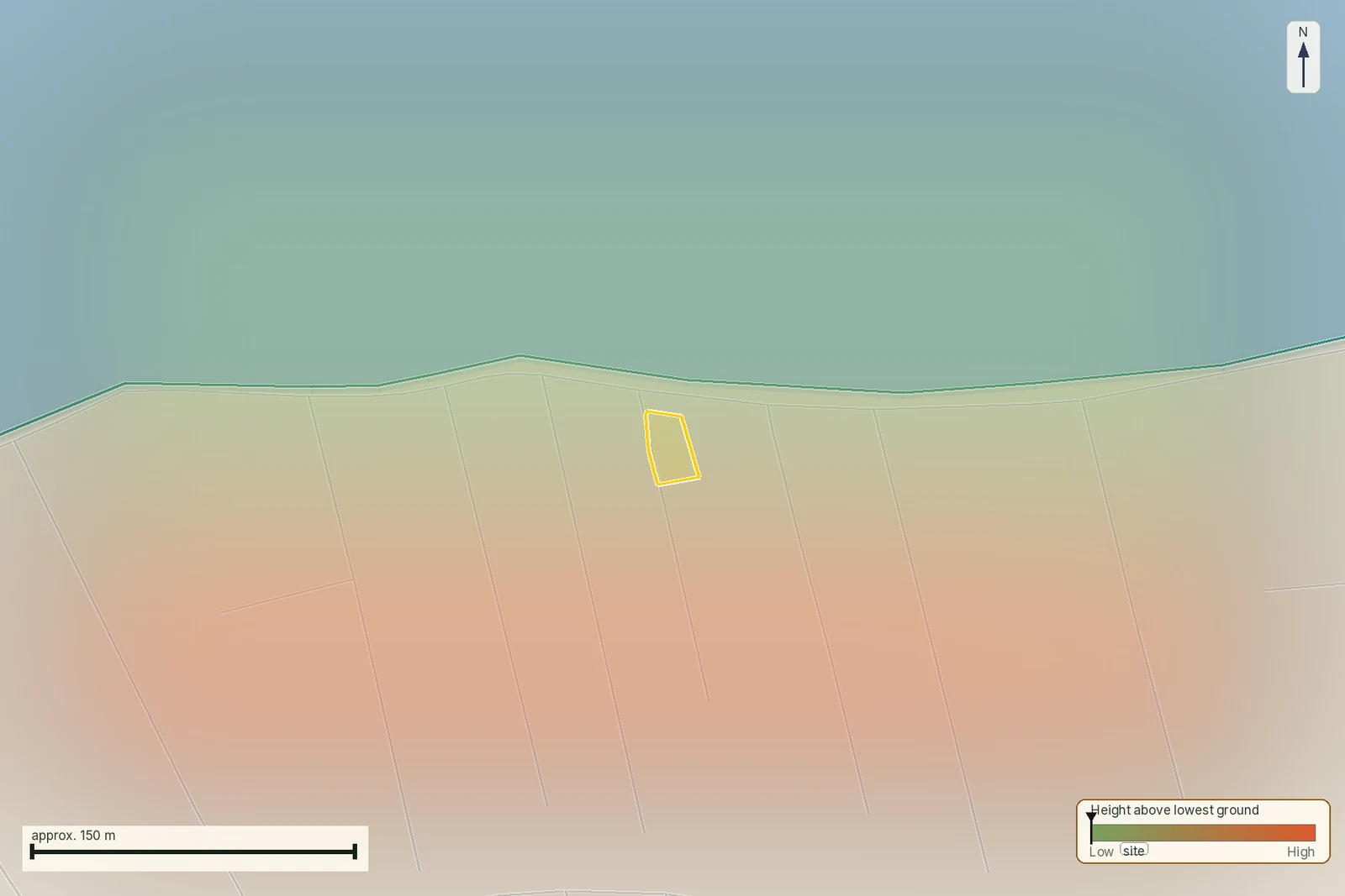
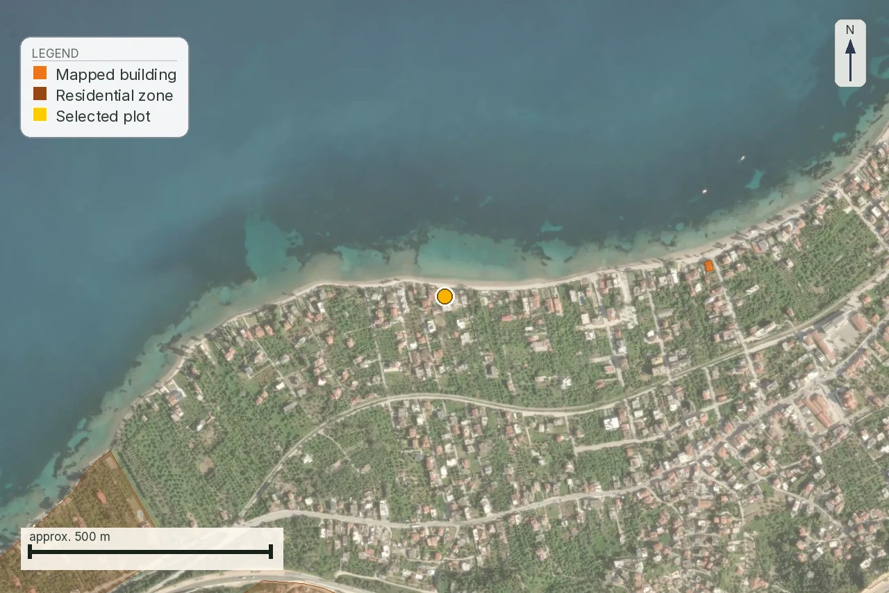
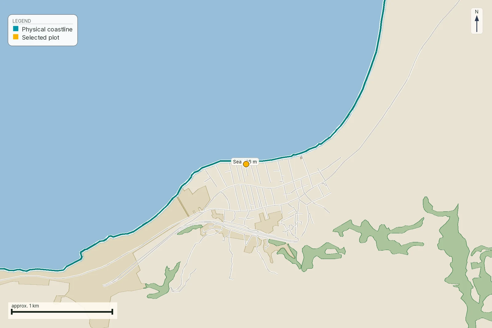
Pin the plot, confirm the KAEK, and every check in this guide is read against it and written up with its source and date. EUR 39 total · VAT included.