
Διαβάστε το άρθρο στα ελληνικά.
Archaeological sites and Greek property: check the archaeological cadastre before you buy
On this page
A map hit near an archaeological site sends you to the protection act and the proposed works, not to a verdict on the purchase.
This guide is a preliminary screen for a purchase or permit question, not legal, surveying, engineering or tax advice; read the full scope and limits before relying on it.
A parcel in Νάξος, KAEK 29002ΕΚ10017, sits about 420 metres from the nearest polygon in the Ministry of Culture’s Αρχαιολογικό Κτηματολόγιο and 46 metres from a mapped flood corridor. Neither line touches the plot. Both belong in the same file, because a preflight has to read every register a parcel answers to, and this page shows how the archaeological one is read. Read the wider building-restrictions guide and the topographic-diagram guide alongside it.
One line before the figures: the registry publishes this parcel’s extent as Αιγιαλός, land that cannot be sold, so it appears here only as a measured distance, never as a candidate purchase.
The rest of this page works from the statute in force today, ν. 4858/2021, and from the figures one real parcel actually returns. Where the record does not say enough to answer a question, the gap gets written down. It does not get filled with the repealed number or a guess.
Ν. 4858/2021 is the code that answers this now; not ν. 3028/2002
Greek antiquities law has a new number. Ν. 4858/2021 (“Κύρωση Κώδικα νομοθεσίας για την προστασία των αρχαιοτήτων και εν γένει της πολιτιστικής κληρονομιάς”, ΦΕΚ Α΄ 220/19.11.2021) recodified ν. 3028/2002 article by article. Άρθρα 10, 12 and 13, the three a property buyer actually needs, kept the same numbers and titles in the move. A document that still cites “άρθρο 13 ν. 3028/2002” is quoting a shell. The substance moved house in November 2021, and the number moved with it.
This matters at the counter of an Εφορεία Αρχαιοτήτων just as much as on paper. A lawyer or engineer who opens a file with the old citation gets corrected, and the correction costs a round trip. Everywhere this page cites a provision it names ν. 4858/2021 first and ν. 3028/2002 only as the provenance, because that is the citation a Greek office now expects to read.
Άρθρο 13 gives Zone A a straight answer: nothing may be built there
Ask the direct question and the statute gives a direct answer. An archaeological Zone A is defined in άρθρο 13 ν. 4858/2021 as a zone in which η δόμηση “απαγορεύεται παντελώς”, building is prohibited outright. That is the rule itself. No screening signal or planning preference softens it, and no local office can waive it. The one narrow route back is the article’s own exception: on a terrestrial site out of plan, a specific structure can be permitted “μετά από άδεια, που χορηγείται με απόφαση του Υπουργού Πολιτισμού ύστερα από γνώμη του Συμβουλίου”, a permit granted by the Minister of Culture on the Council’s opinion. That is a discretionary, project-by-project decision. The land itself carries no such right.
The honest form of the question is therefore never whether Zone A allows something, because on the statute’s own terms almost nothing does. The useful question is whether the parcel sits inside the demarcated zone at all, and only the ΦΕΚ decision and its diagram answer that. A village name on a listing does not.
Zone B’s terms come from a second decision, and no shortcut skips it
Archaeological Zone B is the second half of άρθρο 13: a zone carrying “ειδικές ρυθμίσεις ως προς τους όρους δόμησης ή τις χρήσεις γης ή τις επιτρεπόμενες δραστηριότητες”, special terms on building conditions, land uses or permitted activities. The zone itself is declared the same way as Zone A, by a decision published in the ΦΕΚ with a diagram. What differs is the content: Zone B’s own terms are fixed by a further decision, and whether that second decision is always issued jointly between ministries is not settled here. A professional reading a specific Zone B file should confirm the form it actually took instead of assuming one.
Read together with works near a monument, this produces a working clock. Where άρθρο 10 applies, παρ. 6 gives the Ministry three months from the application to answer, two months where the file concerns a shop licence. Put that figure in a timetable. A forum estimate has no standing against it.
| Regime | What άρθρο 13 says | Who can move it | Where it is published |
|---|---|---|---|
| Zone A | “απαγορεύεται παντελώς η δόμηση”, building prohibited outright | Nobody, short of the narrow exception below | The demarcation decision in the ΦΕΚ, with its diagram |
| Zone B | “ειδικές ρυθμίσεις ως προς τους όρους δόμησης ή τις χρήσεις γης ή τις επιτρεπόμενες δραστηριότητες” | The Ministry, by a further decision fixing the terms | The same ΦΕΚ decision, plus the terms decision once issued |
| The one exception (terrestrial site, out of plan) | a permit “που χορηγείται με απόφαση του Υπουργού Πολιτισμού ύστερα από γνώμη του Συμβουλίου” | The Minister of Culture, project by project, on the Council's opinion | The individual permit decision, not the zone act |
Source: άρθρο 13 ν. 4858/2021 (ΦΕΚ Α΄ 220/19.11.2021), read from the statute text. Checked 7 August 2026. Limitation: the exact paragraph numbering inside the article, and whether the Zone B terms decision is always joint, are not established here. Confirm at the Εφορεία for a specific file.
Άρθρο 12 draws the boundary from field research, and the ministry’s decision is the document
An archaeological site’s boundary comes from field research and a ministerial decision, and a place name plays no part in fixing it. Άρθρο 12 ν. 4858/2021 has a site declared and its boundary fixed, or re-fixed, “με βάση τα δεδομένα αρχαιολογικής έρευνας πεδίου και απόφαση του Υπουργού Πολιτισμού”, on field research data and a decision of the Minister of Culture. The decision is published in the ΦΕΚ together with a diagram, and a survey has to be checked against exactly that diagram. A beach’s tourist name or a village boundary settles nothing.
A buyer’s first move is therefore identity ahead of archaeology. Put the parcel’s own polygon, coordinate reference and KAEK beside the demarcation diagram and ask whether they describe the same ground. A pin dropped from an advertisement, moved fifty metres by a different basemap, answers a different question from the one the seller is actually being asked.
A site, a monument and a protection zone are three different files
Buyers collapse every cultural-heritage result into one phrase, “archaeological site”, and lose the distinctions that decide the outcome. Ν. 4858/2021 keeps at least four kinds of object apart: the archaeological site itself, demarcated under άρθρο 12; the immovable monument, which can sit on a footprint far smaller than the parcel around it; the protection zone that follows a site under άρθρο 13; and the historic place, a separate designation with its own act. A parcel can be outside a site’s own polygon and still inside its surrounding Zone B, or hold a listed monument on a corner while the rest of the land carries no restriction at all.
Reading a public layer correctly means asking, in order: which object was returned, which article and act created it, and which service now holds the file. Writing “no restriction” because one layer returned nothing skips all three questions in a single line.
Άρθρο 10 gives the Εφορεία three months to answer, once a design exists to answer about
Άρθρο 10 ν. 4858/2021, “Ενέργειες σε ακίνητα μνημεία και στο περιβάλλον τους”, governs works that touch a monument or its surroundings. Παρ. 6 sets the clock used above: an application gets an answer within three months, or two for a shop licence. What the article does not do is answer before there is something to answer about. The Εφορεία responds to a submitted proposal, a set of drawings and a described intervention. A bare parcel gets no answer at all.
That sequencing is the practical lesson. Commissioning the engineer’s design before the archaeological question is settled risks a wasted fee. Asking the Εφορεία before any design exists gets no answer to give, because παρ. 6’s clock only starts with an application. The order that works is identity, then act, then design, then the application that starts the three months.
“Renovation” hides four different interventions, and only one of them is routine
A seller’s word “ανακαίνιση” covers repainting a wall and excavating a new foundation with the same syllable. Ν. 4858/2021 does not, and that distinction is the one a buyer has to make before pricing a house near a designated site. Surface repair, such as replacing render or fixing a roof, ordinarily proceeds without engaging άρθρο 10. Anything that opens the ground, a pool, a cellar, a septic system, a driveway cut or a utility trench, is exactly the kind of intervention that article addresses, because it can disturb what field research has already recorded, or has not yet recorded.
Before an offer, write the list of interventions as verbs. One word will not do: “replace two window frames”, “excavate for a cistern”, “demolish an internal wall”. That list is what the Εφορεία can actually answer, and it is the same list an architect needs to price the job correctly.
A real Naxos parcel: what the registers say, and what they do not
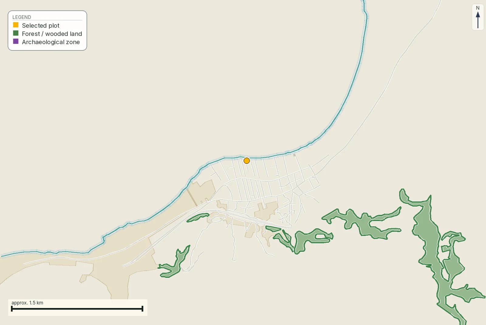
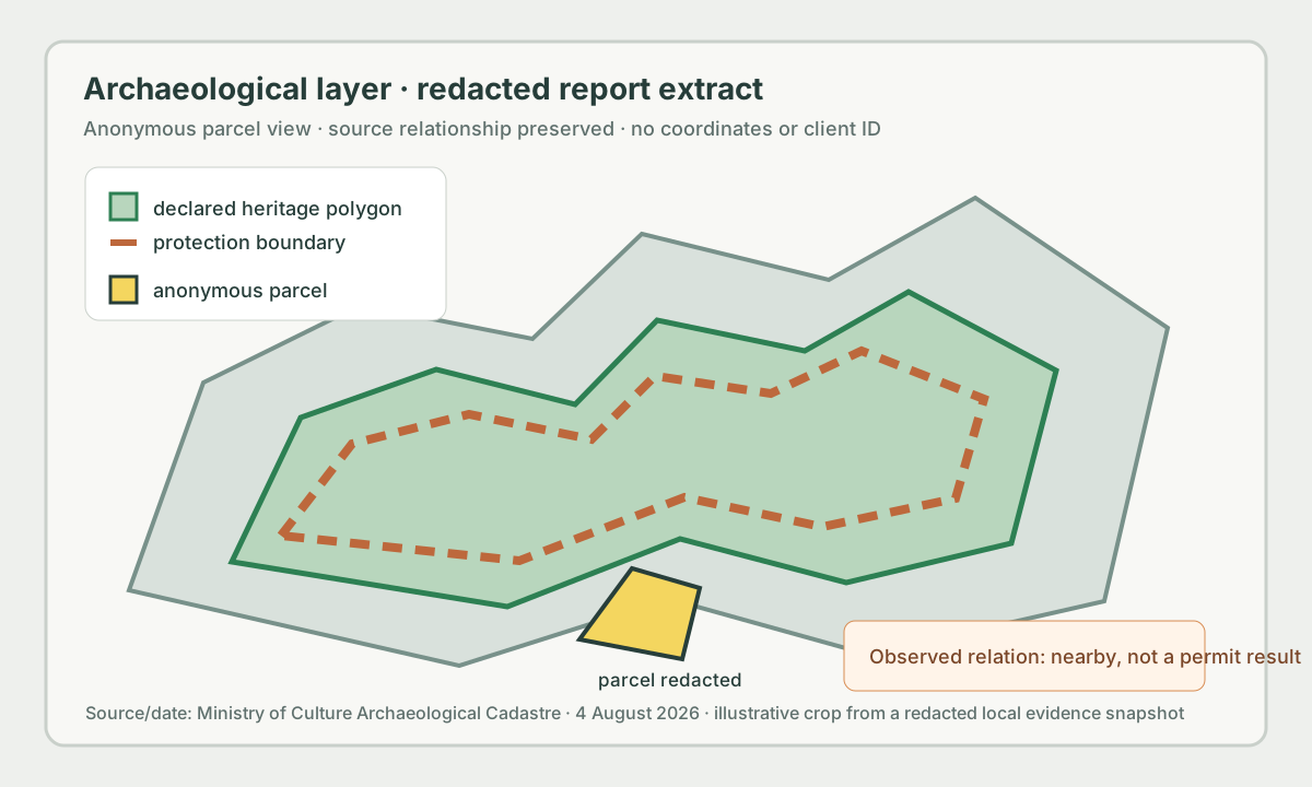
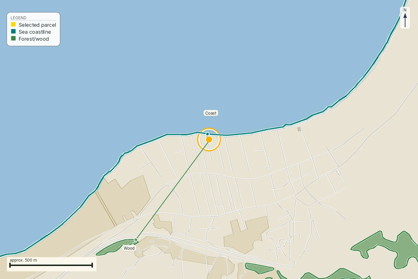
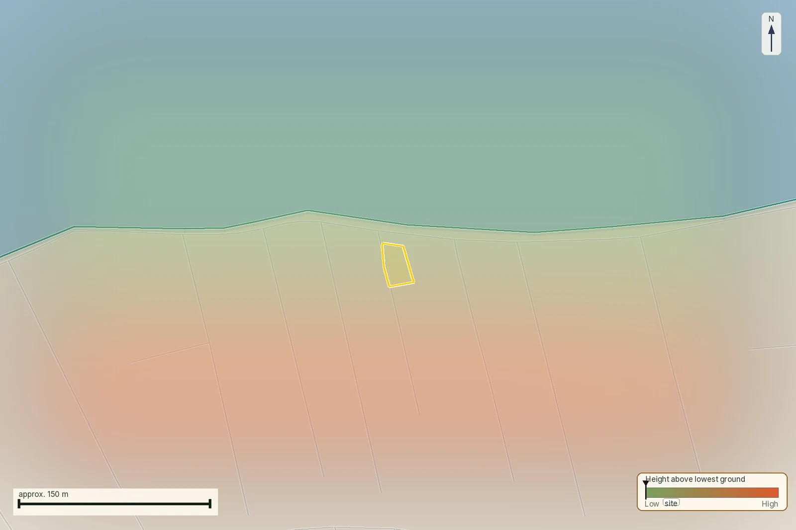
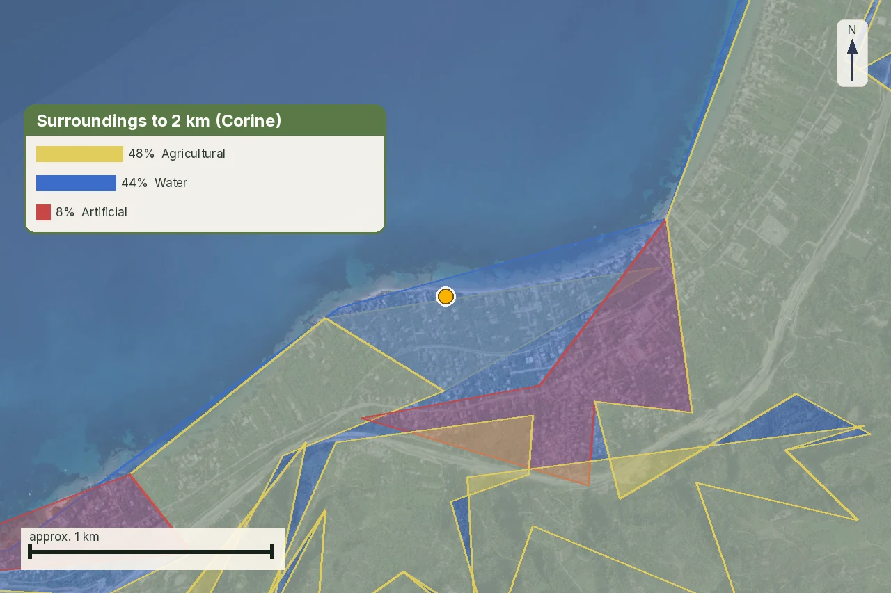
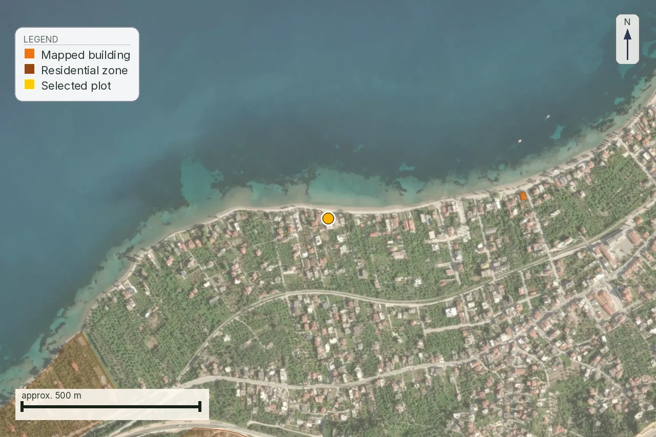
A 15,559 m² parcel in Νάξος, KAEK 29002ΕΚ10017, sits at 37.088° N, 25.365° E, close to sea level and nearly flat. Two public layers put a number on it. An official flood corridor runs within 46 metres. The nearest polygon in the harvested Ministry of Culture Αρχαιολογικό Κτηματολόγιο, an archaeological-site record named Στελίδα Νάξου and kept by the ΕΦΑ Κυκλάδων, sits about 420 metres away, measured from the parcel’s recorded coordinate to the polygon’s own boundary. Neither line crosses the plot.
That is the honest limit of what this screening layer says. It does not say whether a different, unmapped find lies closer, whether the site’s own protection zone reaches further than its core polygon, or which of Zone A or Zone B, if either, would apply if it did. Those three questions belong to the ΦΕΚ decision and the local Εφορεία, and they stay open until someone asks them. The map did not fail. A distance is simply a different thing from a designation.
What a clear or empty search result is worth, and the documents that back it up
A search that returns nothing nearby is worth recording, and worth little beyond that. The Αρχαιολογικό Κτηματολόγιο’s coverage, its update cycle, its digitisation choices and its scale all limit what “nothing returned” can mean. It does not confirm ownership, an absence of unrecorded finds, permission to excavate, permission to demolish, or approval of a future design. A green result here is a starting point for the professional questions above, filed with its own date. It is not a stand-in for their answers.
The reverse error costs more. A red result does not make the whole parcel unusable either. The effect turns on the object, the act, the exact location of the proposed works and the authority’s own process. Write the bounded observation, its source, its date and the professional question it opens, and stop there.
| Check | What it shows | What it does not prove | Next step |
|---|---|---|---|
| Geometry | Which polygon was compared to the parcel | That it is the same title | Match it to the current survey |
| Public record | Whether the Αρχαιολογικό Κτηματολόγιο returns an object | A complete absence of protection | Trace the object to its act |
| Designation | Which zone or site an act created | Approval of a specific proposal | Read the ΦΕΚ decision and its diagram |
| Proposed works | Which intervention is being tested | A final permit | Put it to the Εφορεία and the engineer |
Source: check structure built from άρθρο 12 ν. 4858/2021 and the Αρχαιολογικό Κτηματολόγιο's own description of its record. Checked 7 August 2026.
Before a deposit, collect the current survey and parcel identifier, the title chain, existing building permits and plans, photographs of every structure, the protection-act reference where one exists, and the seller’s own prior correspondence with the Εφορεία. Where an earlier archaeological review exists, ask for the full decision. The single word “εγκρίθηκε” answers nothing on its own; check that the decision names the same parcel, the same building and the same works, because an old repair approval answers nothing about a new excavation.
- An exact parcel polygon and coordinate reference.
- The source layer, its date and its scale.
- The object type returned, if any, and the act that created it.
- The intended works, written as verbs.
- A written answer from the Εφορεία where the work is not routine repair.
Mark each missing item as requested, received, in conflict, or unpublished. Do not fold it into a confident sentence. A vacant plot with no building plans is not incomplete for lacking them, and a plot whose owner never applied for anything is not proven clear by that silence either.
Stop, investigate, or send it to the next professional: the order that keeps the search honest
Three decisions cover every state the search can be in. Stop applies when the parcel’s own identity does not hold, when a controlling act the purchase depends on is missing, or when a proposed intervention has been priced as certain without the Εφορεία’s confirmation; it is a transaction-control decision, and it does not mean the property is legally impossible. Investigate applies when a real spatial relationship exists and its effect needs a document, an authority’s answer or a design review before it can be priced. Proceed to the next professional check applies only once geometry, source and open questions are all written down, and the buyer understands that work-specific approval can still be open.
Run the sequence in order: fix identity and intended use, search the official record and save its date, trace the object to its act, overlay the exact polygon, have the engineer mark the proposed works, and put the written questions to the lawyer and the Εφορεία before signing anything. It is slower than reading a green map, and faster than designing a pool on ground a different act already controls.
Who acts for you when a summons arrives and you are not in Greece
The Εφορεία can call the owner of record to hand over documents or allow a site visit before it issues a decision under άρθρο 10 or άρθρο 12. A Greek owner can walk into the local office and answer in person. A buyer who lives abroad cannot, and that gap does not close on its own. Someone in Greece needs a πληρεξούσιο, a power of attorney, that names this exact task before the call ever comes, because arranging one after the Εφορεία has already written is a slower, costlier version of the same job.
A πληρεξούσιο drawn up for the purchase itself does not automatically cover this. Ask the lawyer to write in, specifically, the authority to submit documents to the Εφορεία, to receive and answer its correspondence, to attend a site visit or arrange for the engineer to attend it, and to sign the application that starts άρθρο 10 παρ. 6’s three-month clock. A power of attorney limited to signing the deed leaves nobody able to answer when the Εφορεία actually calls.
Some steps stay out of reach however the πληρεξούσιο is worded. Nobody can stand in for the owner if the Εφορεία insists on that person specifically, and nobody can make the underlying decision, whether to proceed with an excavation, a demolition or a design change, without instructions from the person actually paying for it. Build that response time into any renovation schedule near a designated site: the Ministry’s three-month clock keeps running while a buyer abroad is reached and asked to decide.
Who answers which question, and who cannot
Ask the lawyer which act and boundary govern the parcel, and whether the contract needs a specific condition. Ask the architect or engineer which of the proposed works change ground, structure, appearance or use, and what has to be filed and where. Ask the Εφορεία Αρχαιοτήτων which file, diagram and application route apply to this exact parcel and this exact proposal. These are three separate questions, and folding them into “is it okay?” gives a professional nothing specific to answer.
Ask the surveyor to confirm that the polygon read against the public layer is the same polygon in the deed and the design. Ask a translator to keep article numbers, zone letters and document references in the original instead of smoothing them into a general phrase. A Greek office reads the citation itself; a paraphrase tells it nothing. No professional here can approve a renovation from a screenshot, and none of them should be asked to.
Where LandCheck’s part in this ends
LandCheck is useful before a lawyer or an architect opens a full file: it compares the selected parcel with the public cultural-heritage layers, records the geometry it used, dates every source and lists the missing act or professional question, alongside the forest, coastal, flood and access checks the same parcel answers to. That value stays organisational. It falls short of a professional certification. The report itself is a dated EUR 39 preflight from public sources and material the buyer supplies. It is not legal, surveying, engineering or archaeological advice, and it does not verify ownership, title, permit validity or the Εφορεία’s approval of anything.
Order it for one exact parcel, and use its source register and gate as the agenda for the lawyer, the engineer and the Εφορεία. What only they can sign stays theirs to sign.
Common questions
Does a map hit near an archaeological site mean I cannot buy the property?
No. It means the parcel and any proposed works need the specific object, its designation act and the Εφορεία's own answer, not just a distance shown on a screening layer.
What exactly does an archaeological Zone A forbid, and is there ever an exception?
Άρθρο 13 ν. 4858/2021 forbids building in Zone A outright. The one route back is a project-specific permit from the Minister of Culture, granted after the Council's opinion, and it is discretionary, not a right attached to the land.
Is Zone B always less restrictive than Zone A?
Not automatically. Zone B carries special terms fixed by a further decision, so its practical effect depends on that decision's own content, not on the letter B by itself.
What law should I actually cite to a lawyer or an Εφορεία?
Ν. 4858/2021 (ΦΕΚ Α΄ 220/19.11.2021), citing άρθρα 10, 12 or 13 as relevant. Ν. 3028/2002 is its predecessor and useful only as provenance.
What should the seller hand over before a deposit?
The current survey, the title chain, existing permits and plans, photographs of every structure, any protection-act reference, and the seller's own correspondence with the Εφορεία, all tied to the same parcel and the same works.
Can LandCheck approve my planned extension or excavation?
No. It organises the public evidence and the open questions. The Εφορεία, the architect and the lawyer answer the proposal itself.
What if the listing pin and the survey disagree?
Stop the archaeological reading until the parcel's identity is resolved. A pin dropped near the real boundary can return a result for the wrong ground.
When should I re-check the archaeological-cadastre result?
Before a deposit, and again immediately before signing if the source, the parcel or the proposed works have changed.
Keep reading
Everything that can stop you building in Greece: the restriction stack
How to read a τοπογραφικό διάγραμμα: the survey sheet, callout by callout
Planning terms and land use in Greece: reading όροι δόμησης and checking them yourself
Buying land in Greece: the pre-purchase checklist, in the order the payments fall
Check this on your own parcel
Pin the plot, confirm the KAEK, and every check in this guide is read against it and written up with its source and date. EUR 39 total · VAT included.