
Διαβάστε το άρθρο στα ελληνικά.
When a Greek deed and the cadastre disagree: who fixes the parcel?
On this page
The parcel on Naxos, KAEK 29002ΕΚ10017, is not an ordinary plot number. It records a 15,559 m² special extent at 0.3 m elevation, in the cadastral exhibition stage. Before comparing an old deed with its line, identify what the registry is actually recording.
This guide is a preliminary screen for a purchase or permit question, not legal, surveying, engineering or tax advice; read the full scope and limits before relying on it.
A seller can hand you an old συμβόλαιο that calls a piece of Naxos farmland by neighbours, a path and a local place-name. The public cadastral record can show another outline, another area, or an object that is not ordinary private farmland at all. The first question is which object each line describes and whether both papers are trying to identify the same thing.
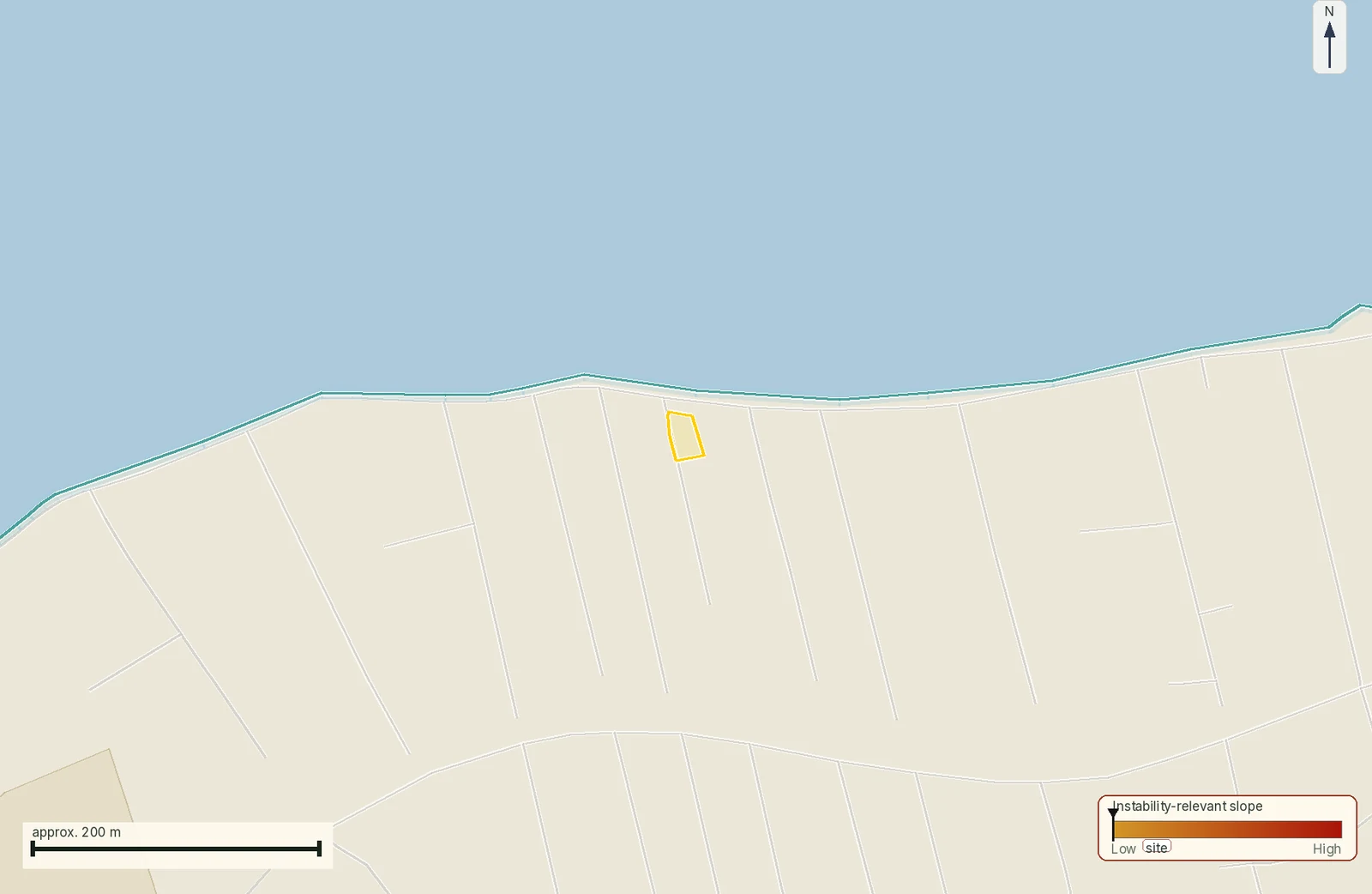
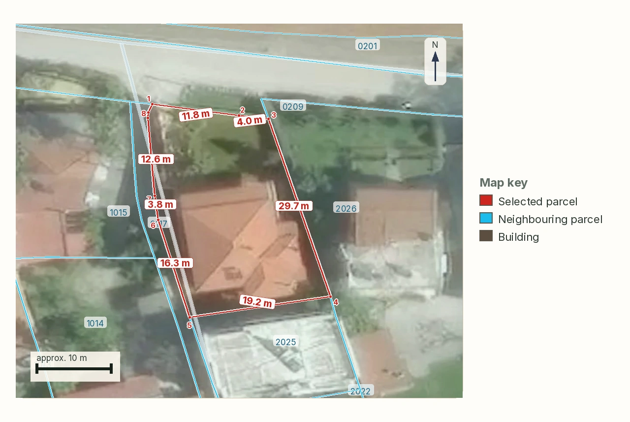
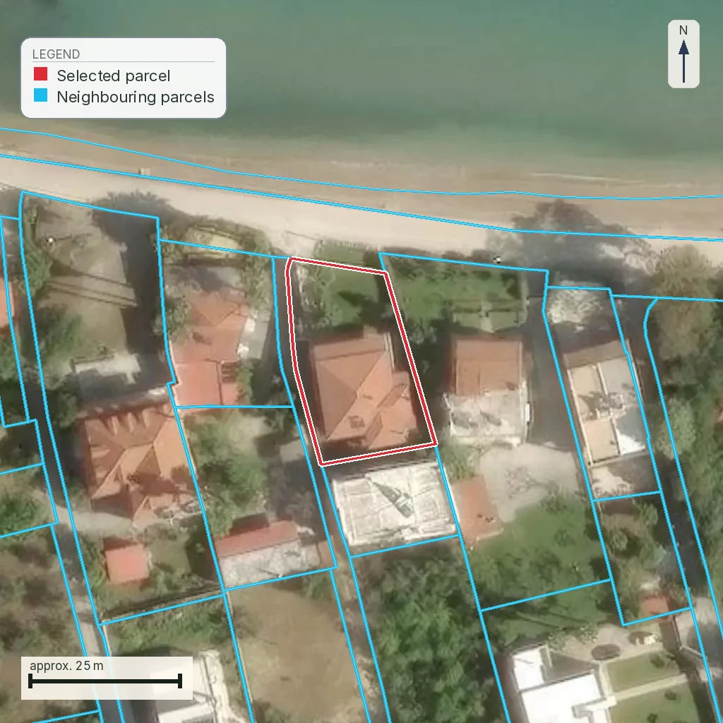
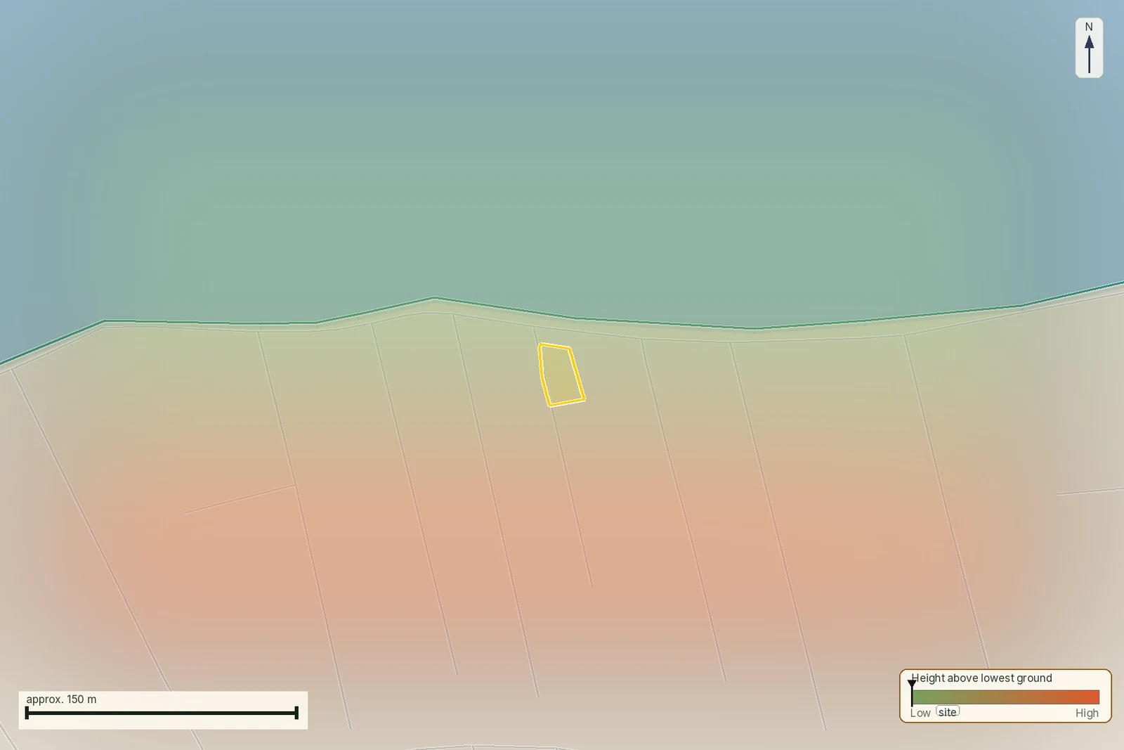
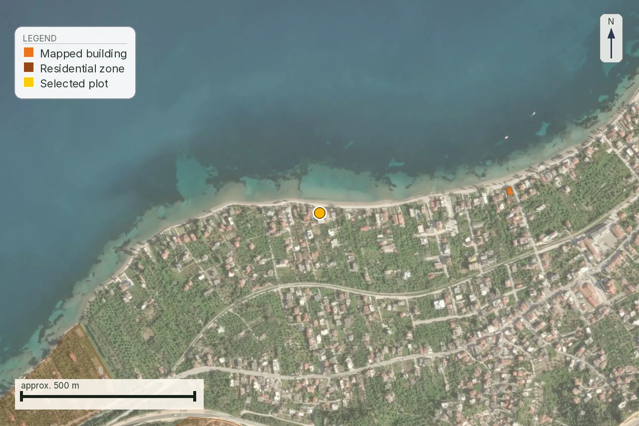
Stay with the Naxos parcel, KAEK 29002ΕΚ10017. It carries an area of 15,559 m² and elevation 0.3 m. A registry check on 1 August 2026 read 15,559.28 m², stage ανάρτηση, and the published description Αιγιαλός, main-use code 6300. The result records the registry's object and gives the buyer a reason to pause until deed, cadastral entry and ground are reconciled.
The KAEK guide explains the code itself. For the boundary comparison that sits behind the mismatch, see the title-and-boundaries guide. This page deals with the harder purchase question: the deed says one thing and the cadastral sheet says another. The answer comes from the stage of the cadastral area, the kind of mismatch and the professional who can act.
First read the two papers as different records
| Paper | What it can tell you | What it cannot settle alone |
|---|---|---|
| Old deed | How the parties described the property at that transaction: neighbours, landmarks, area and the chain of transfer. | Whether the described words still fit the current cadastral polygon or whether the seller has a clean, enforceable right. |
| Cadastral sheet and map | The KAEK, the registered spatial object, its current stage and the rights or notices shown in the register. | Whether the seller's private description is physically correct, or whether every burden and historical act has been found. |
| Surveyor's reconciliation | A comparison of the deed description, coordinates, adjoining land and visible ground. | A court judgment, a title search or a decision that an authority has not issued. |
A KAEK is therefore a fixed handle for the registry object; it carries no warranty attached to the seller's sentence. The official guide calls an ΕΚ entry a γεωτεμάχιο ειδικής έκτασης. That label belongs in the first line of the purchase file, before anyone calculates a price per square metre.
The two letters in the code identify a special extent
The Hellenic Cadastre glossary defines special-extent parcels as objects depicting roads, rivers, streams, lakes, beach or foreshore. In the same guide, the cadastral diagram for such a KAEK contains the coordinates of the requested object and not those of its neighbours. That is a different job from drawing a private field boundary around a seller's house or olive grove.
An ordinary ΚΑΕΚ is described as a twelve-digit code, and that is the right expectation for an everyday parcel. This one is not: the live registry record carries the letters ΕΚ in positions 6–7, in place of two of the usual digits, and its published description says Αιγιαλός. This specific code runs to twelve characters, letters included; that is a different count from the usual twelve digits. A count against the operating cadastre's own published service found 420,871 codes with ΕΚ on 1 August 2026. Of those, 205,350 were road categories, 93,177 were river, channel or stream categories, and 7,770 were αιγιαλός or παραλία. Those counts measure the published service; they do not establish a new legal definition.
Do not expand the abbreviation. The category and its match with the published composition are established above. No official text spelling out what each letter stands for was found. The safe statement is “ΕΚ, ειδική έκταση”, not an invented expansion.
This parcel is the useful warning because its registry description is more serious than an area mismatch. If an old deed calls the same ground a private field, the buyer needs the full title and public-law file. The cadastral record does not by itself transfer ownership to the State, and the deed does not by itself erase the recorded special-extent object.
Where the line sits in the four-stage process
Greek cadastral data does not become one national, final map in a single act. The registry's service grouped 5,780 ΟΤΑ on 1 August 2026 into four statuses. The first is προκαταρκτικά υποβάθρα, preliminary cadastral maps. The second is ανάρτηση κτηματογράφησης, public exhibition. The third is λειτουργούν Κτηματολόγιο, an operating cadastre. The fourth is εκτός κτηματογράφησης, areas excluded from the cadastral survey.
The same measurement counted 3,596 operating ΟΤΑ, 1,955 exhibition ΟΤΑ, 179 with preliminary maps and 50 excluded. The parcel layers held 12,300,629 operating parcels, 5,202,635 exhibition polygons and 242,784 preliminary polygons. The exhibition totals do not match the ΟΤΑ table because 405 exhibition rows have no parcel total. Keep the source table beside the number so each count retains its meaning.
The parcel is in ανάρτηση. That word changes the force of a drawn boundary. It is published for inspection and correction, with finality still open. During cadastral survey, objections follow article 7 of ν. 2308/1995, ΦΕΚ Α΄ 114/15.6.1995, with the later committee route in article 7A. A line can move because the survey record or an objection changes the material the map is based on. The old deed remains the old deed; the public exhibit remains an open cadastral record until its own process is complete.
- Freeze the exact KAEK and save the map, sheet, source name and read date.
- Ask the seller for the full deed chain. Mark every neighbour and place-name it uses, not just the last deed.
- Have a surveyor compare that description with the published geometry and with the ground.
- Ask the competent cadastral office whether the discrepancy belongs in the exhibition objection route or in a later correction route.
The exhibition objection is its own file
Because the parcel is in ανάρτηση, do not treat the displayed polygon as the last available word. Objections during the cadastral survey follow article 7 of ν. 2308/1995, with the later committee machinery under article 7A. A buyer needs to know whether an objection, correction application or committee matter is attached to the parcel, beyond the fact that an online map can be opened.
Ask for the notice or application number, the date it was filed, the boundary it challenges and the response already issued. If article 6 paragraph 2γ of ν. 2664/1998 is engaged because a correction application is pending, the later court action can have to name both the recorded beneficiary and the correction applicant. That is a procedural fact for the lawyer; no source read on 1 August 2026 records such a pending matter for this parcel.
The practical record is therefore four items: the parcel's KAEK, the dated map or sheet, the complete deed chain and any objection correspondence. Without the fourth item, a buyer cannot tell whether the disagreement is a discoverable survey mismatch or an issue already moving through the cadastral process.
Source: Law 2308/1995 articles 7 and 7A (ΦΕΚ Α΄ 114/15.6.1995) and law 2664/1998 article 6 paragraph 2γ, checked 1 August 2026. Limitation: no pending objection for this parcel was found in a public source on that date; ask the competent cadastral office directly.
Οριστικοποίηση changes the buyer's leverage
Once an area is operating, the question becomes whether a line is provisional or final. Under article 6 paragraph 2a of ν. 2664/1998, ΦΕΚ Α΄ 275/3.12.1998, as replaced by article 102 paragraph 1 of ν. 4623/2019, ΦΕΚ Α΄ 134/9.8.2019, the action deadline runs from the local first-registration start and ends on 31 December of the year in which eight years are completed. The clock belongs to the local area, with no single deadline for every listing.
Article 7 paragraph 1 says that an unchallenged first registration becomes final and produces an αμάχητο τεκμήριο for the person shown as beneficiary. Paragraph 2 is why a buyer cannot postpone the question. The real owner is generally left with a personal claim for the monetary value of the enrichment at the time the presumption arose. Recovery in kind survives only in the narrow situation described by that provision, including the absence of a later onerous succession and registration.
The old-programme reopening in article 5 of ν. 5076/2023, ΦΕΚ Α΄ 207/13.12.2023 ended on 30 November 2024. It cannot be presented as a current rescue window. The registry's dated per-ΟΤΑ table, issued 15 June 2026, lists different local expiry dates, including 31 December 2033 for Τερψιθέα and 31 December 2034 for Πόρος. Find this parcel's own row before relying on a general explanation.
For a purchase, finalisation answers what a late challenge may cost. It does not answer whether the old deed and the polygon originally described the same ground. That identity problem must be fixed before the deadline turns a disagreement into a much harder claim.
Read the local deadline before you price the risk
The eight-year rule is not a date that can be copied from a nearby island or from a different listing. The clock begins with the local publication identified in article 6 paragraph 2c and ends on 31 December of the year in which eight years are completed. The registry table is useful because it is organised by ΟΤΑ, but it still has to be matched to the exact cadastral area in the file.
For this parcel, the final-registration deadline was not found in the registry's public per-ΟΤΑ table checked on 1 August 2026. That absence is itself a missing-data item. Before a deposit, ask the lawyer to identify the correct local row and to write down which first-registration event starts the clock. Do not turn the 31 December 2033 date recorded for Terpsithea, or any other published example, into a Naxos answer.
The date also changes the remedy conversation. A timely challenge to a first registration is not the same problem as an administrative correction of a visible mistake, and neither is the same as proving that an old deed describes the mapped object. Keep the deadline, the route and the boundary evidence in separate fields in the purchase checklist.
Source: Law 2664/1998 article 6 paragraph 2a, as replaced by law 4623/2019 article 102 paragraph 1, and the Hellenic Cadastre's dated per-ΟΤΑ correction-deadline table (15 June 2026), checked 1 August 2026. Limitation: no expiry date for this parcel's own ΟΤΑ row was found; ask the cadastral office to confirm it.
«Αγνώστου ιδιοκτήτη» is a deadline problem, not a blank field
Article 9 paragraph 1 of ν. 2664/1998 provides that land shown as «αγνώστου ιδιοκτήτη» is considered to belong to the Greek State once the first registration becomes final, with the same irrebuttable presumption described in article 7. A buyer who sees that phrase on a sheet must treat it as a live procedural issue before completion.
Before finalisation, article 6 paragraph 3a provides an application before the cadastral judge of the property's location, or, until that judge is appointed, before the Single-Member Court of First Instance in voluntary jurisdiction. The State must be served within 20 days of filing, on pain of inadmissibility. Law 2664/1998 also sets out separate routes where a third party holds part of the right or where the claim rests on extraordinary acquisitive prescription (article 6 paragraphs 3αα and 3ββ). The deed chain decides which route is even available.
This is why the article does not infer an unknown-owner result for this parcel. The dated finding is ΕΚ, αιγιαλός, 15,559.28 m² and exhibition stage. A status not read in the source remains unestablished. Ask for the current cadastral sheet and the rights page instead of filling the gap with a seller's assurance.
Who corrects the disagreement?
The office and the remedy depend on the kind of error. A πρόδηλο σφάλμα under article 18 paragraph 1 of ν. 2664/1998 is decided by the head of the cadastral office, on application or on the office's own initiative, and the application carries no fees or proportional rights. The citizen guide records a 15-working-day appeal route after the head fails to decide or rejects.
A boundary or shape problem is not automatically a manifest error. Article 19 paragraph 2 uses the application for geometric errors and requires a diagram of geometric changes. Affected neighbours are served unless they sign, and the application is also free of cadastral fees. If the dispute is about the first registration itself, article 6 paragraph 2 sends it to court. The initial mandatory mediation call and the geometric diagram required for the discussion are part of that judicial route.
There are two 2024 routes worth separating from this parcel's present evidence. Article 15 of ν. 5142/2024, ΦΕΚ Α΄ 158/4.10.2024 concerns direct correction after a forest-map objection decision under article 15 of ν. 3889/2010. Article 16 concerns unilateral notarial correction for horizontal and vertical properties and an area deviation up to 2% from the constitution. Neither is a generic answer to an ΕΚ foreshore record.
Documents, counters and money
Start with a dated copy of the cadastral sheet, the cadastral map extract and the complete deed chain. The Hellenic Cadastre guide says the cadastral map extract is attached with a registrable act, while the cadastral diagram is supplied for a private engineer's work when a registrable act changes geometry or a correction concerns geometric elements. For a mismatch like this one, request the document that shows the current geometry and ask the surveyor which correction drawing is actually required.
The registry's public material describes a target structure of 17 cadastral offices and 75 branches under ν. 4512/2018. The older system had 392 mortgage registries. The practical counter is the competent local Kτηματολογικό Γραφείο, identified from the KAEK and the area, not whichever office is nearest to the estate agent.
| Request or act | Recorded amount or route | Use in the mismatch file |
|---|---|---|
| Copy of cadastral sheet | €9.50, plus €4.50 for each extra sheet | Read rights, notices and the entry date. |
| Cadastral map extract | €15 per extract | See the KAEK and surrounding registered geometry. |
| Cadastral diagram | €33 | Give the engineer the registry geometry used for a spatial correction. |
| Certificate of cadastral registrations | €9.50 | Check the registration record at the date issued. |
| Manifest-error or geometric-error application | No cadastral fee recorded in the guide | Free does not mean automatic. The office still decides whether the route fits. |
Article 3 of decision 2/12.1.2026 (Government Gazette B 64/13.1.2026) sets the sale-registration fee at a fixed component, €3 under paragraph 3 plus €20 under paragraph 4γ, €23 together, and a proportional charge of 5‰ under paragraph 4α, raised to 6‰ under paragraph 4δ for entries made in the cadastral book of article 10 of ν. 2664/1998; that combination is what puts a €100,000 sale at €623. Whether this parcel's own entry, still in cadastral exhibition and not yet in an operating cadastre, falls under the 5‰ or the 6‰ rate was not confirmed in a source read for this page. Treat the €623 figure as illustrative of the fixed-plus-proportional structure only; it does not stand as a quote for this ΚΑΕΚ. Registry charges are separate from the lawyer's, notary's or surveyor's fee. Engineers' fees are freely agreed in writing under article 7 of ν. 3919/2011, ΦΕΚ Α΄ 32/2.3.2011; no reliable correction price for this parcel was found in a public source on 1 August 2026, so none is invented here.
Keep the counter receipt with the boundary evidence
A correction file is easier to review when every document carries the date and the object it belongs to. Put the KAEK on the sheet copy, map extract, diagram, deed-chain index and any application receipt. Record whether the document came from the operating office, a branch or an electronic service, because the Hellenic Cadastre itself distinguishes the competent cadastral office from the older mortgage-registry structure.
The amounts in the fee annex buy documents or register an act; they do not buy a favourable decision. A free manifest-error or geometric-error application can still be rejected because the facts do not fit that route. Likewise, a surveyor's written reconciliation may show that the problem is a title or first-registration dispute. Take that file to the lawyer; do not relabel it as a cheap office correction.
For this parcel, the minimum handover to a professional is therefore not just the map screenshot. It is the dated sheet, the map extract or diagram requested, the deed chain, the public-law material relevant to the Αιγιαλός description, and a note saying what the cadastral office has and has not decided. No public office hands over that file ready-made; the buyer must request it at the competent Κτηματολογικό Γραφείο.
Source: Hellenic Cadastre citizen guide (Οδηγός Εξυπηρέτησης Πολιτών), fee annex and office structure, ktimatologio.gr, checked 1 August 2026. Limitation: no parcel-specific office receipt or professional quote was found in a public source on that date; ask the cadastral office or the surveyor for one directly.
Naxos: answer the buyer's actual question
| What is read | What it establishes | What remains open |
|---|---|---|
| KAEK 29002ΕΚ10017 | A registry identifier for the published spatial object. | Whether the old deed's described private right attaches to that object. |
| ΕΚ, `Αιγιαλός`, main-use code 6300 | The registry classifies the parcel as a special extent, measured on 1 August 2026. | The legal title, the public-law file and the exact relationship between deed and foreshore. |
| 15,559.28 m², elevation 0.3 m | The dated parcel and terrain figures in the registry service. | Whether the area described in the deed is the same area on the ground. |
| Ανάρτηση | The cadastral area is in public exhibition, not presented here as final. | What objection, correction or later first registration will decide. |
So which one are you buying? You are buying only the right that a valid deed and the register can establish, over the object that the current survey identifies. This parcel's public result does not support pricing it as an ordinary private field. It supports a pause, a title search, a surveyor's boundary reconciliation and a written answer from the competent cadastral office.
Who fixes it? The surveyor does not change the register. The cadastral office can decide an administrative correction when the facts fit article 18 or 19. A lawyer chooses and prepares the title or court route when the issue is ownership, final first registration or a contested right. If the seller will not supply the sheet, deed chain and source date, the disagreement is already a purchase decision.
What the map does not confirm
The parcel's map can show a cadastral object, its published category, its geometry and the stage read on the stated date. It cannot confirm that a seller owns the object, that an old deed describes it, that a foreshore classification has been resolved under public law or that the land is buildable. Those are separate questions with separate evidence.
Use the map as the starting point for the document request: current sheet, rights page, deed chain, survey and the competent office's written position. If one of those is missing, the map records the registry display while the acquisition question remains open.
Source: Hellenic Cadastre citizen guide (ΕΚ/special-extent glossary and cadastral-stage definitions) and the Ελληνικό Κτηματολόγιο parcel-service record for KAEK 29002ΕΚ10017, checked 1 August 2026. Limitation: ownership, a private foreshore right and buildability were not established from a public source on that date; ask the cadastral office, a lawyer and a surveyor.
Scope of this page
This is a property preflight, not a title opinion, cadastral certification, survey, valuation or legal advice. It explains what the dated parcel record says and what it does not prove. It does not confirm ownership, private foreshore rights, a building right or a successful correction. Those answers belong to the deed file, the current register, the survey and the competent authority.
Common questions
What does the ΕΚ in KAEK 29002ΕΚ10017 mean?
It identifies a special-extent cadastral object. The official glossary covers roads, watercourses, lakes, beach and foreshore. An official expansion of the two letters was not found in any public text opened.
Is an ΕΚ code a normal private plot number?
No. ΕΚ is the registry's category for a special extent. For this parcel, the dated service response also says αιγιαλός, so the buyer needs a title and public-law review before treating it as private field.
Can the cadastral line change while my old deed stays the same?
Yes, during the exhibition process the published cadastral material remains open to objections and corrections. The deed is not rewritten by that change, so a surveyor must compare both records and the ground.
What happens if my cadastral entry says unknown owner?
Before finalisation, a specific application or action may be available depending on the deed and right. Once the first registration is final, article 9 of law 2664/1998 treats the entry as belonging to the State, subject to the statutory route that applies.
Which office fixes a wrong cadastral boundary?
The competent cadastral office can decide a manifest or geometric-error application when the facts fit articles 18 or 19 of law 2664/1998. Ownership and final-registration disputes may require the court route, with a lawyer selecting it.
How much will a cadastral mismatch cost to investigate?
The Hellenic Cadastre's fee annex records €9.50 for a cadastral-sheet copy, €15 for a map extract and €33 for a cadastral diagram. Professional fees are not a statutory price here and must be agreed in writing.
What does finalisation take away from the person named in the old deed?
It can make a timely challenge decisive. Article 7 says the final first registration carries an irrebuttable presumption for the recorded beneficiary, while the real owner generally retains a personal monetary claim rather than recovery of the land.
What should I ask the seller before paying for a special-extent parcel?
Ask for the current cadastral sheet, the map or diagram, the complete deed chain, any objection or correction papers, and the public-law file behind the recorded foreshore description. This parcel's dated result does not establish that those documents exist or that the seller's right is valid.
Keep reading
ΚΑΕΚ and the Greek cadastre: reading the code, and the deadline behind it
Greek title deeds and boundaries: when words meet a coordinate polygon
How to read a τοπογραφικό διάγραμμα: the survey sheet, callout by callout
Buying land in Greece: the pre-purchase checklist, in the order the payments fall
Check this on your own parcel
Pin the plot, confirm the KAEK, and every check in this guide is read against it and written up with its source and date. EUR 39 total · VAT included.